
Professional high-quality GPS tracker manufacturer from China. Cantrack delivers 16-year expertise in Fleet&Assets tracking. Real-time monitoring & anti-theft for vehicles, global assets.

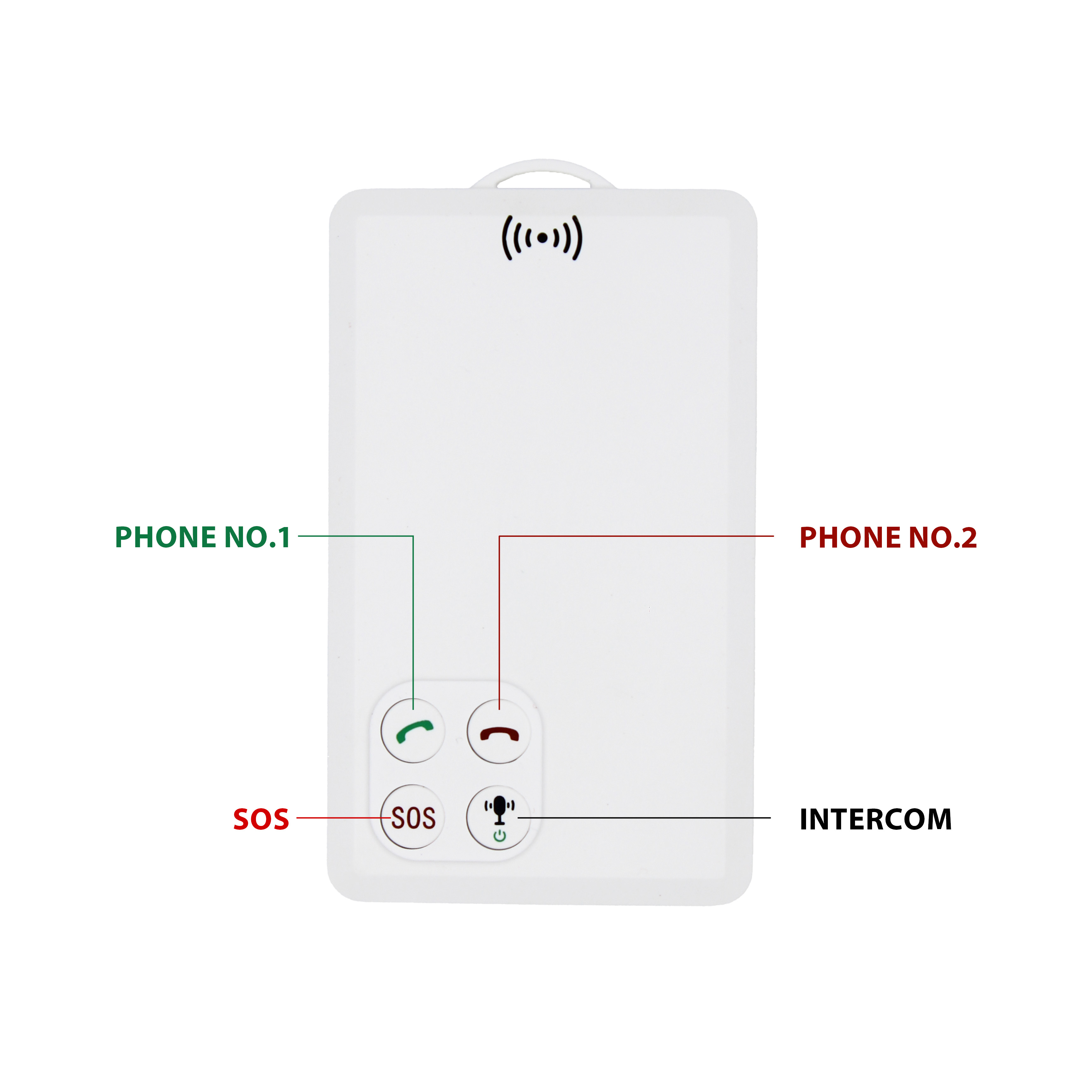
P901 is the thinnest smart walkie-talkie with real time GPS tracking function.It can be used in any place with GSM signal regardless distance limitation.We've already tested one key push-to-talk N...



24 GPS satellites operate at an altitude of 20,200 kilometers above the ground, making it possible to observe more than 4 satellites simultaneously at any point on the ground at any time. Since t...
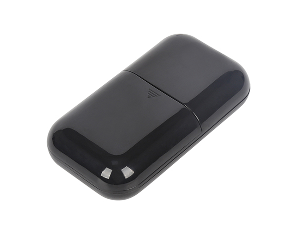
GPS application The application of gps global satellite positioning and navigation system in the civil field, in addition to the professional application field, with the requirements and improvemen...

GSP composition features The global positioning system consists of three parts: (1) the ground control part, which consists of the main control station (responsible for managing and coordinating th...
In the GPS application, the orbit error mainly affects the positioning accuracy in the early stage, and the early GPS baseline is relatively short and the height difference is not large, so the re...
The application of GPS in monitoring the ionosphere is also the beginning of GPS space meteorology. Space is full of plasma, cosmic ray particles, and electromagnetic radiation of various bands. B...
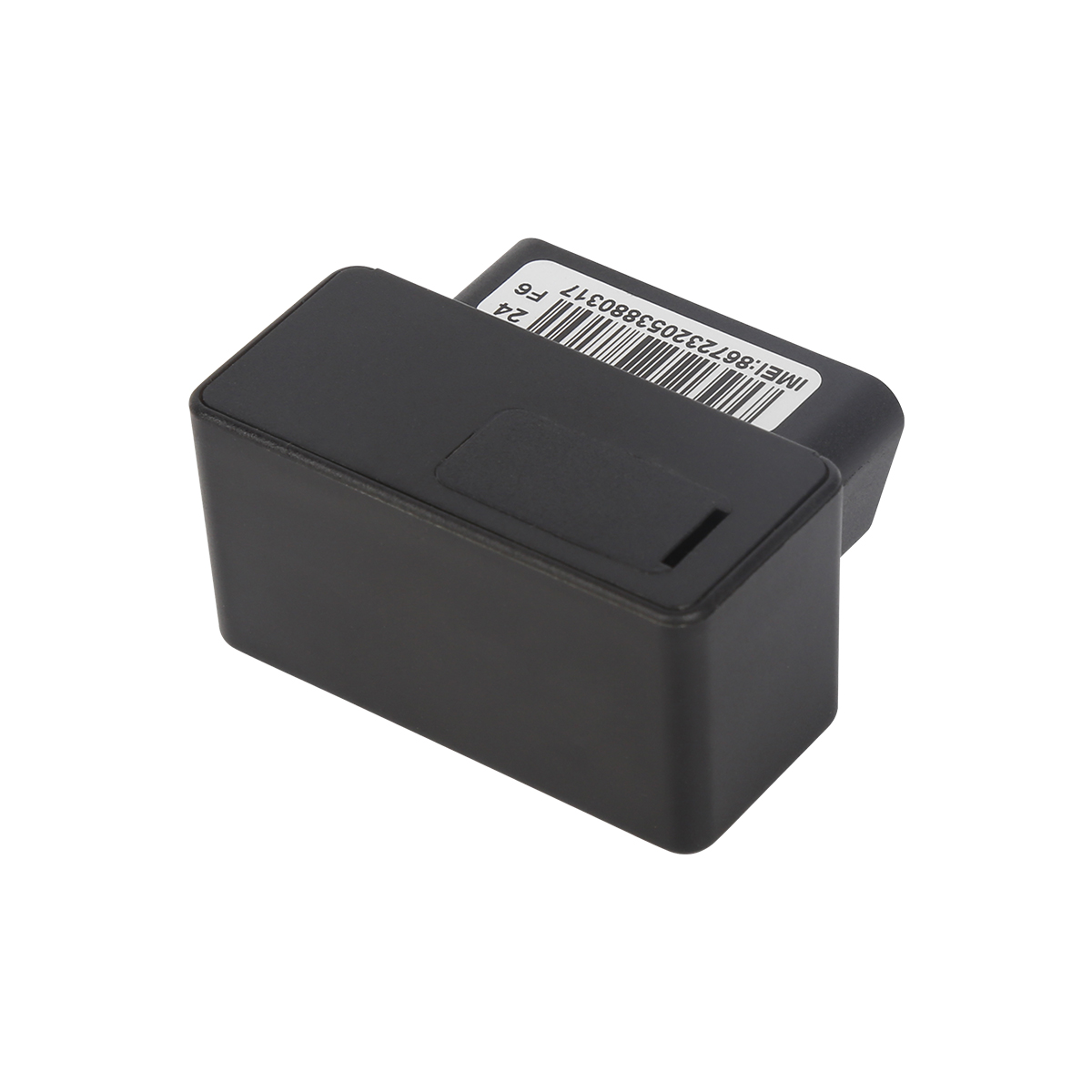
The essence of satellite-to-satellite tracking (SST) technology is to measure the distance change between two satellites with high resolution. The former category is high-orbit satellites (such as...

GPS early warning is accomplished by setting coordinates in the GPS early warning device through GPS satellites. For example, when an electronic eye is encountered, a coordinate is set directly unde...

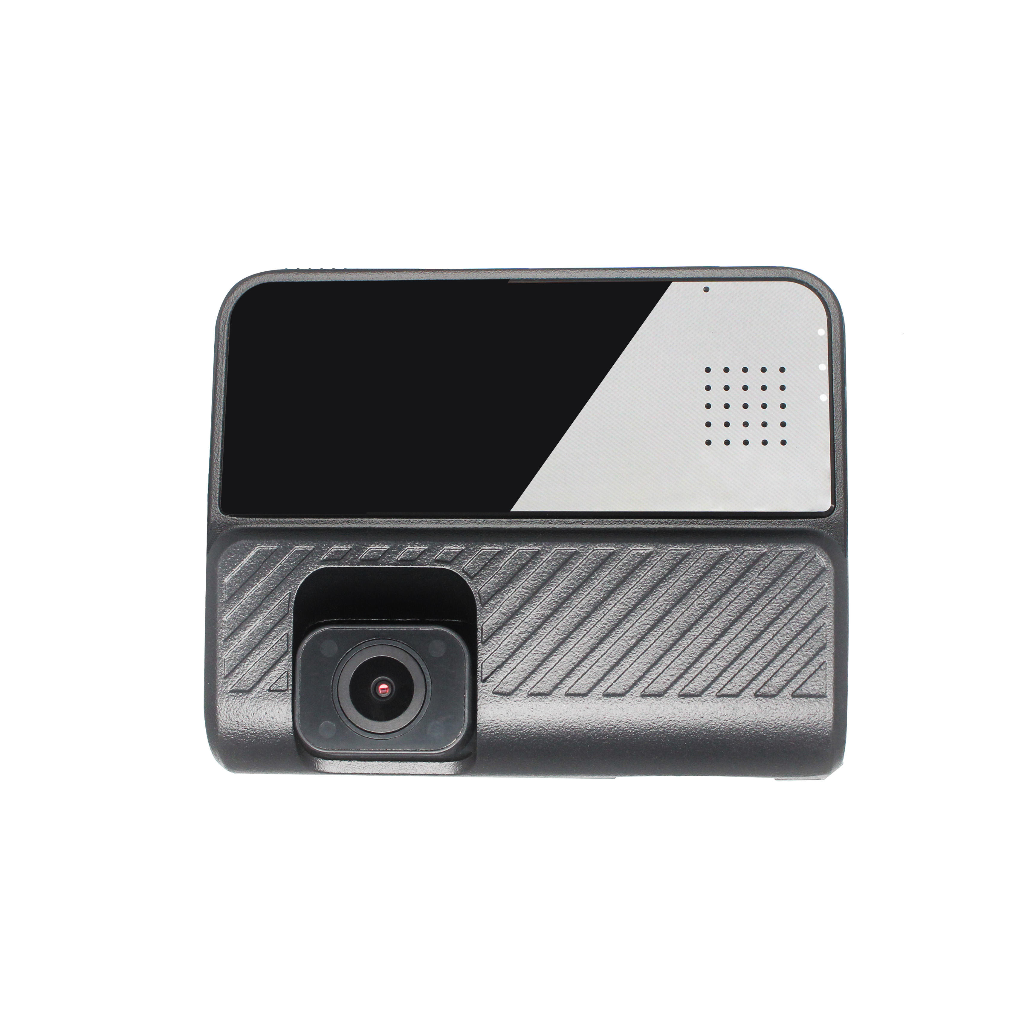
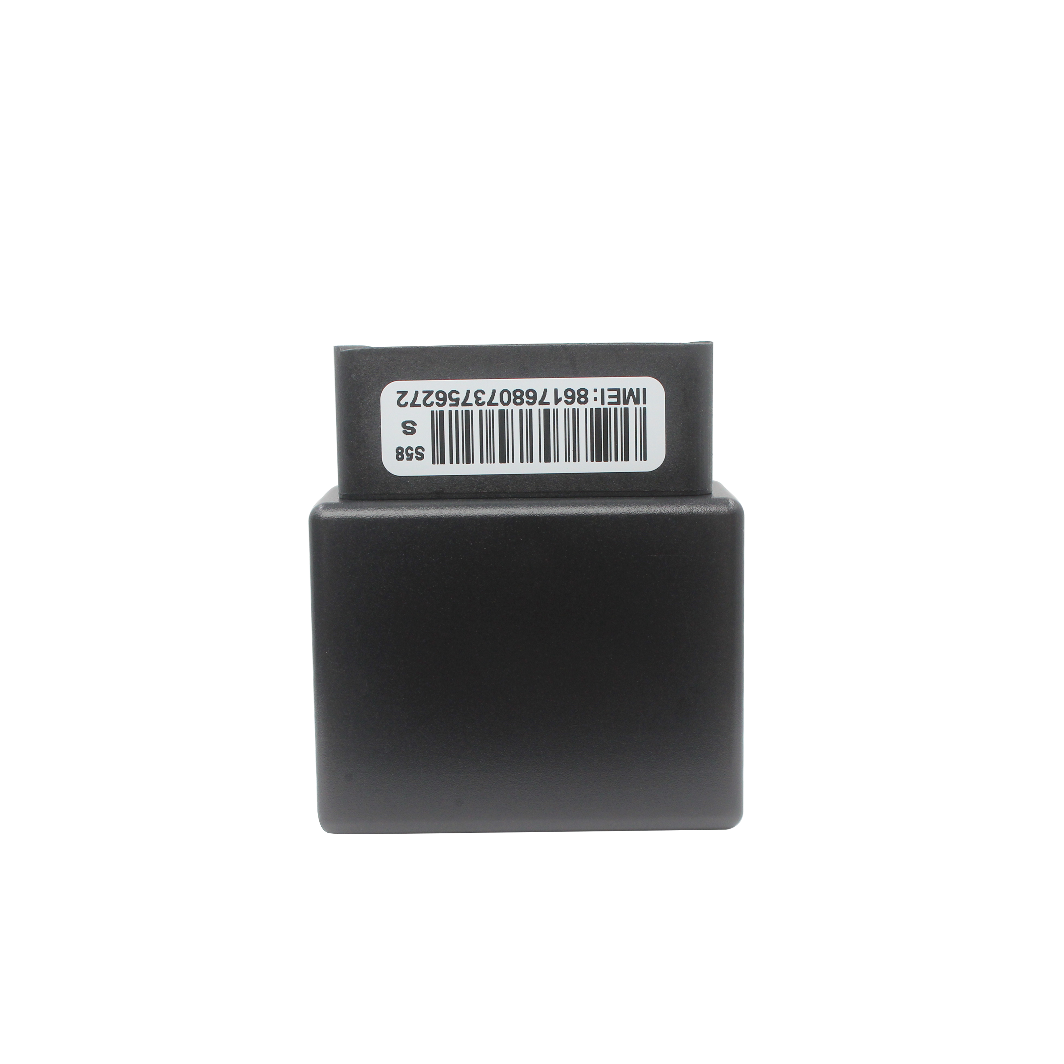
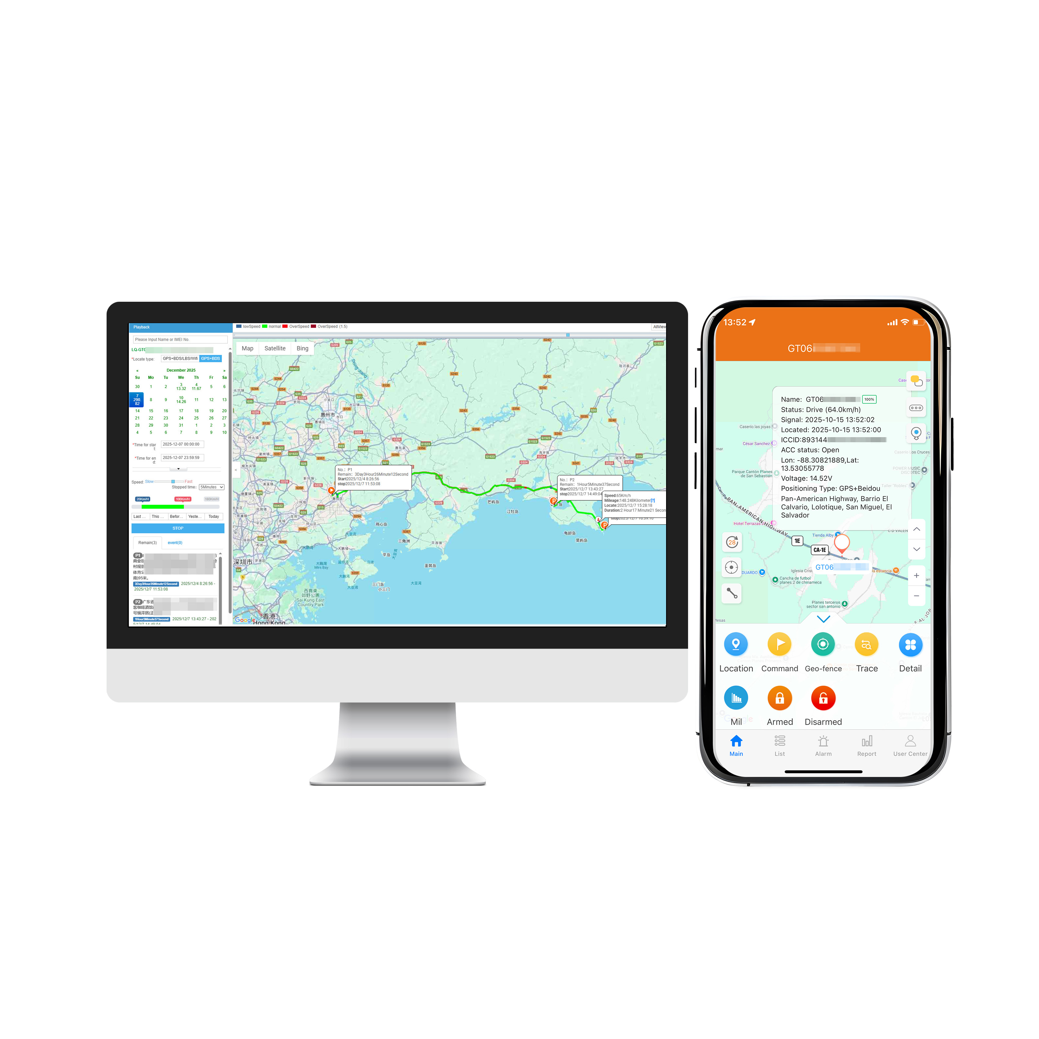
When a GPS positioning terminal is made through hardware and software for vehicle positioning, it is called vehicle GPS, but positioning alone is not enough, and this positioning information must ...
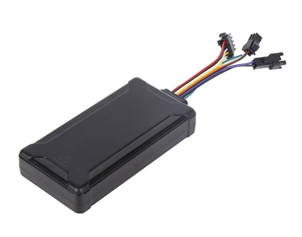
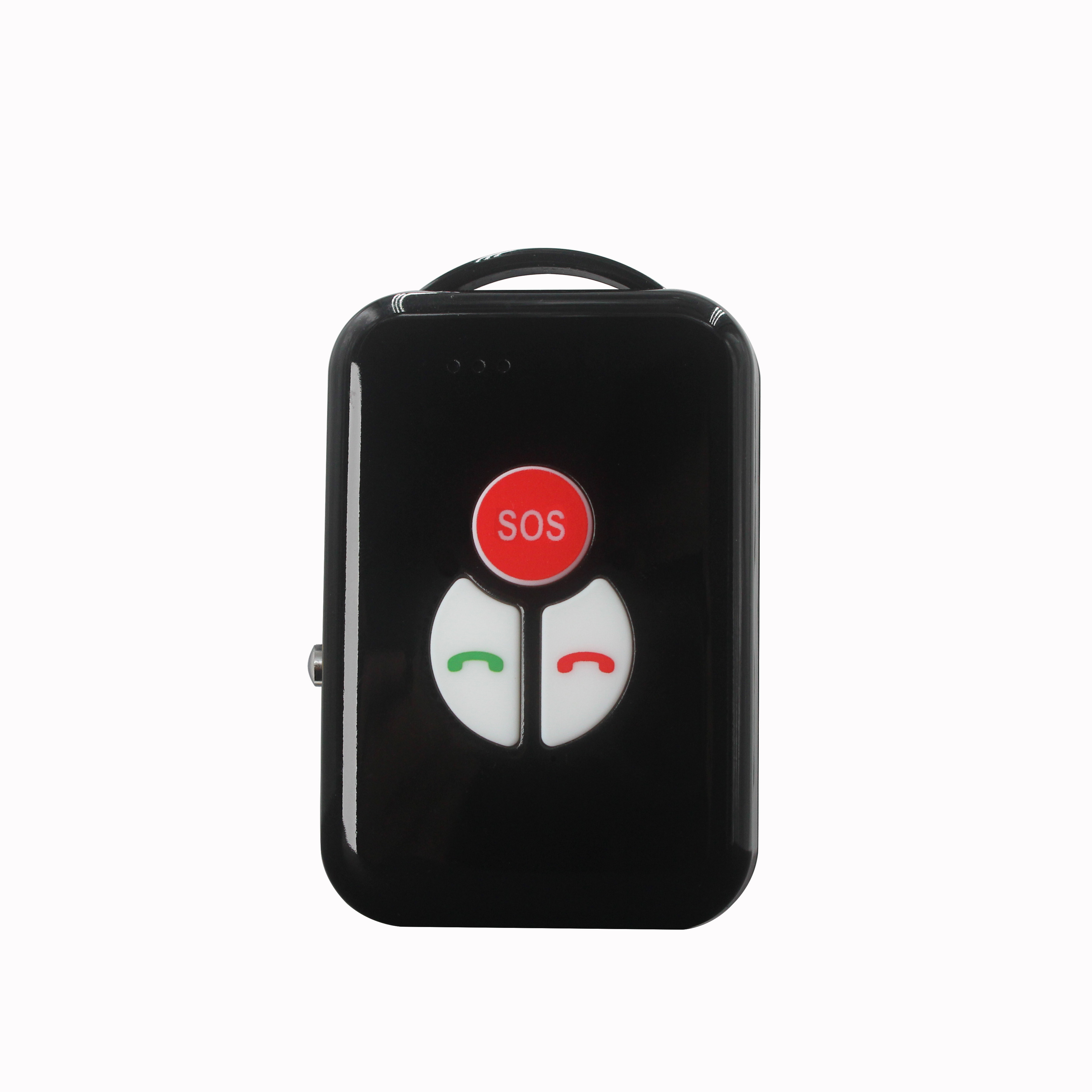
Similar to the car GPS terminal, there are positioning mobile phones, personal locators, etc. Because GPS satellite positioning needs to use third-party positioning services, it has to pay varying...
alger.qin@6gpstracker.com
 Phone: +86 198 7412 0903
 Tel: +86 755 2370 2092
 WhatsApp: +86 198 7412 0903
 Add: FL5, BLDG B, Lianxing Industrial Park, JiangJun Rd, Qiuchang, HuiYang District, Huizhou, Guangdong, China
Copyright © Huizhou Cantrack Technology Co., Ltd. All Rights Reserved. Sitemap “仲达荣”商标为惠州市仲达荣科技有限公司所有


Product

About
Support
News
Contact Us







 Language













 EN
EN