
Professional high-quality GPS tracker manufacturer from China. Cantrack delivers 16-year expertise in Fleet&Assets tracking. Real-time monitoring & anti-theft for vehicles, global assets.

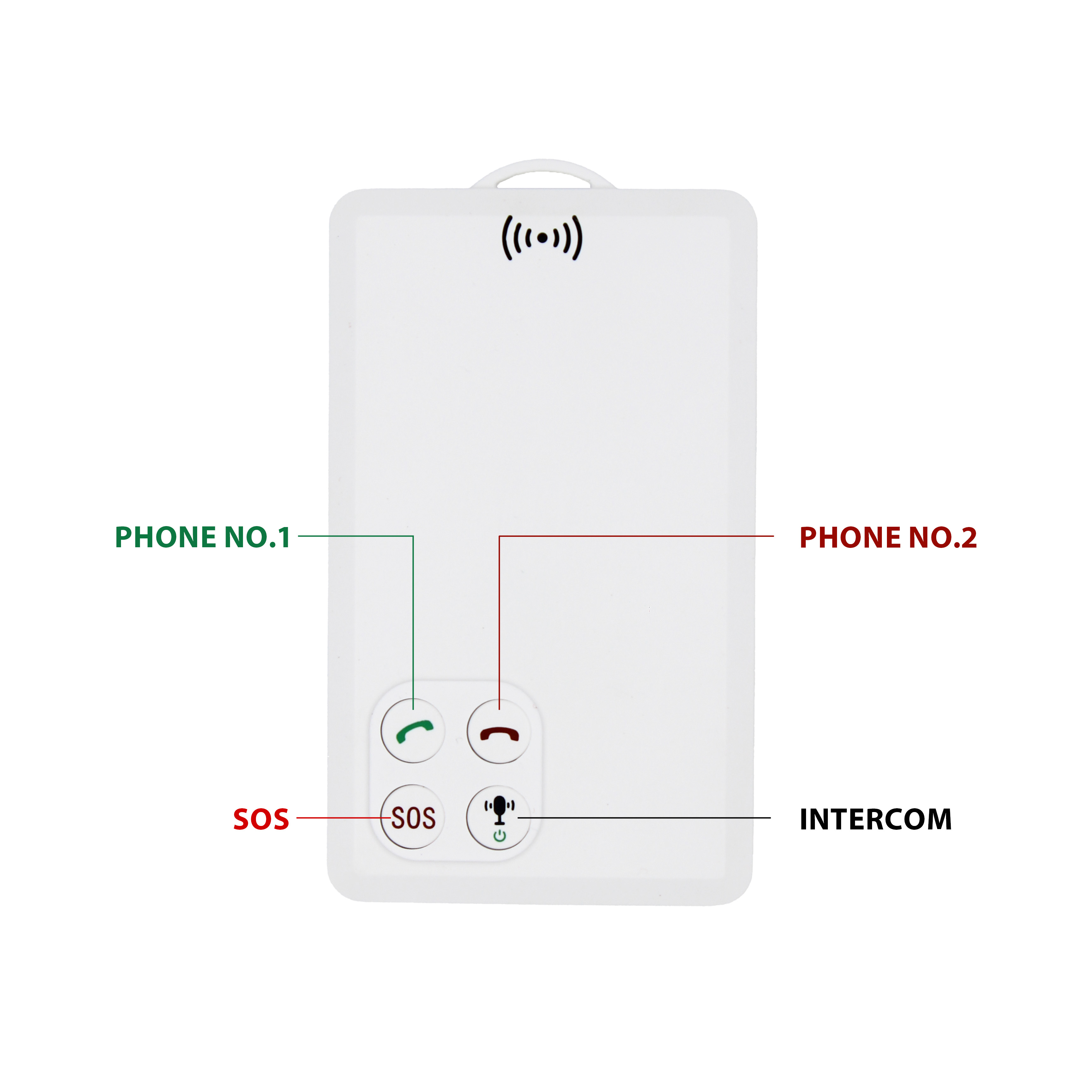
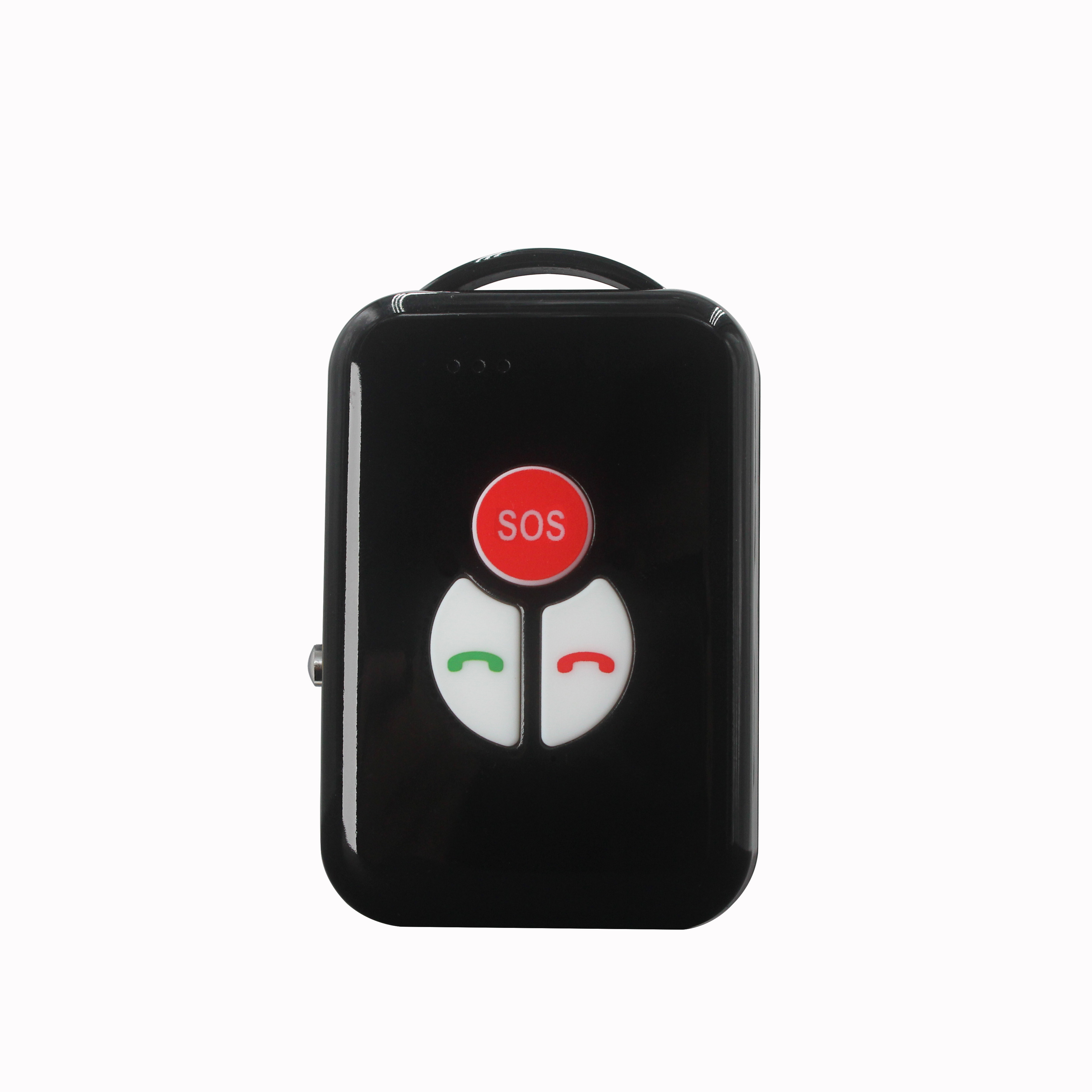
P901 is the thinnest smart walkie-talkie with real time GPS tracking function.It can be used in any place with GSM signal regardless distance limitation.We've already tested one key push-to-talk N...


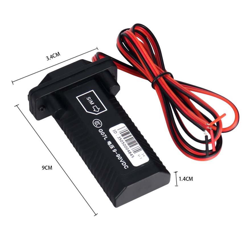
The GPS network time server is a high -tech product GPS network time server for computers, control devices, etc. in the automation system. It obtains a standard time signal from the GPS satellite....
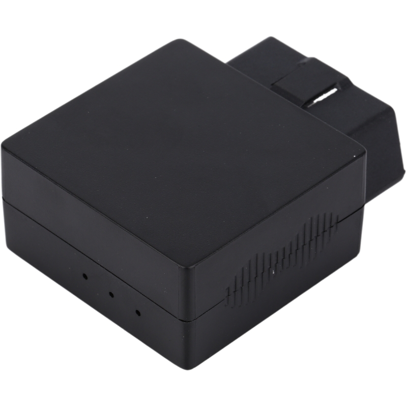
GPS Application 1. Measurement GPS technology has brought a revolution to the surveying and mapping industry. Using carrier phase differential technology (RTK), on the basis of the carrier phase ...
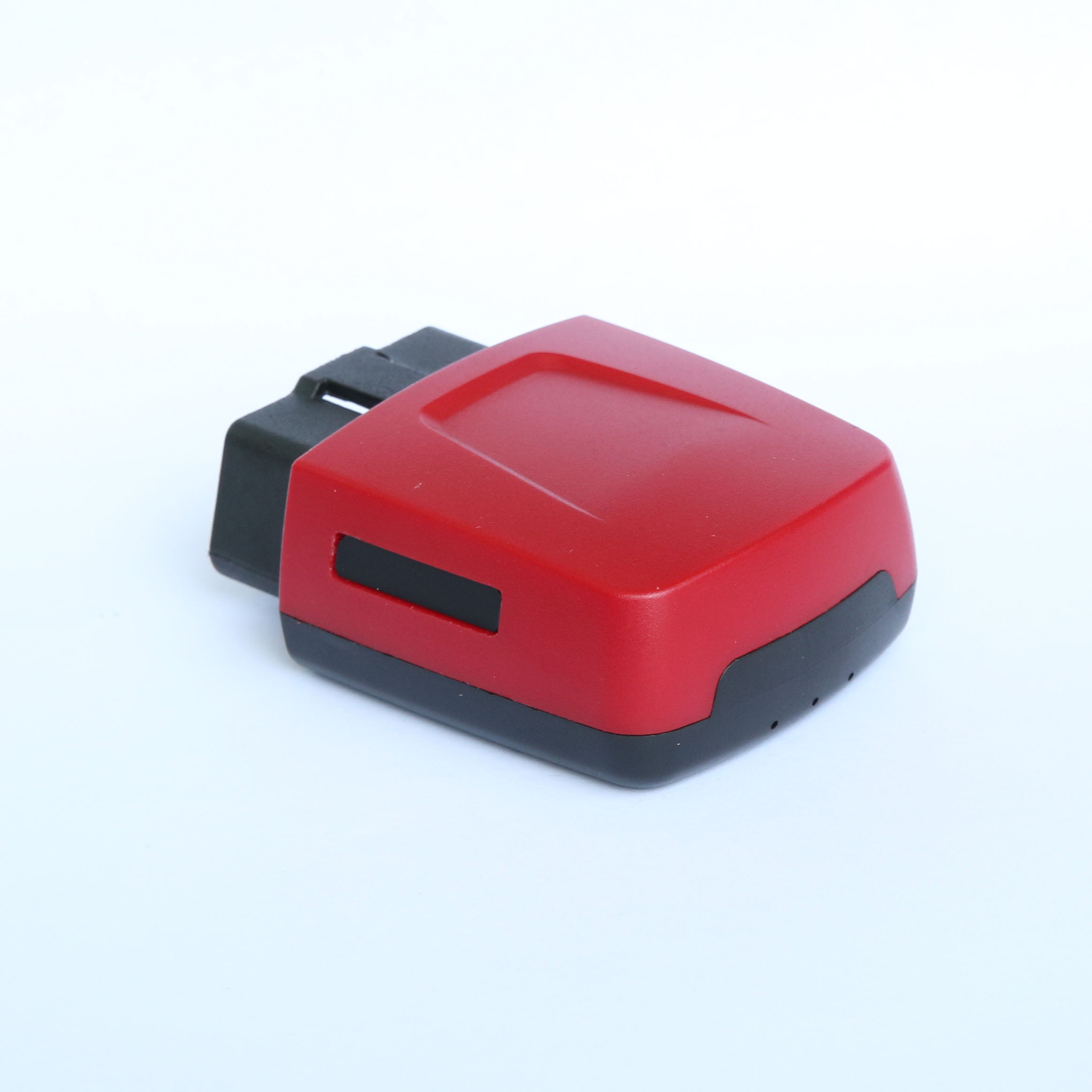
① Interface type: NTP network port, RS232/422/485 serial port, 1pps, 1ppm, 1PPH, B code, DCF77 optional; ② Time benchmark: GPS, Beidou, atomic clock, constant temperature crystal, Irig-B time ben...
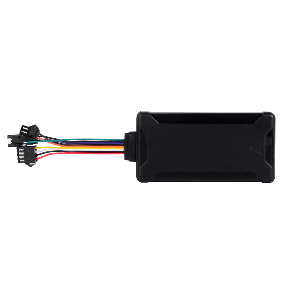
GPS was originally established for the military with precise positioning. It is still controlled by the US military. Military GPS products are mainly used to determine and track the coordinates of ...
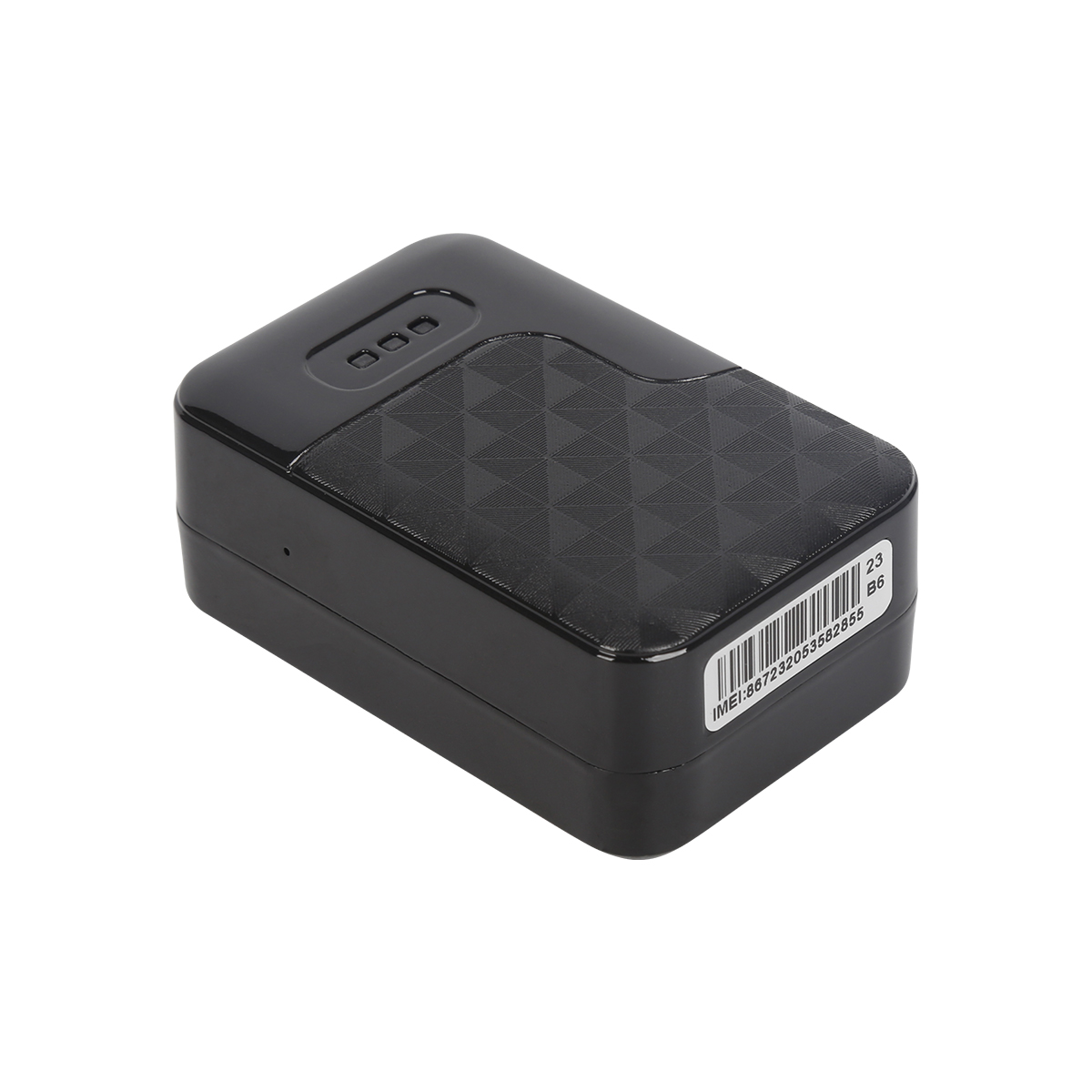
The prospects of the GPS market are very broad. The application of GPS has extended from traditional PND to mobile phones, ultra -thin computers (UMPC), and various consumer products have also beg...
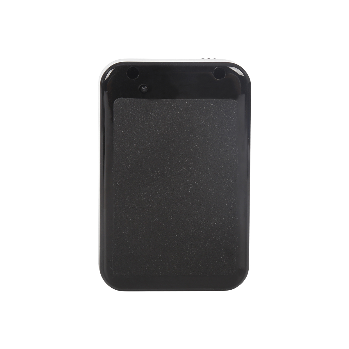
The smartphones on the market have the following different operating systems. They are: 1. Symbian operating system (UIQ, Series60, Series80, Series90) 2. Windows Mobile (Pocketpc, Smartphone) ...
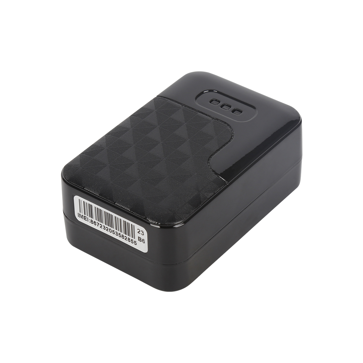
There are many ways to buy GPS. Among them, shopping malls and stores are more assured shopping venues, but the price is high. The new types of shopping channels include e -commerce websites, such...
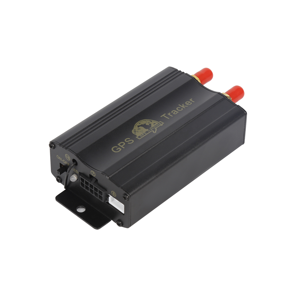
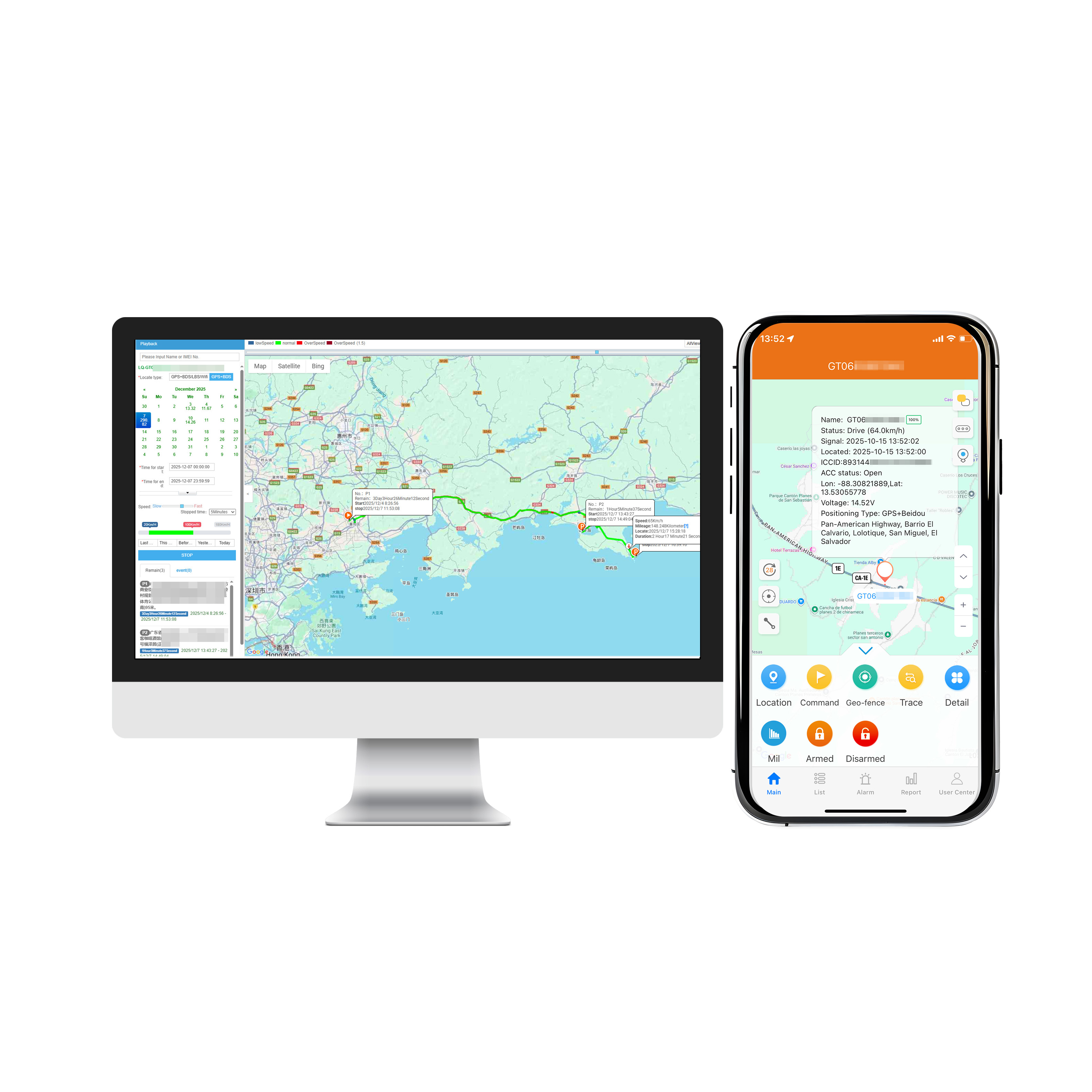
The GPS location service system is an integrated system established to strengthen the visual operation management of vehicles. Darma GPS location service system has a national patent of China. It ...
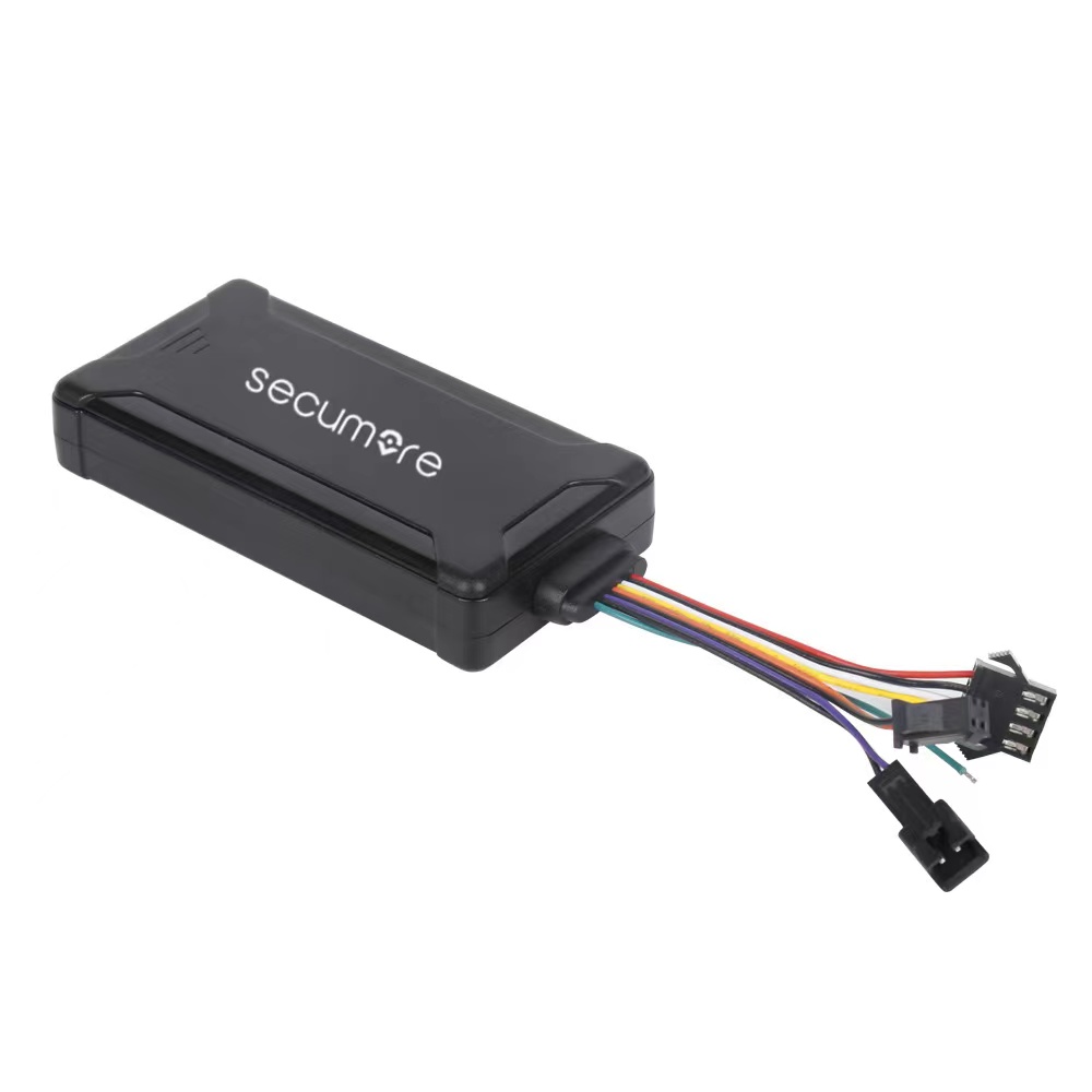
Navigation services are a large application of GPS. Integrating GPS in mobile phones can easily realize the autonomous navigation of the vehicle. Users will no longer delay their schedule because ...
alger.qin@6gpstracker.com
 Phone: +86 198 7412 0903
 Tel: +86 755 2370 2092
 WhatsApp: +86 198 7412 0903
 Add: FL5, BLDG B, Lianxing Industrial Park, JiangJun Rd, Qiuchang, HuiYang District, Huizhou, Guangdong, China
Copyright © Huizhou Cantrack Technology Co., Ltd. All Rights Reserved. Sitemap “仲达荣”商标为惠州市仲达荣科技有限公司所有


Product

About
Support
News
Contact Us







 Language












 EN
EN