
Professional high-quality GPS tracker manufacturer from China. Cantrack delivers 16-year expertise in Fleet&Assets tracking. Real-time monitoring & anti-theft for vehicles, global assets.

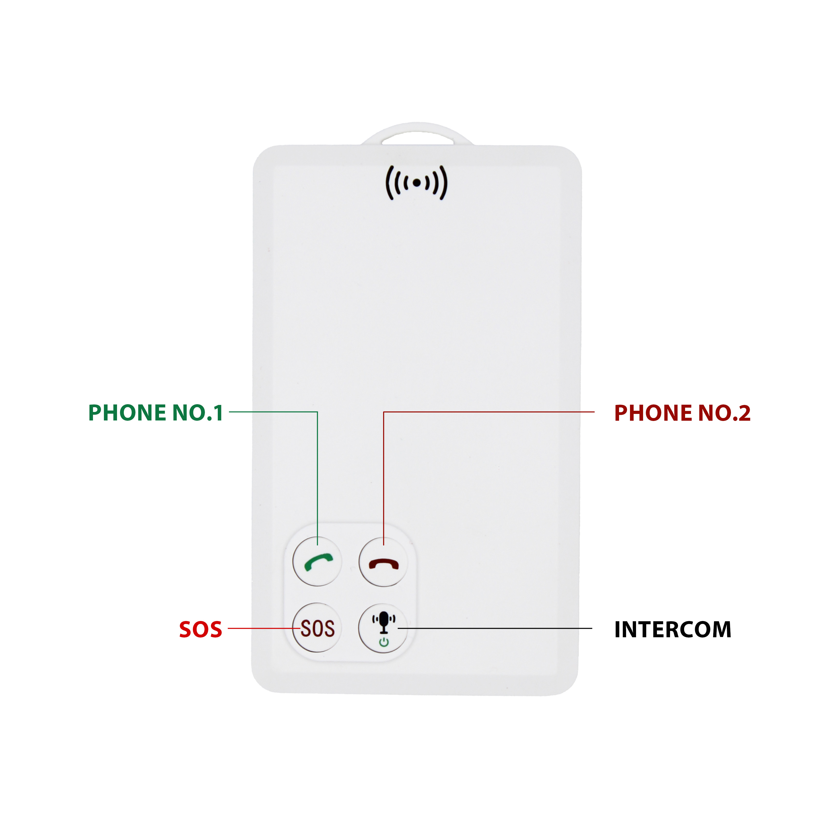
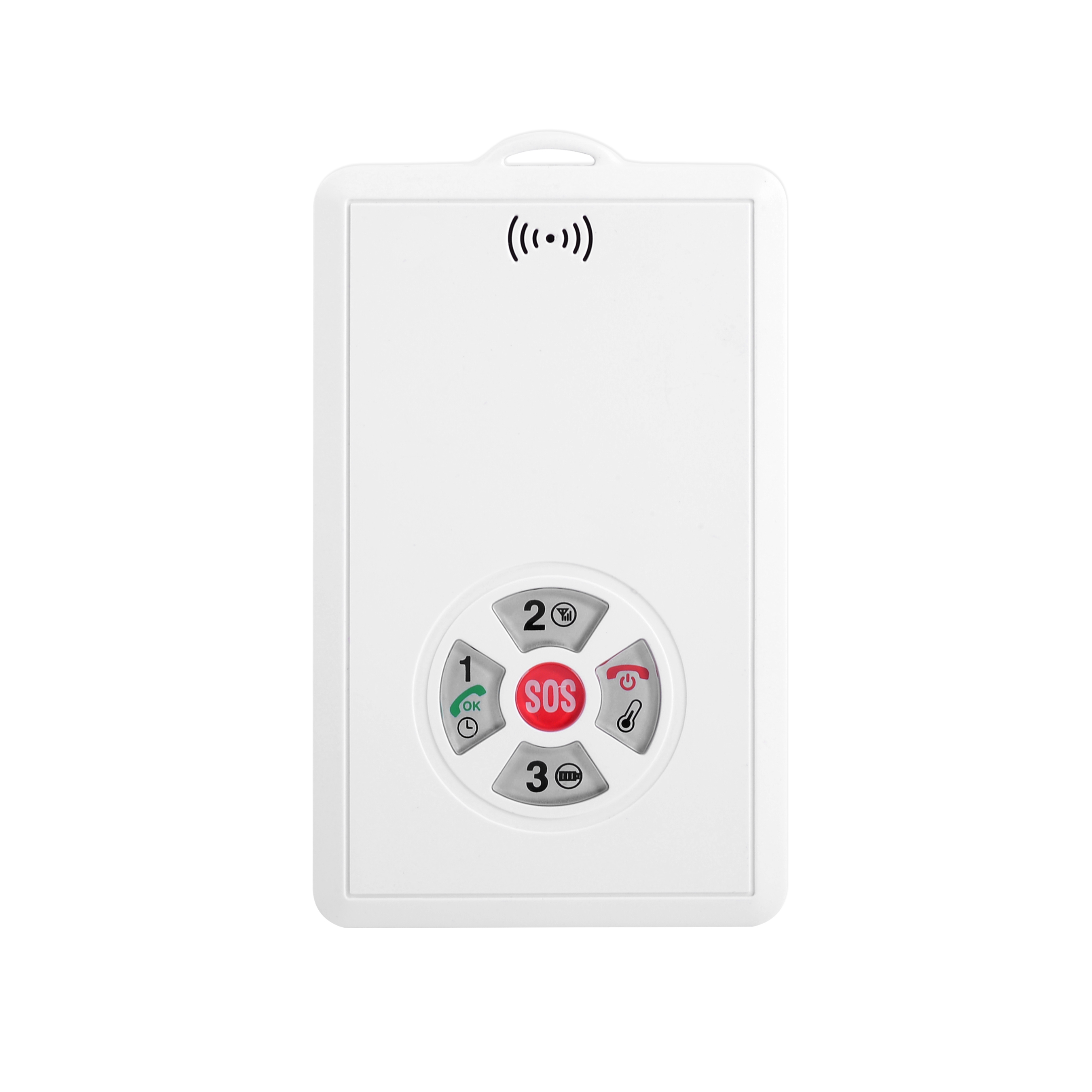
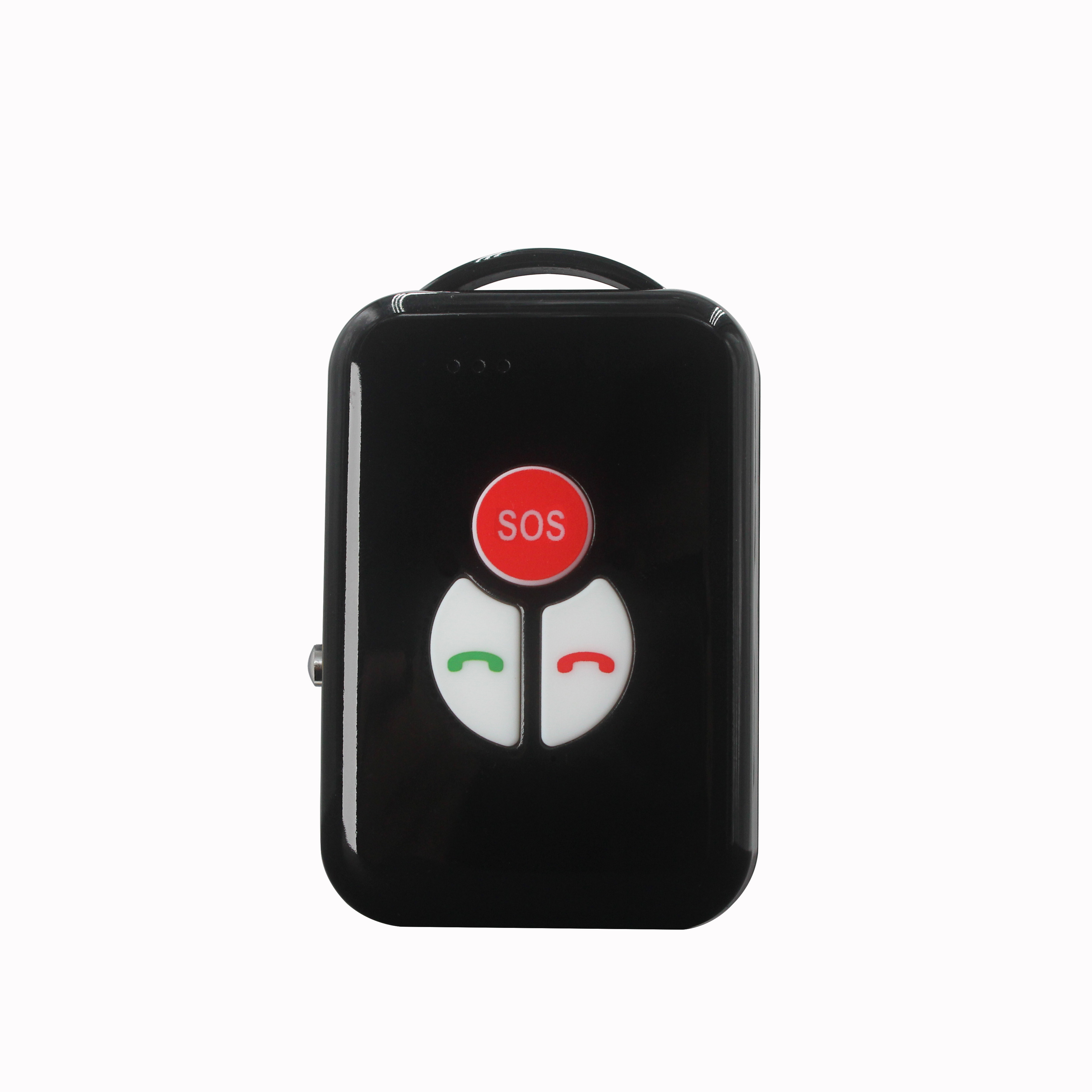
P901 is the thinnest smart walkie-talkie with real time GPS tracking function.It can be used in any place with GSM signal regardless distance limitation.We've already tested one key push-to-talk N...


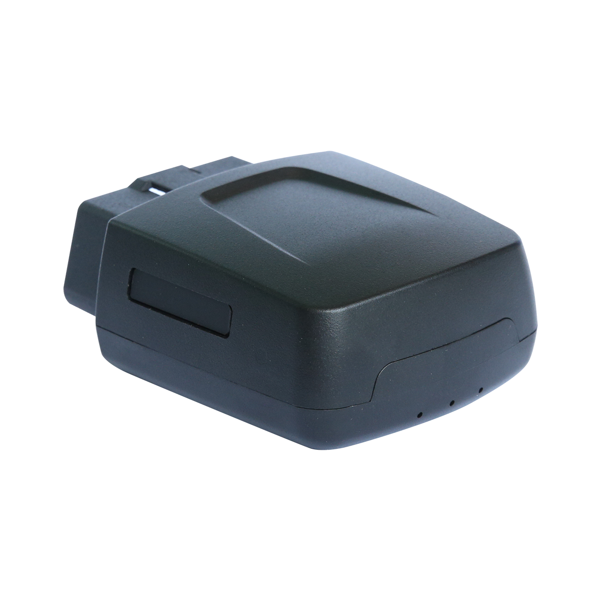
1. Laboratory testing, use satellite signal sources to simulate the real satellite signal. This test method can be reproduced and widely used. 2. Real field testing, that is, the use of real sate...
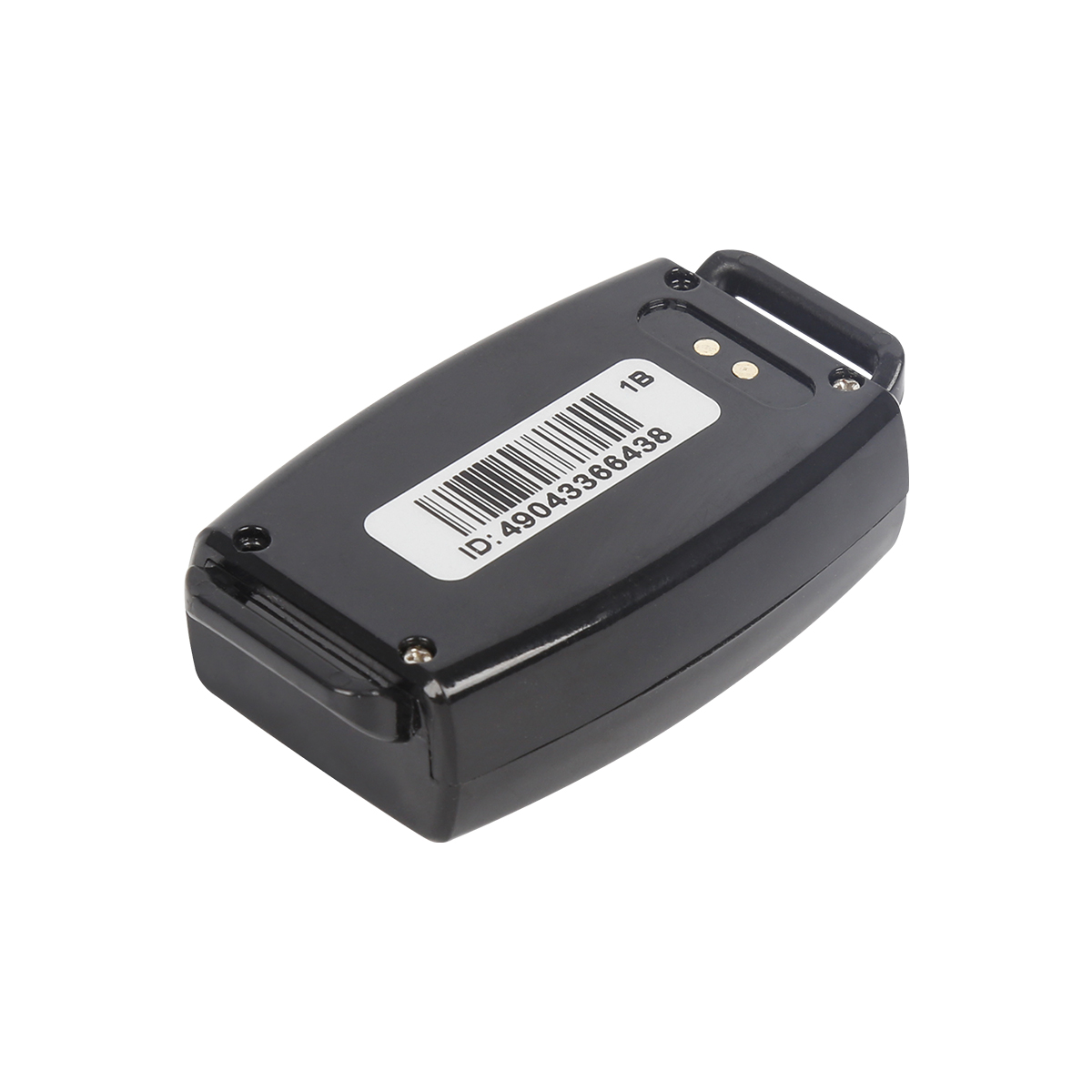
GPS navigation requires a terminal, which can be navigator, GPS mobile phone, GPS all -in -one machine, PDA+module, notebook+module, etc. These terminals can be navigated after downloading the map...
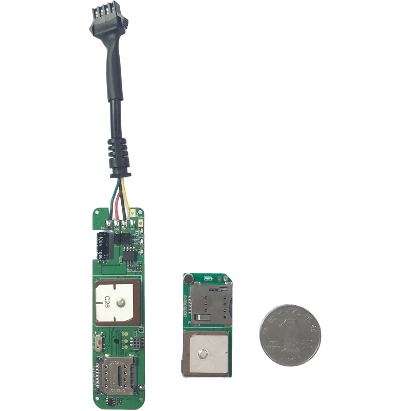
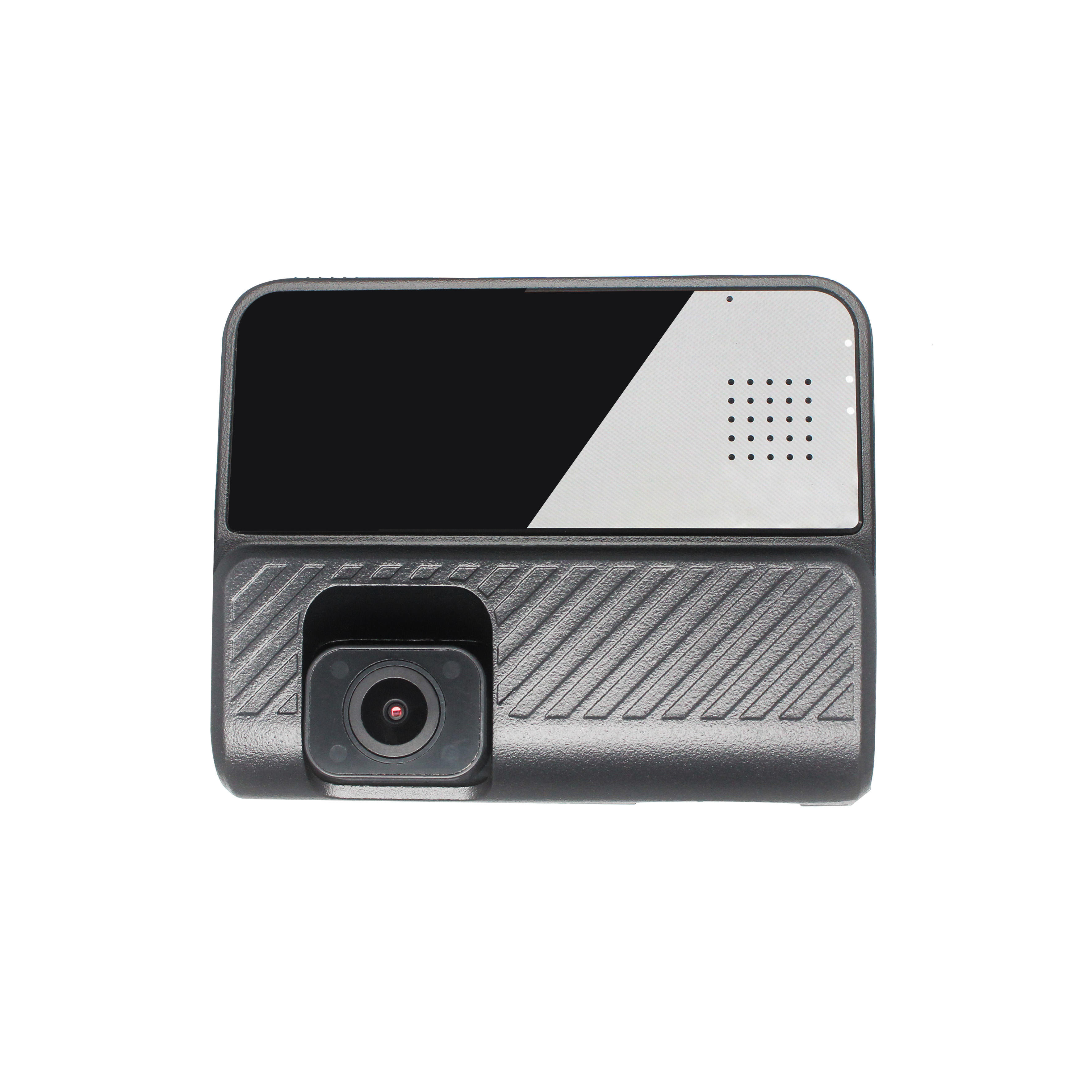
Car GPS manufacturers' information shows that the basic use of the GPS vehicle monitoring management system is: real -time positioning of vehicles, vehicle monitoring and control, vehicle sche...
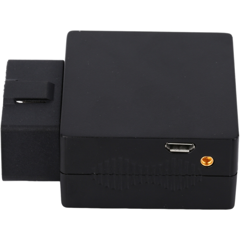
The use of GPS, especially GPS placed above the center control of the vehicle, many users are worried that they will affect the field of vision and cause the safety factor of driving. Especially w...
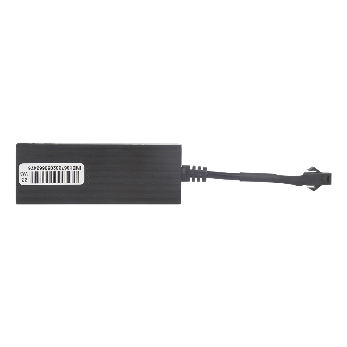
1. Hide button The possible situation of pressing the hood button Z may be that the driver pressed it as the trunk button when unconsciously. The position of this button is relatively hidden. Man...
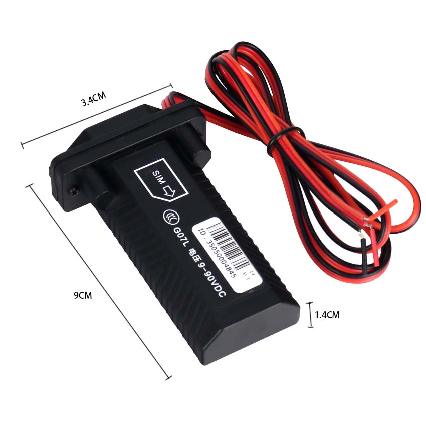
The application of GPS has been widely used, and it is becoming more and more extensive. It has almost involved all areas of the national economy, especially in recent years. It has developed to t...
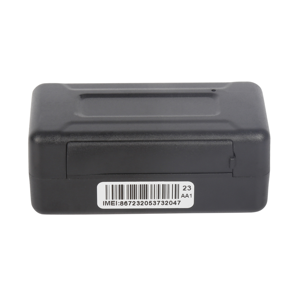
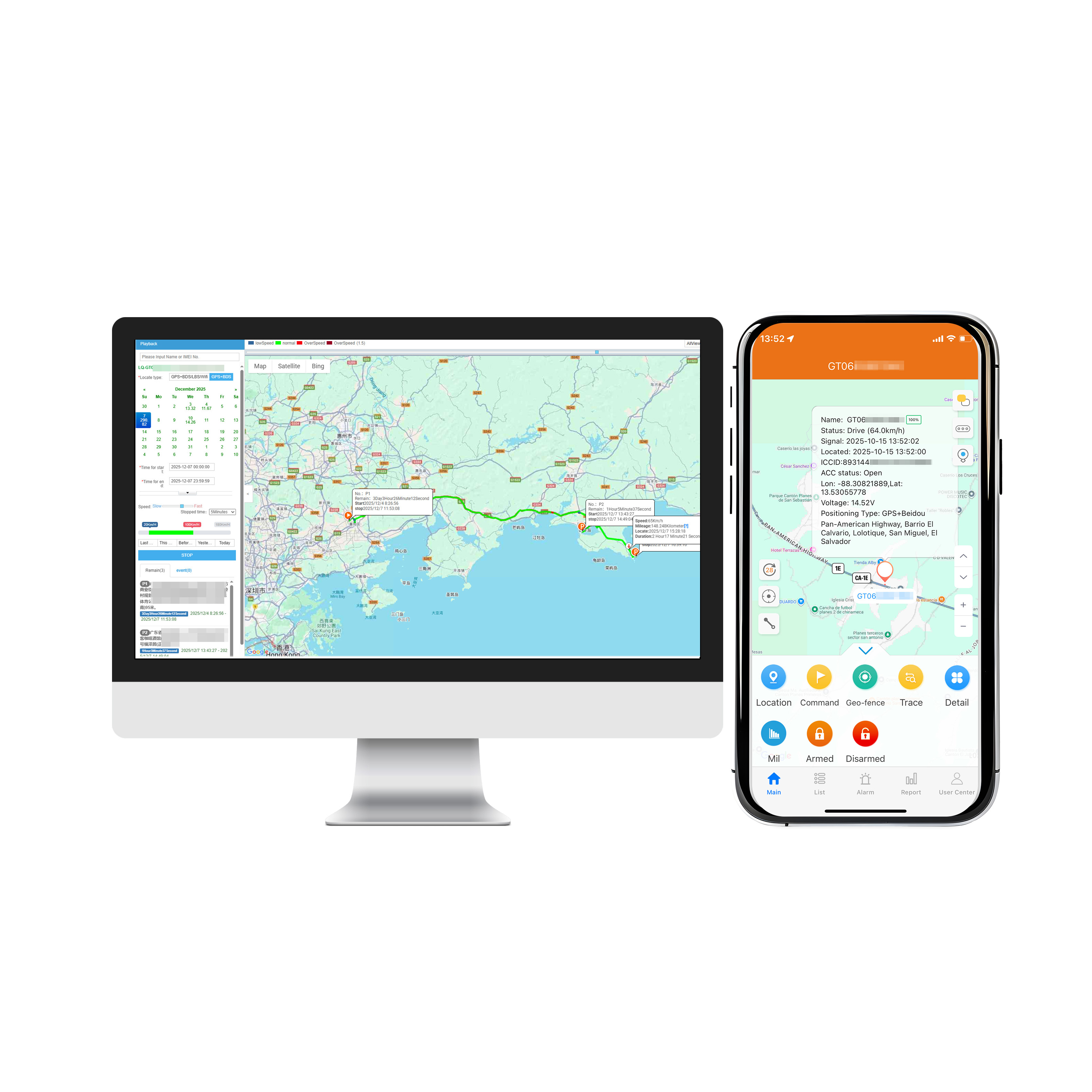
Vehicle GPS positioning management system is mainly located by the vehicle GPS, and the vehicle is scheduled to manage and track the vehicle combined with the wireless communication system. Such as a ...
1. The screen is damaged by the sharp object2. Degrees of screen recognitionThe GPS positioner manufacturer introduces how to solve the dull response of the GPS screen: To identify the reason why the ...
First of all, there is a very big difference between the two. The main function of the Beidou satellite is navigation, so to a certain extent, we go to a strange environment. If you don't know th...
alger.qin@6gpstracker.com
 Phone: +86 198 7412 0903
 Tel: +86 755 2370 2092
 WhatsApp: +86 198 7412 0903
 Add: FL5, BLDG B, Lianxing Industrial Park, JiangJun Rd, Qiuchang, HuiYang District, Huizhou, Guangdong, China
Copyright © Huizhou Cantrack Technology Co., Ltd. All Rights Reserved. Sitemap “仲达荣”商标为惠州市仲达荣科技有限公司所有


Product

About
Support
News
Contact Us







 Language












 EN
EN