
All in all, you found a point on the graph with known coordinates. Then start the GPS at hand, manually enter the coordinates of that point, and define a waypoint. Then start the GPS navigation fu

source:Industry News release time:2022-08-16 Hits: Popular:realtime gps tracker online
All in all, you found a point on the graph with known coordinates. Then start the GPS at hand, manually enter the coordinates of that point, and define a waypoint. Then start the GPS navigation function, the target is that point. At this time, the general GPS receiver will automatically calculate the straight-line distance and azimuth to that point. Note: The azimuth angle is generally the angle that true north is 0 degrees and is rotated clockwise. For example, facing north, the northwest bearing is a number between 270-360 degrees (fourth quadrant), and the northeast is a number between 0-90 degrees (first quadrant). According to the scale of the map, calculate the length of the straight-line distance from here to that point on the map, which is generally a number in centimeter units. Use a compass to take the known point as the center, and draw a circle with such a long distance as the radius. Then draw a vertical line (parallel to the nearest known meridian) through this known point. This way, our current position is on the circle. According to the theorem that the sum of the interior angles of a triangle is equal to 180 degrees, and we only know that what we are going to operate is a right triangle, according to the azimuth angle that has been measured, the angle between the known point and the meridian can be obtained anyway. And the straight-line distance we know is the hypotenuse of the triangle, according to the trigonometric function formula:
hypotenuse X sin(angle) = vertical side or hypotenuse X cos(angle) = horizontal side
Find any vertical side of a triangle. On the map, use a ruler to draw two right-angled sides according to the length, and the point where the circle intersects is where you are now. As long as your satellite signal error is not large and the map is serious, the calculation error is generally quite small. Of course, I hope you have a calculator that calculates trigonometric functions, or you have a similar function calculator installed in your phone. This will find your position on the map. A simpler way is to draw a straight line directly according to the angle between the known points, and the point where it intersects the circle is the current position. However, the error of this labeling is larger than that of the previous calculation method, because the angle measurement of the protractor is generally not very accurate.
Read recommendations:
obd2 gps tracker verizon wholesaler
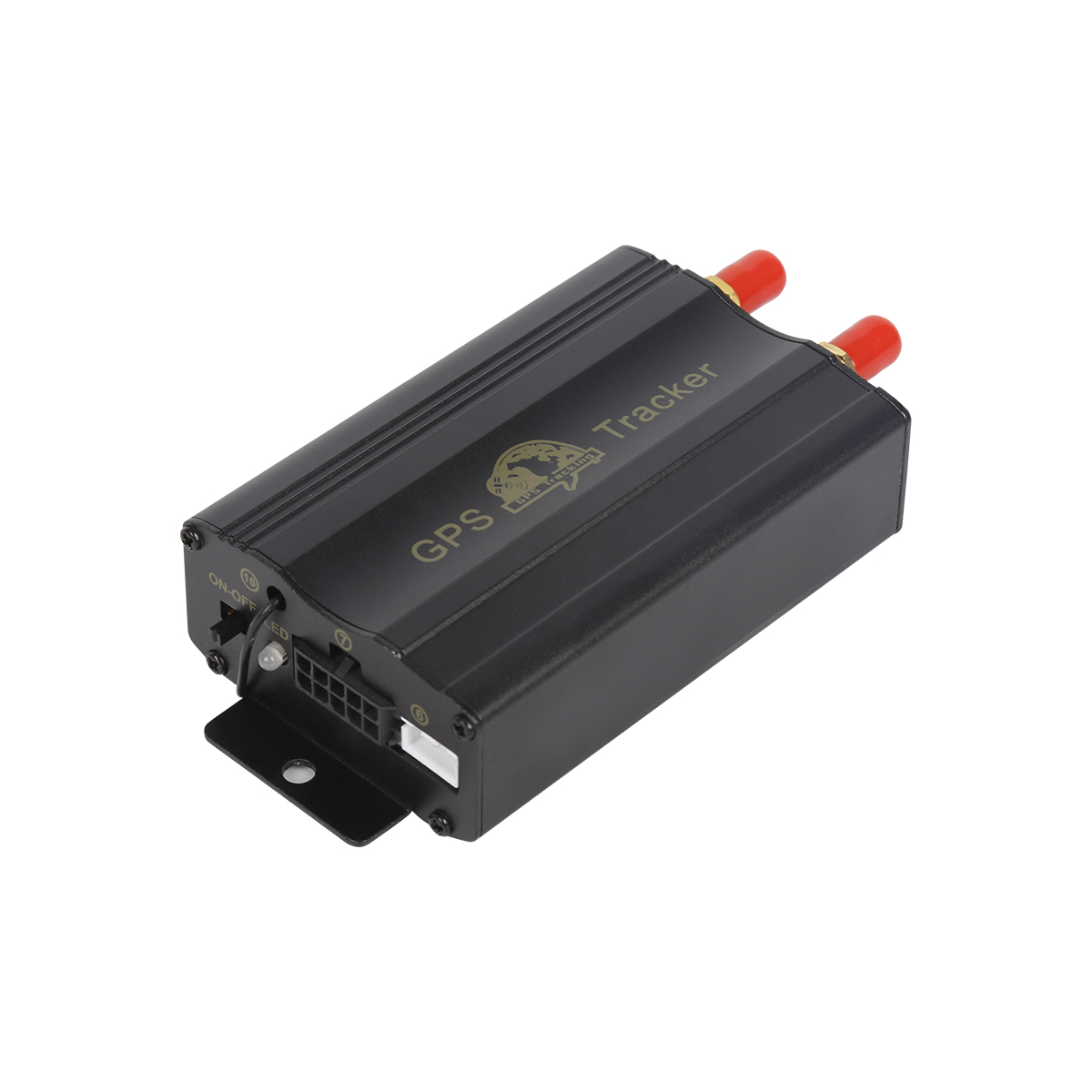
GPS reference station subsystem.Magnetic gps tracker supplier
Last article:The correct way to use a GPS receiver in the field
Next article:Global GPS Receiver
Related Information
gps tracker auto price
2023-04-11fleet gps trackers sales
2023-04-23Gps speed limiter Vendor
2023-04-23simple gps tracking distributors
2023-04-23van tracker webfleet solutions
2023-03-16gps tracker for bike
2023-03-16Pet GPS Tracker manufacture
2023-03-16simple gps tracking Manufacturing
2023-04-23gps vehicle tracker Vendor
2023-04-23GPS Tracker for vehicles Vendor
2023-03-16GF70L-Solar Magnetic Asset GPS Tracker
2026-04-29G200NY -Cow/Camel GPS Tracker
2022-06-21GF70L-Solar Magnetic Asset GPS Tracker
2026-04-2910000mAh Magnetic Asset GPS Tracker
2026-04-293 Years Disposable Asset GPS Tracker
2025-03-31Introduction to GPS Platform
2022-11-09GPS performance indicators
2022-08-26The application of GPS in car navigation and traffic management
2023-06-02GPS mobile phone positioning principle
2022-10-21What car GPS positioner should be installed with a mortgage car?plug & play Obd gps tracker Manu
2023-03-25Domestic product function
2022-11-01What are the components of GPS
2022-09-23What are the differences between car navigation and mobile phone navigation?gps tracker with magnet
2023-04-11GPS establishes network connection
2022-10-19Guidelines for purchasing mortgaged cars - Use of GPS anti-theft devices.personal gps tracker wholes
2023-09-12Whether GPS positioning is GPS navigation.obd-II port gps tracker manufacture
2023-05-09Application of GPS
2022-09-24mini gps tracker.Installation and usage methods for automotive GPS locators
2023-11-08GPS indoor positioning technology
2022-08-12Talk about the advantage of the use of pet smart positioner.realtime gps tracker online manufacture
2023-03-10Related Articles

A suitable global GPS tracker manufacturer should provide multi-band 4G LTE Cat 1 devices, confirm network compatibility for the destination market, and support GPS tracking platforms, APIs, OEM/O...

A reliable GPS tracker manufacturer should provide stable 4G real-time tracking, accurate multi-mode positioning, a wide range of device types, fleet and asset management functions, OEM/ODM customizat...

Firstly, let's take a look at why GPS locators are inaccurate and have large errors. GPS positioning accuracy, generally within 10 meters if obtaining Beidou or GPS signals; If it is a signal...

GPS differential positioning technology is an important method to improve the positioning accuracy of the Global Positioning System (GPS). In traditional GPS positioning, satellite signals are af...

Vehicle GPS Navigation System Vehicle mounted GPS navigation system is an indispensable and important device in modern automobiles, providing drivers with convenient and accurate navigation service...

Handheld GPS positioning device is a portable and practical positioning tool widely used in outdoor exploration, geological exploration, forestry investigation and other fields. Handheld GPS posi...
alger.qin@6gpstracker.com
 Phone: +86 198 7412 0903
 Tel: +86 755 2370 2092
 WhatsApp: +86 198 7412 0903
 Add: FL5, BLDG B, Lianxing Industrial Park, JiangJun Rd, Qiuchang, HuiYang District, Huizhou, Guangdong, China
Copyright © Huizhou Cantrack Technology Co., Ltd. All Rights Reserved. Sitemap “仲达荣”商标为惠州市仲达荣科技有限公司所有


Product

About
Support
News
Contact Us


 Language


 EN
EN

