
Professional high-quality GPS tracker manufacturer from China. Cantrack delivers 16-year expertise in Fleet&Assets tracking. Real-time monitoring & anti-theft for vehicles, global assets.

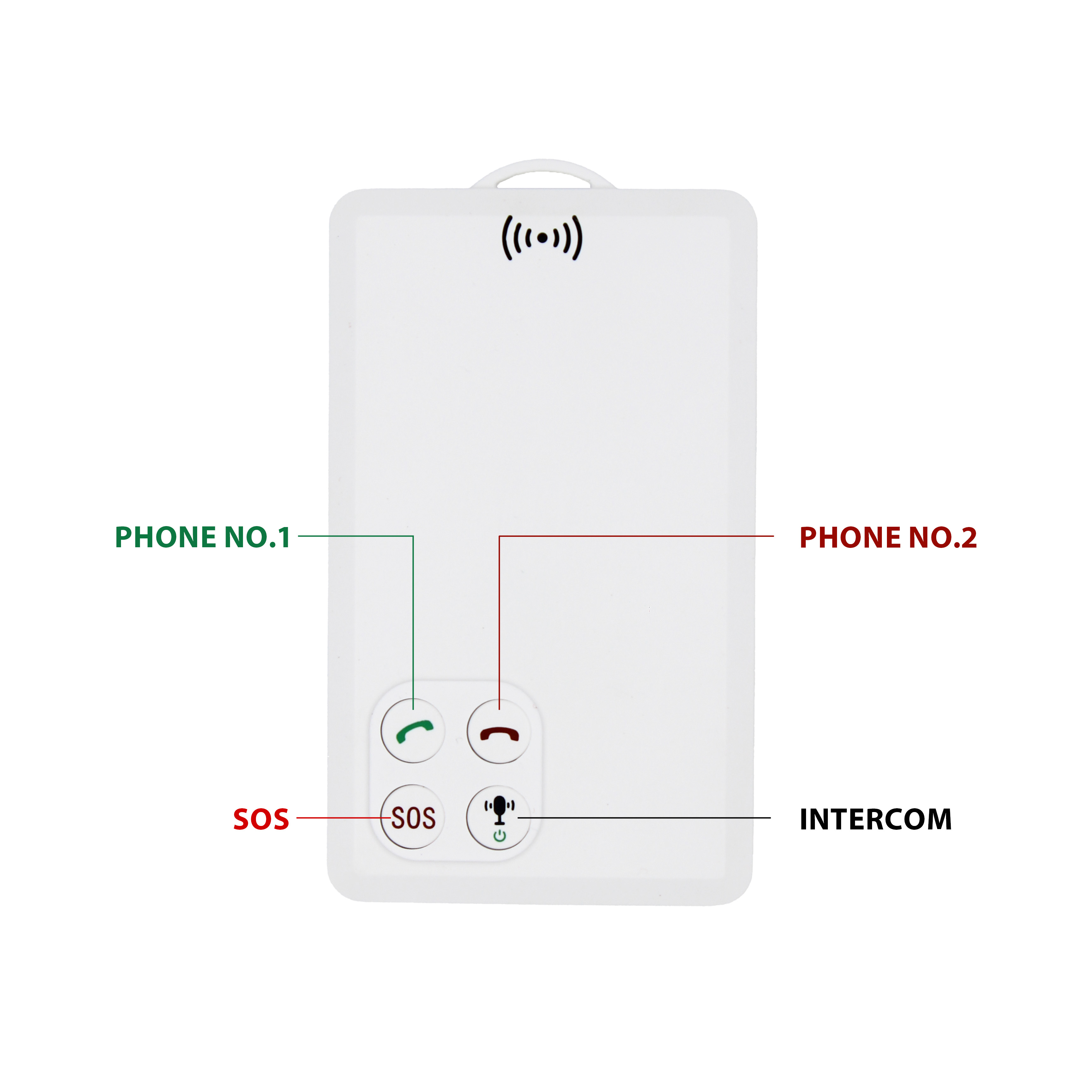
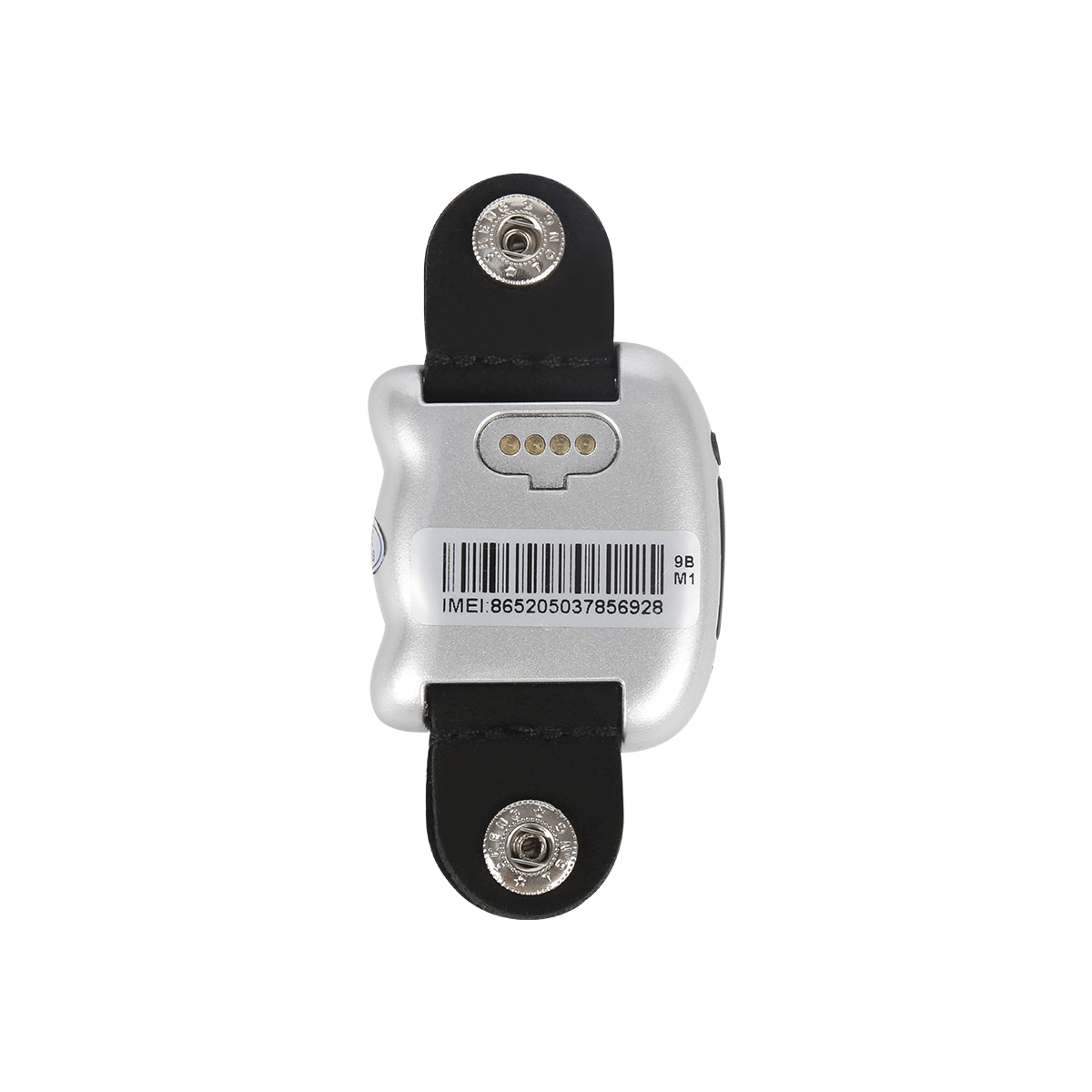
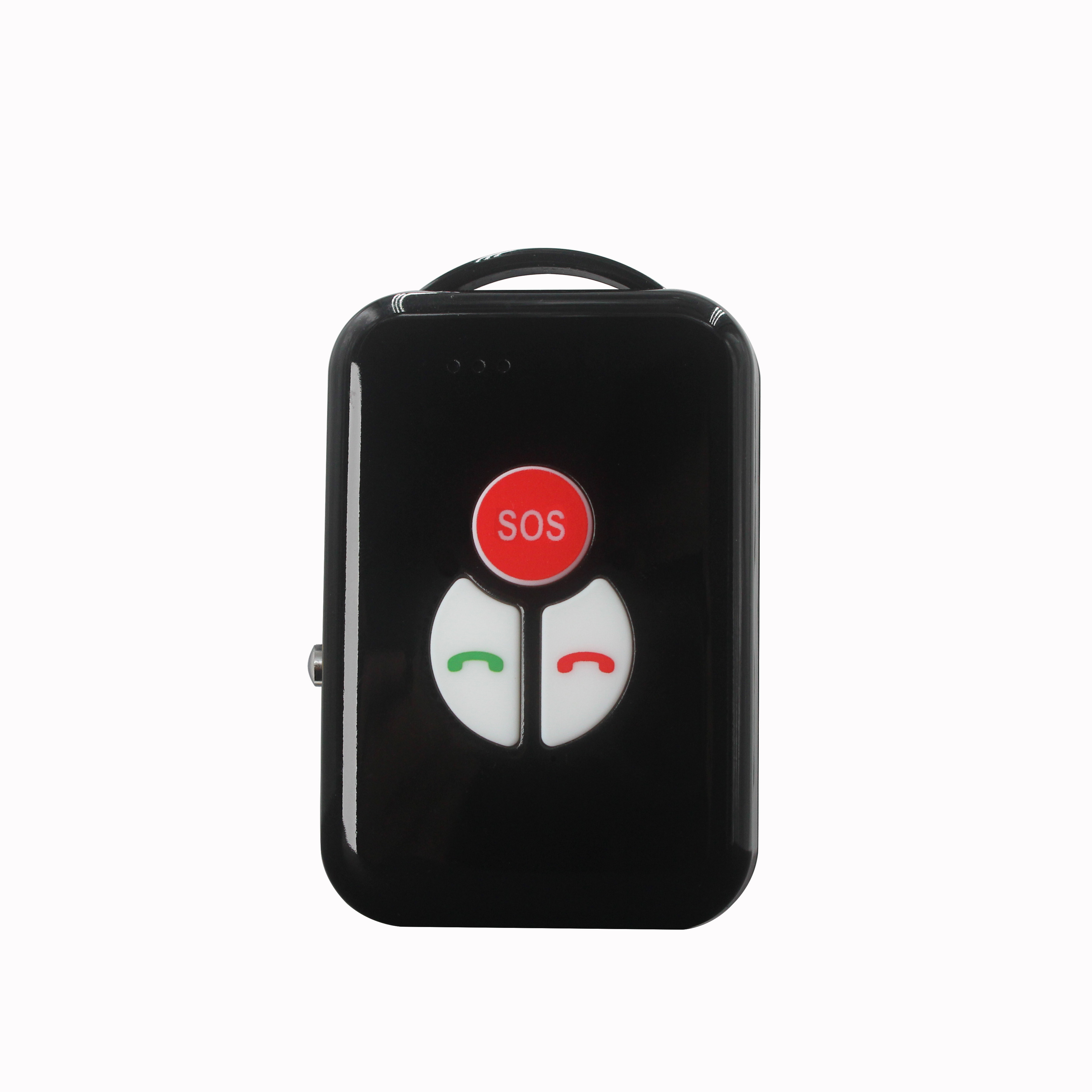
P901 is the thinnest smart walkie-talkie with real time GPS tracking function.It can be used in any place with GSM signal regardless distance limitation.We've already tested one key push-to-talk N...


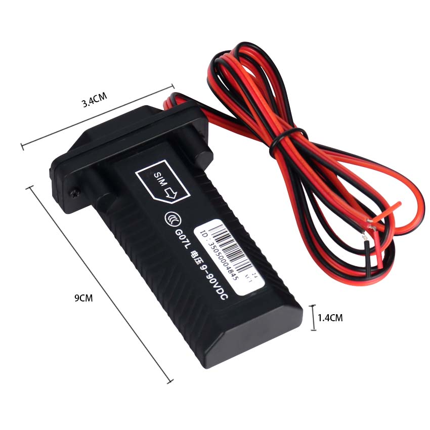
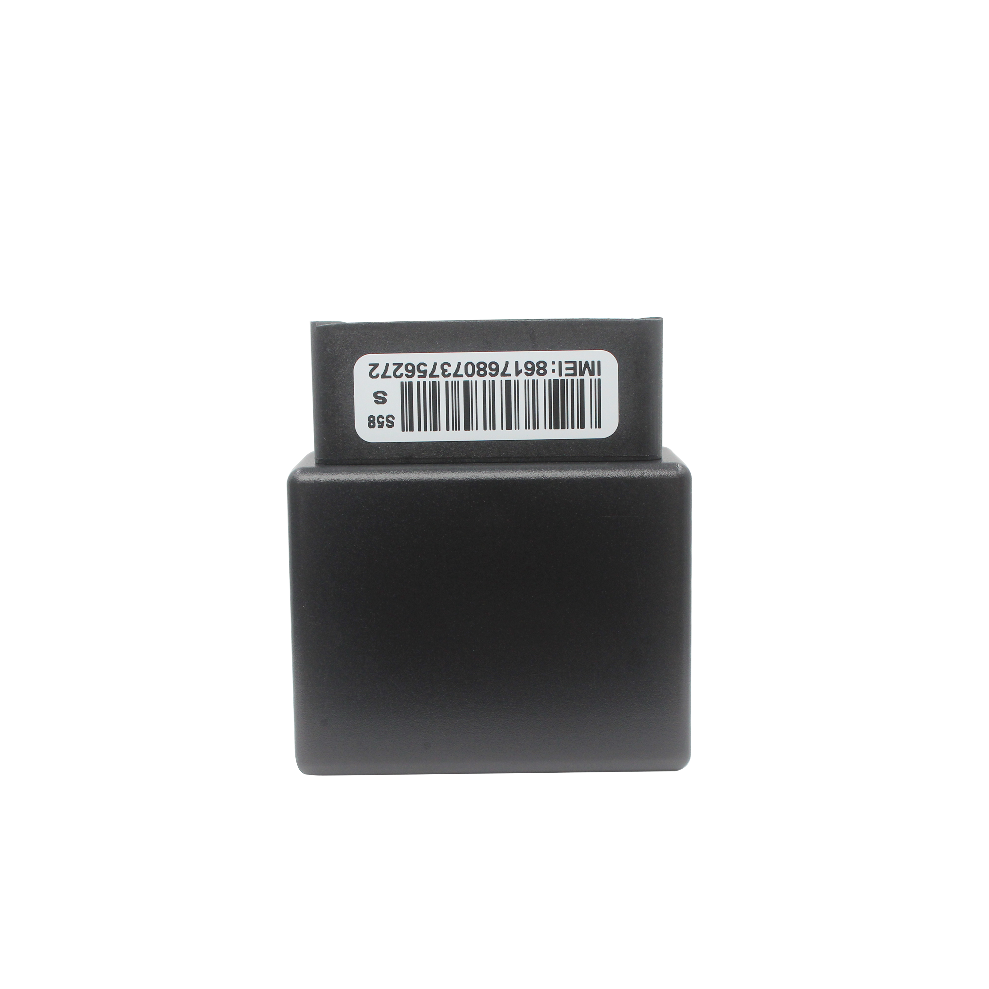
A. IP and port number settings The remote setting of IP and port numbers through SMS instructions is mainly aimed at the operation of installing and using F300 devices for the first time. The pur...
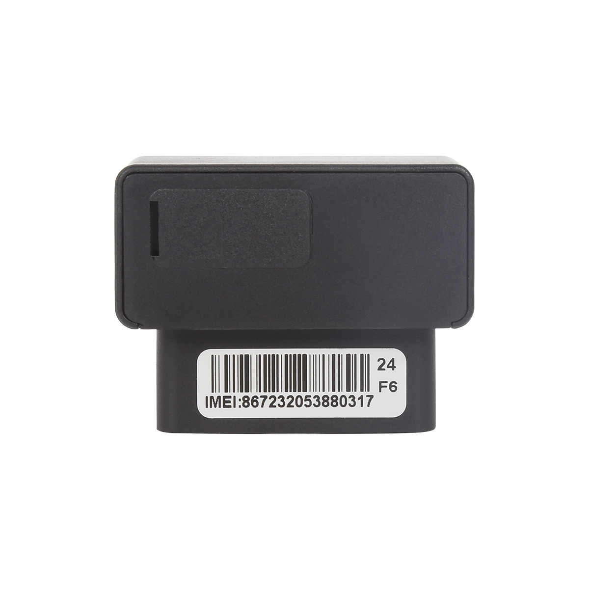
Due to the unique installation location on the vehicle, it is recommended to install it in the following locations. While ensuring installation requirements, it is important to pay attention to th...
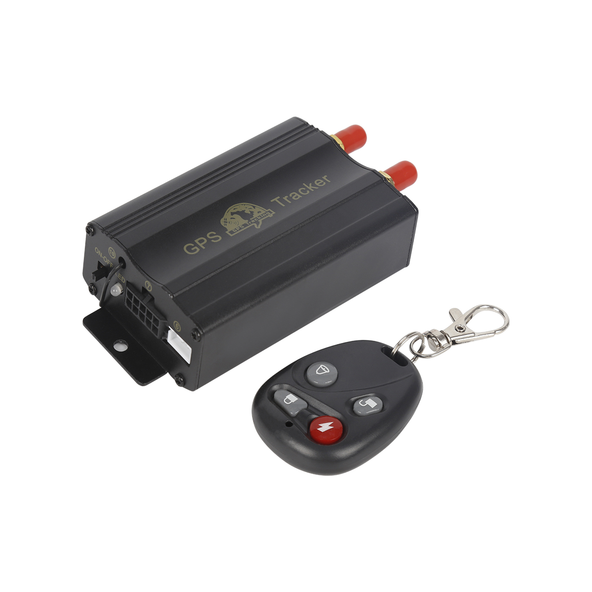
Positive pole of the power supply (red): The installation of the positive pole of the power supply usually needs to be connected to the positive pole of the battery or the main power input line of...
A. Please set the SIM card service password in a timely manner before installing the SIM card. B. The implementation of various functions of F300 requires the SIM card to support SMS SMS and GPRS...
Application of GPS 1. Measurement GPS technology has brought a revolution to the surveying and mapping industry. By using carrier phase difference technology (RTK), on the basis of real-time proc...
GPS network Time server is a high-tech product that calibrates the time of computers, control devices, etc. in the automation system. GPS network Time server obtains standard time signals from GPS...
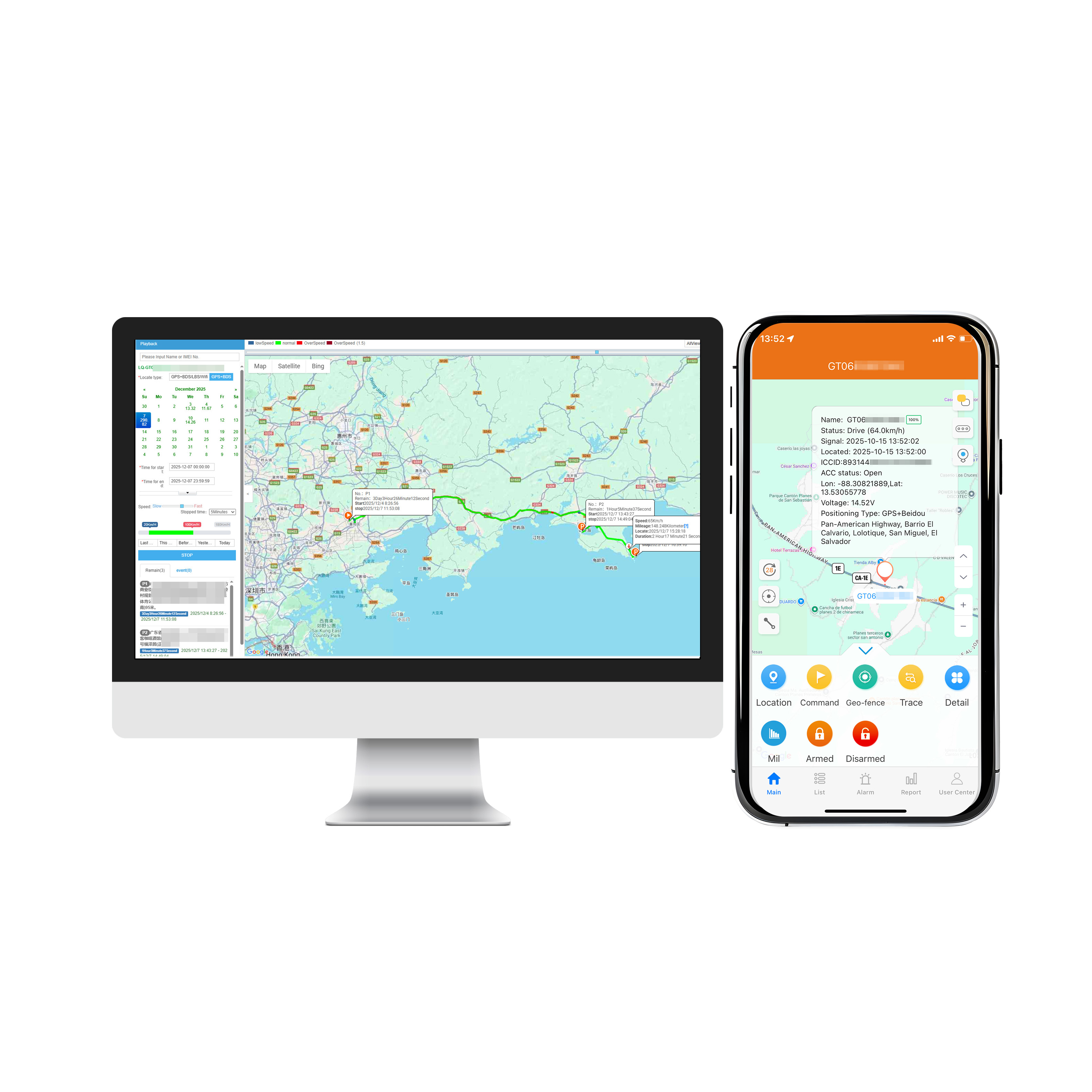
Through GPS addressing and positioning software, you can quickly track and locate your current location and display a clear map. If you are on a business trip or visiting from other places, you no...
Classification of Automotive navigation system Vehicle Satellite navigation can be divided into built-in and external types according to the installation mode. The built-in vehicle mounted Satell...
Navigation function After the user marks any two points on the car GPS navigation system, the navigation system will automatically design the best route for the car owner based on the current pos...
alger.qin@6gpstracker.com
 Phone: +86 198 7412 0903
 Tel: +86 755 2370 2092
 WhatsApp: +86 198 7412 0903
 Add: FL5, BLDG B, Lianxing Industrial Park, JiangJun Rd, Qiuchang, HuiYang District, Huizhou, Guangdong, China
Copyright © Huizhou Cantrack Technology Co., Ltd. All Rights Reserved. Sitemap “仲达荣”商标为惠州市仲达荣科技有限公司所有


Product

About
Support
News
Contact Us







 Language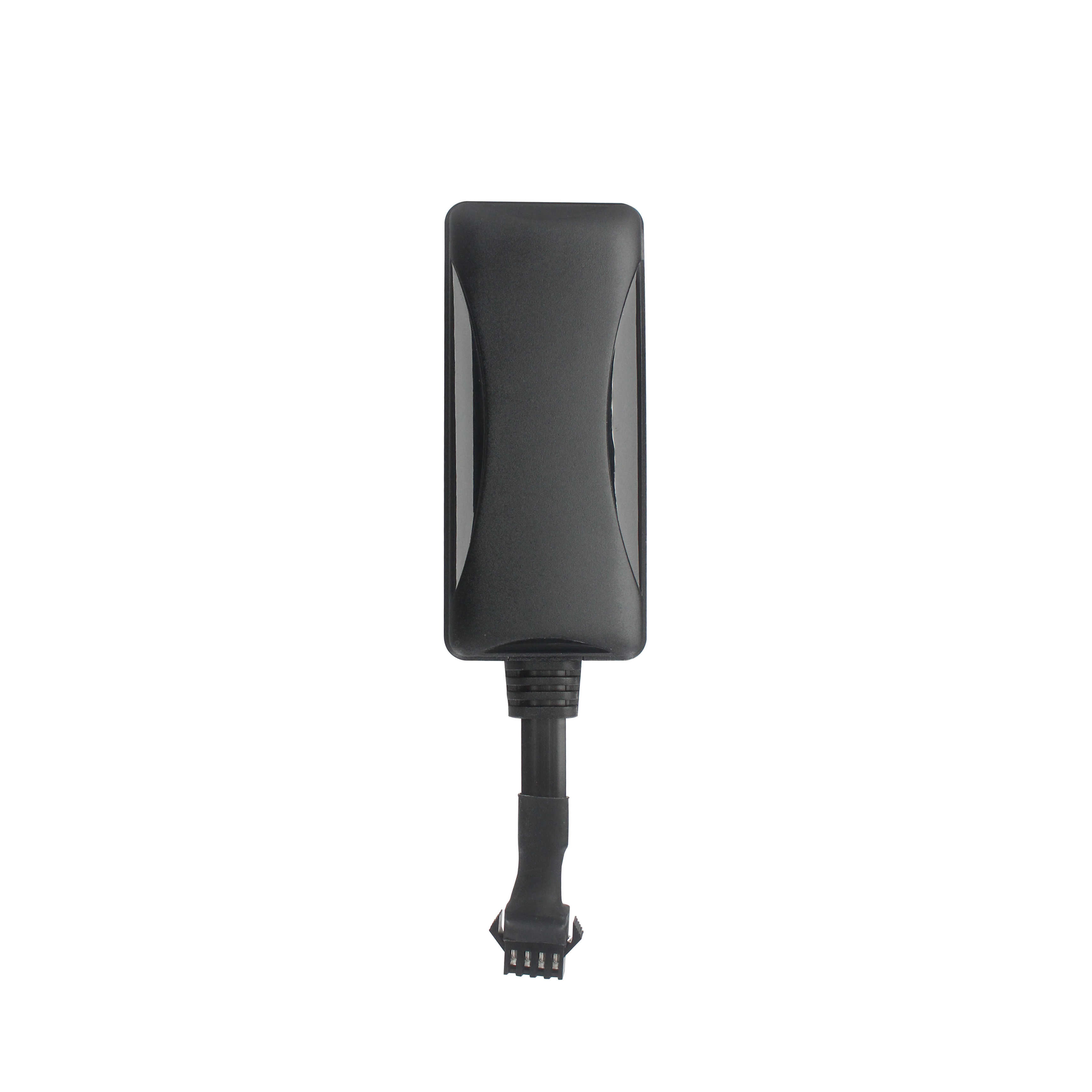












 EN
EN