
Professional high-quality GPS tracker manufacturer from China. Cantrack delivers 16-year expertise in Fleet&Assets tracking. Real-time monitoring & anti-theft for vehicles, global assets.

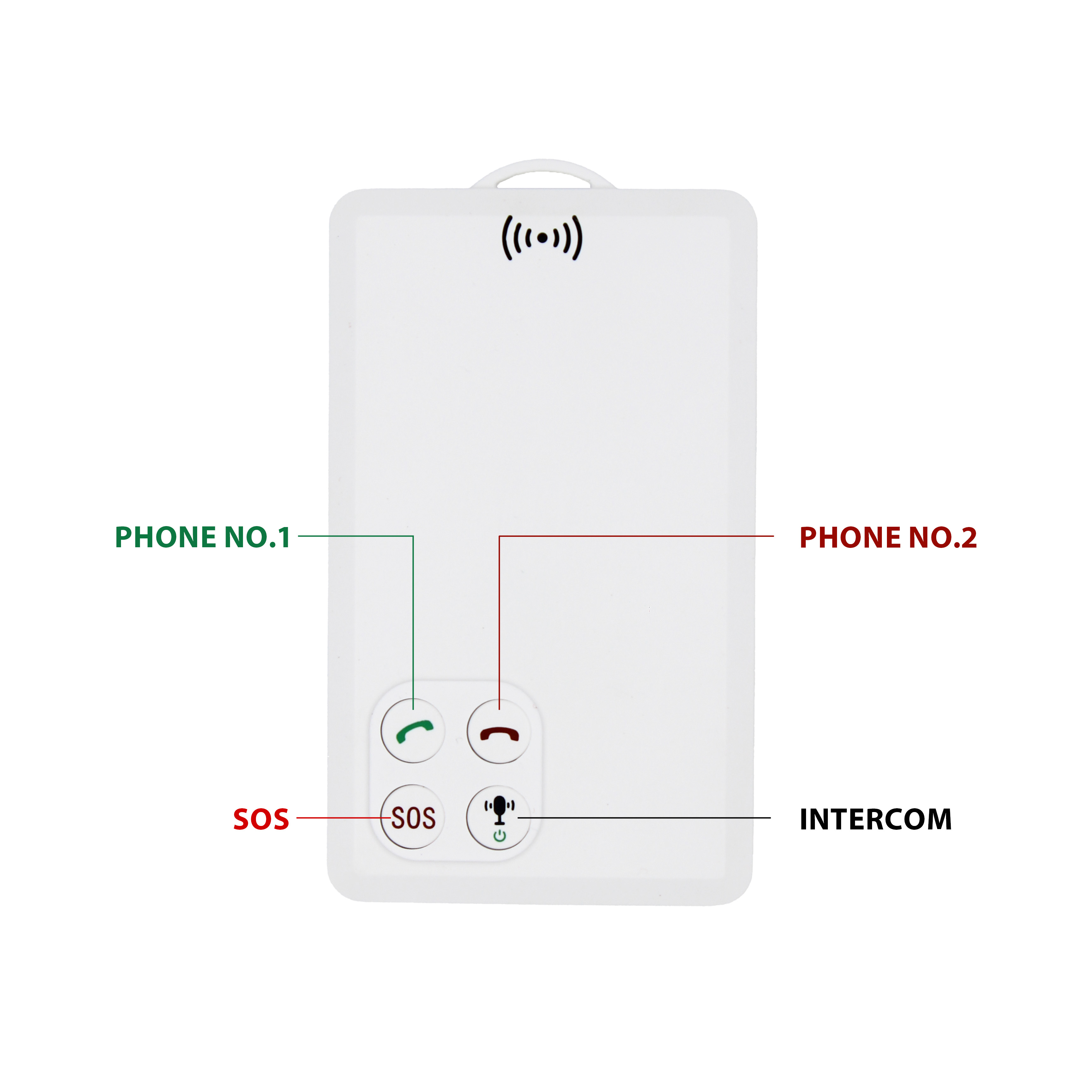
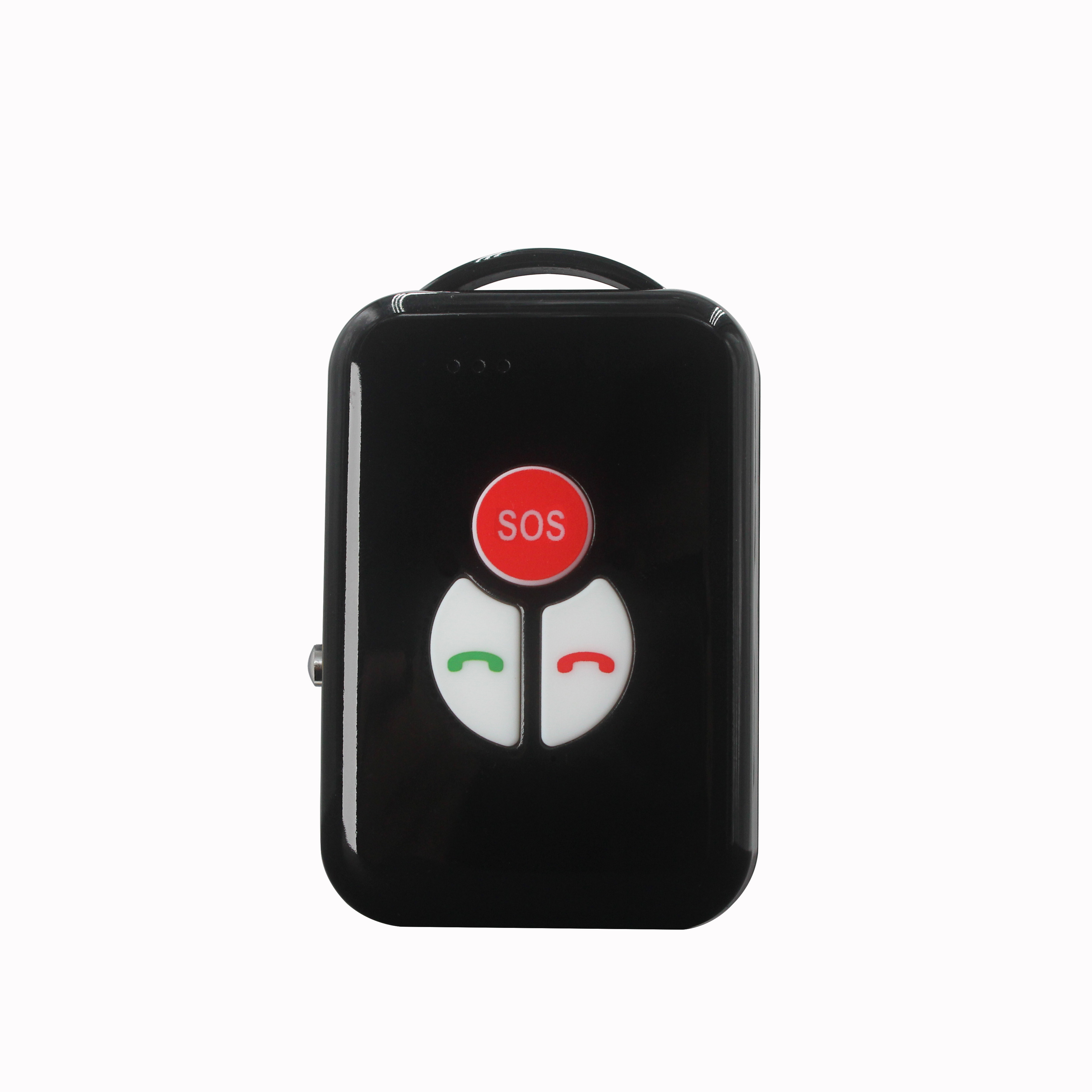
P901 is the thinnest smart walkie-talkie with real time GPS tracking function.It can be used in any place with GSM signal regardless distance limitation.We've already tested one key push-to-talk N...


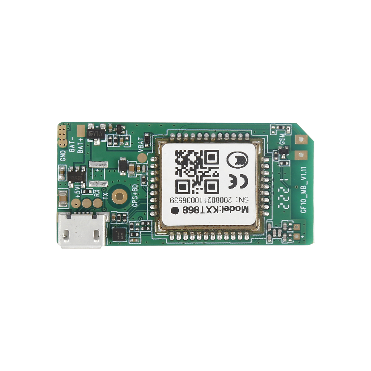
High precision time benchmarks have become one of the basic guarantee platforms in fields such as communication, power, broadcasting and television, security monitoring, and industrial control. Th...
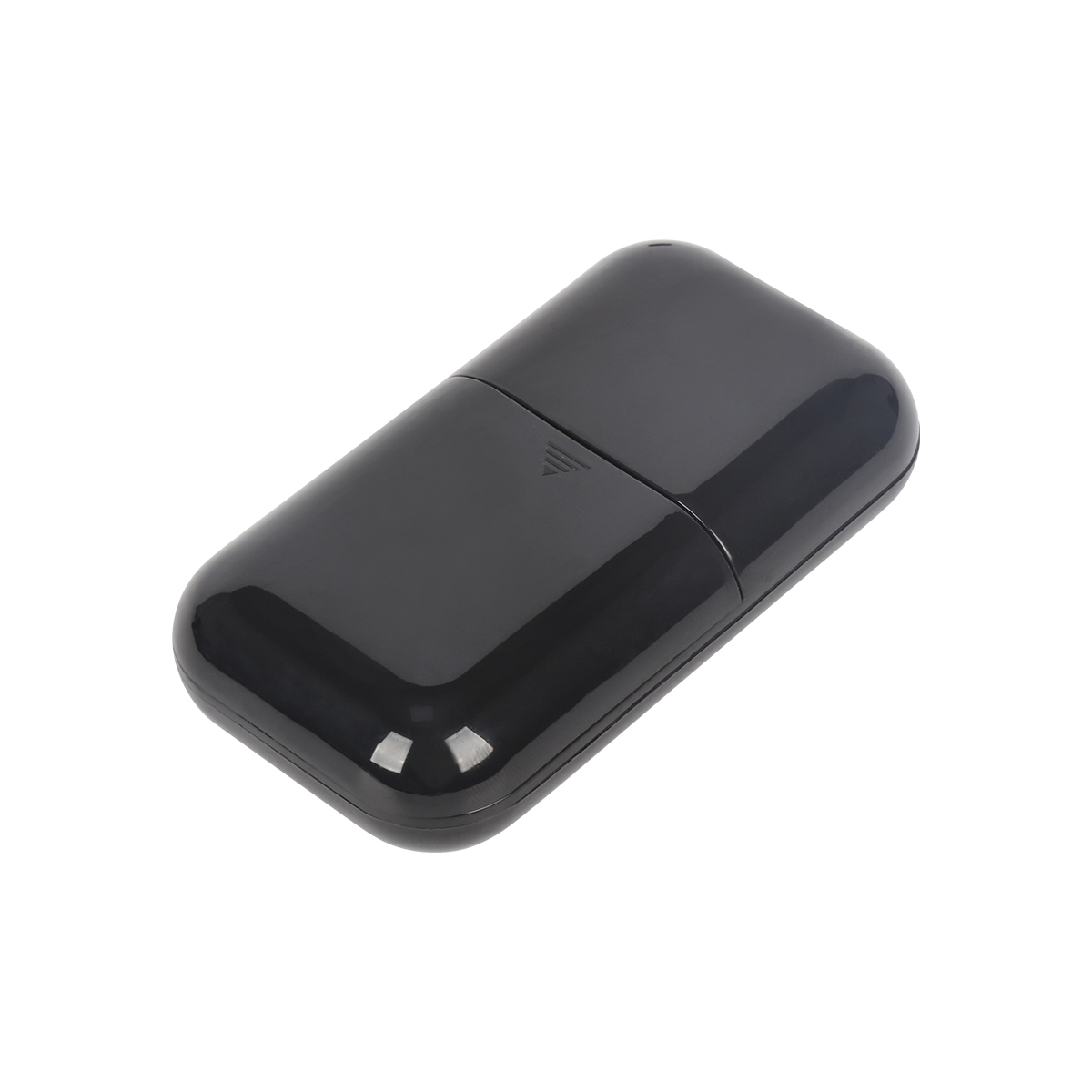
GPS clock is also a basic time service application product developed based on the latest high-precision GPS positioning and time service module. Capable of outputting time information formats that...
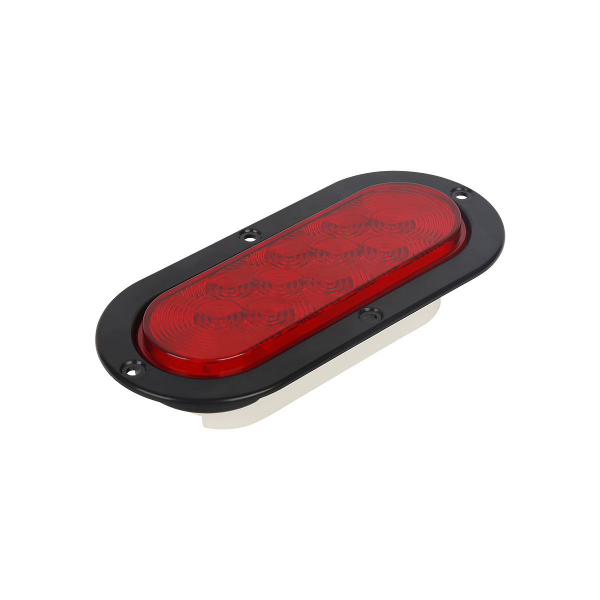
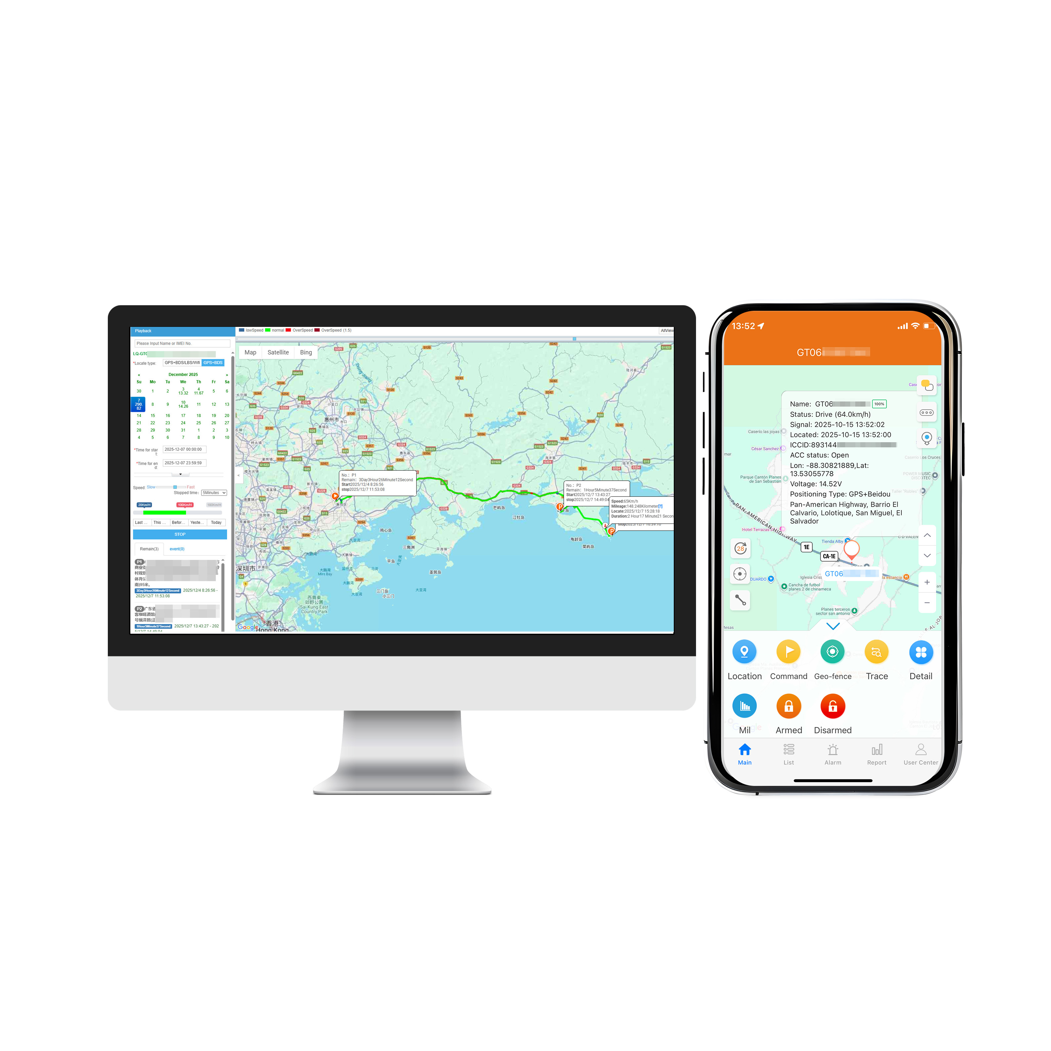
The product of "GPS autonomous navigation+backend center monitoring+communication+internet access" is based on wireless mobile communication networks, combined with professional GPS geog...
Global Mobile Positioning System (GPS) refers to a GIS system supported by the mobile internet and terminated by GPS smartphones. It is a new technological hotspot after desktop GIS and WEBGIS. Mo...
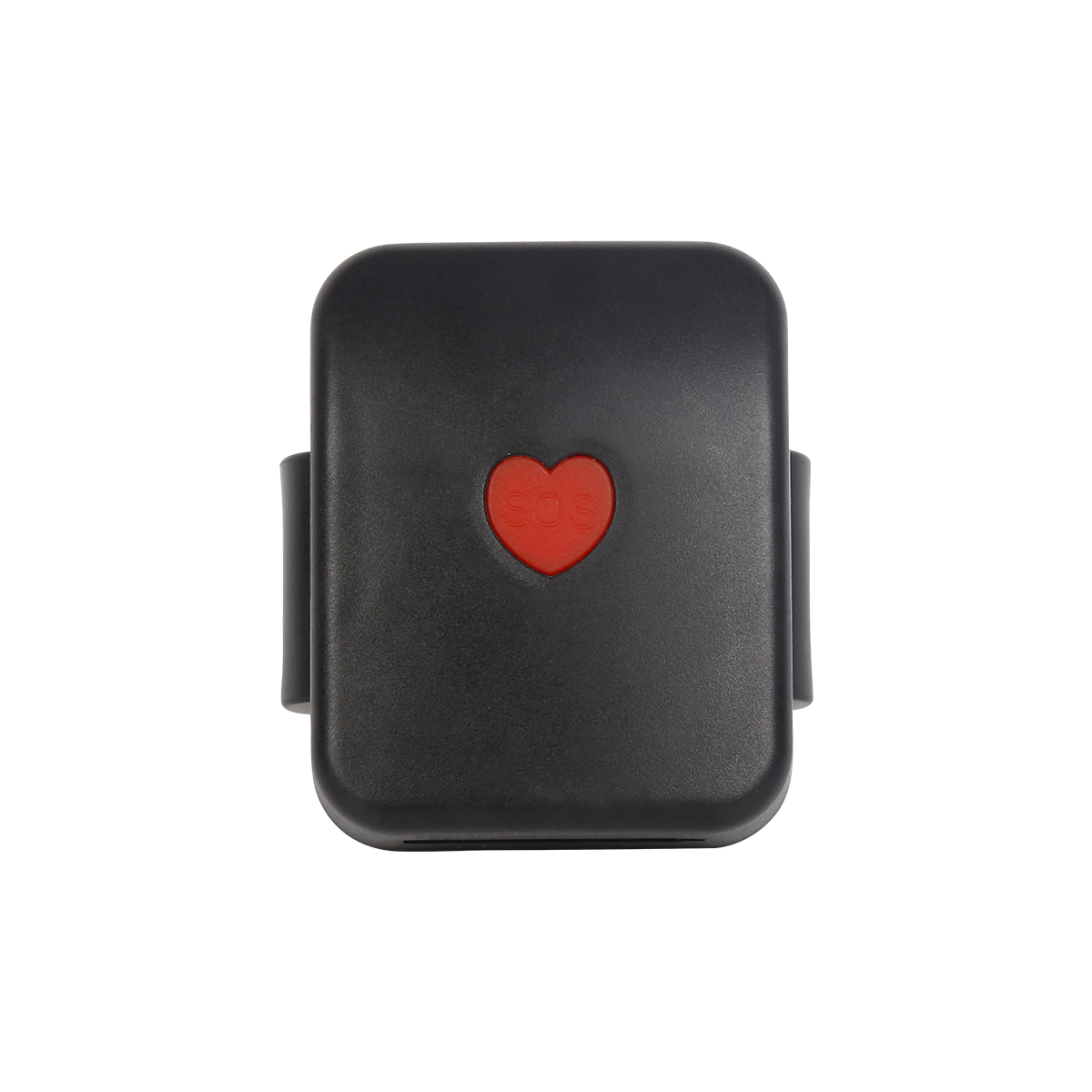
The monitored terminal, usually a smartphone with a GPS module, can display the current GPS coordinates on the phone map. The monitored terminal interacts with the server through wireless broadban...
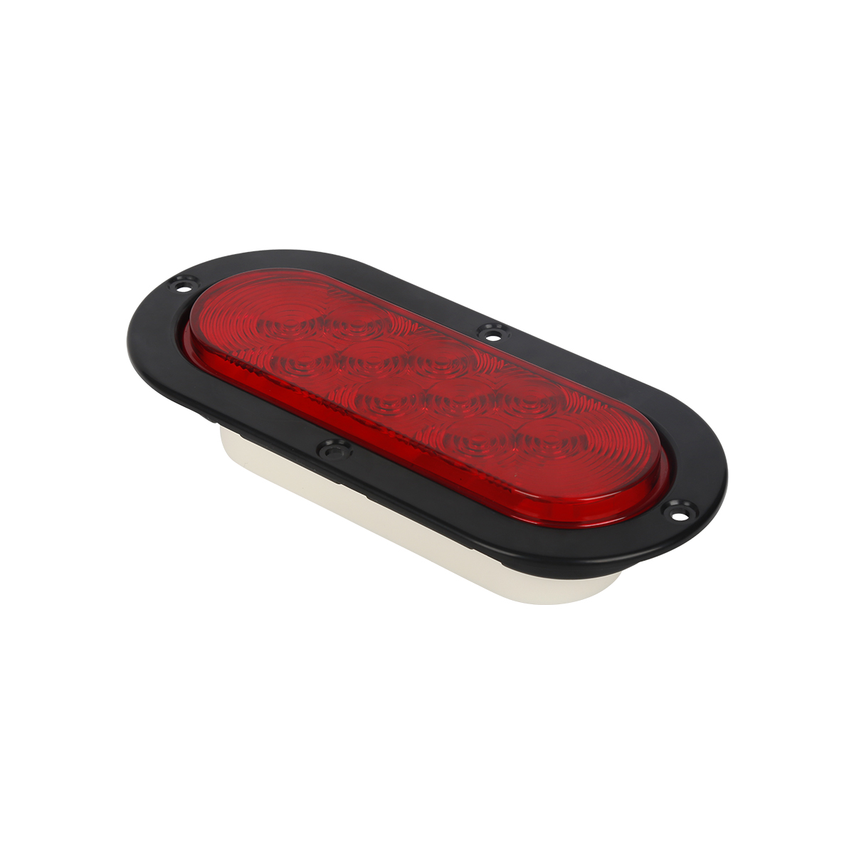
Handheld GPS adopts high-precision measurement based GPS technology, with the most advanced system configuration, providing comprehensive reference station monitoring center and software applicati...
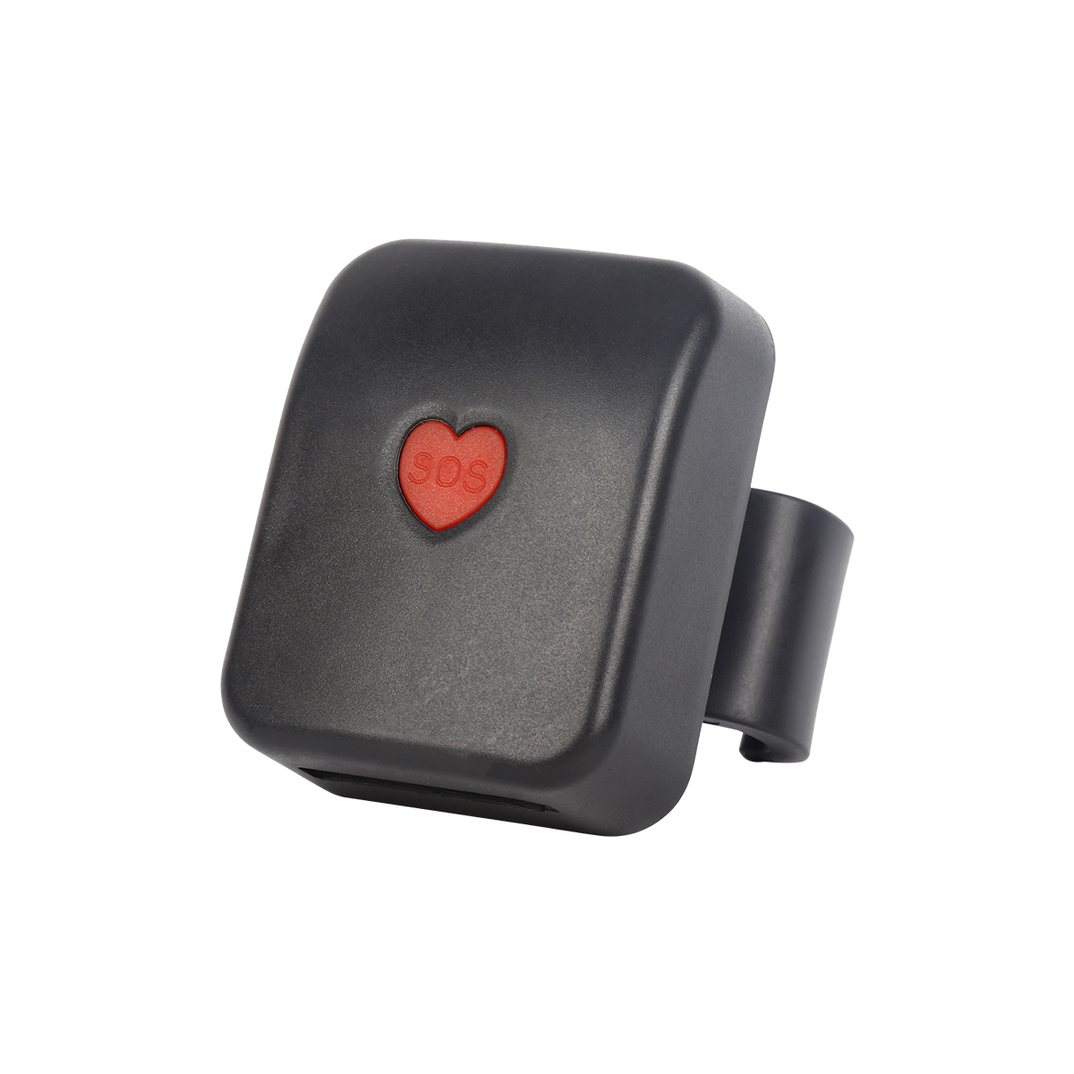
1. Exclusive in car outdoor cross-border navigation New cross-border navigation function, professional navigation voice broadcasting, no need to frequently look at the navigation interface, liste...
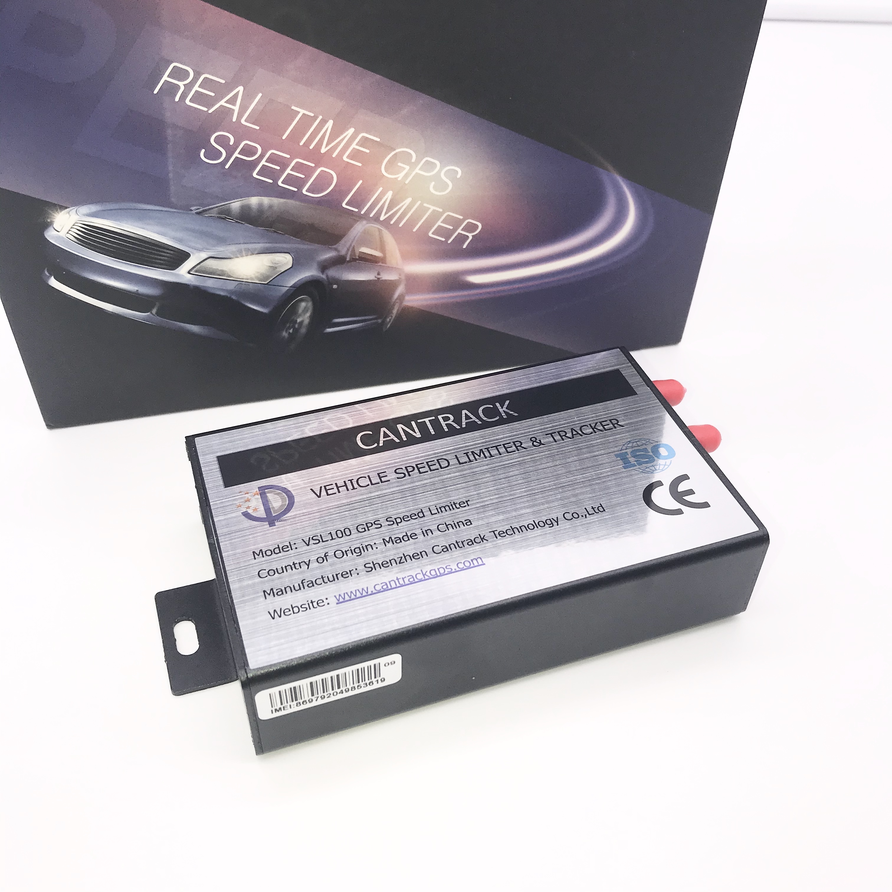
There are many types of GPS satellite receivers, which can be divided into geodetic type, total station type, timing type, handheld type, and integrated type according to their models; According t...
Unicom introduces the SnapTrack technology based gpsOne solution to solve the problem of mobile station positioning. It takes advantage of the advantages of C network in data transmission, utilize...
alger.qin@6gpstracker.com
 Phone: +86 198 7412 0903
 Tel: +86 755 2370 2092
 WhatsApp: +86 198 7412 0903
 Add: FL5, BLDG B, Lianxing Industrial Park, JiangJun Rd, Qiuchang, HuiYang District, Huizhou, Guangdong, China
Copyright © Huizhou Cantrack Technology Co., Ltd. All Rights Reserved. Sitemap “仲达荣”商标为惠州市仲达荣科技有限公司所有


Product

About
Support
News
Contact Us







 Language













 EN
EN