
To get the position of the receiver, when the receiver clock is strictly synchronized with the GPS standard, the position to be solved is 3 unknown variables, and 3 independent equations are needed

source:Industry News release time:2022-09-06 Hits: Popular:realtime gps tracker online
To get the position of the receiver, when the receiver clock is strictly synchronized with the GPS standard, the position to be solved is 3 unknown variables, and 3 independent equations are needed to solve it. However, in practice, it is difficult to achieve strict synchronization between the receiver clock and the GPS standard time. In this way, we also take the receiver time and GPS standard time deviation as an unknown variable. In this way, four independent equations are required to solve, that is, we need to have 4 observation satellites. Fig. 1 Schematic diagram of GPS positioning (without considering time offset) Assuming that the receiver position is (xu, yu, zu) and the receiver time offset is tu, the distance offset caused by the time offset is the obtained pseudorange observation value. We can obtain the simultaneous equation (5) and linearize the above equation, that is, perform Taylor series expansion at the real position (xu, yu, zu), ignoring the high-order terms, and obtain (6) where, Equation (6) is the actual The calculation iteration formula, the iteration termination condition is that the change of the real position (xu, yu, zu) is less than a certain threshold, and the final result can be used as the basis for adjusting the receiver time deviation, and the calculation is generally solved by a matrix method. To solve this equation, we also need to know in advance the positions of the 4 satellites (xj, yj, zj), which can be obtained from the ephemeris of that satellite. The GPS satellite ephemeris gives the ephemeris of the local star, and the real-time position of the satellite can be calculated according to the ephemeris, and the parameters for eliminating satellite clock errors, relativistic errors, earth rotation errors, ionosphere and troposphere errors are given in the ephemeris. , the satellite positions calculated according to these parameters can basically eliminate the above errors. The basic steps for solving the satellite position are: Calculate the average angular velocity of satellite operation ①Calculate the naturalization time; ②Calculate the average perigee angle at the observation moment; ③Calculate the partial perigee angle; ④Calculate the satellite vector radius; ⑥ Calculate the angular distance of the ascending node; ⑦ Calculate the perturbation correction term; ⑧ Calculate the perturbation-corrected ascending distance angle, satellite vector radius, and orbit inclination; ⑨ Calculate the longitude of the ascending node at the time of observation; ⑩ Calculate the satellite in the geocentric coordinate system in the location. It is particularly worth pointing out that when calculating the satellite true anomaly Vk, formula (7) should be used where e is the eccentricity, and Ek is the satellite eccentric anomaly. In some reference books, the formula for calculating the true perigee angle of the satellite is incorrect, which will cause the quadrant ambiguity of the true perigee angle of the satellite, so that the correct position of the satellite cannot be obtained. After the above calculation, each error is further eliminated according to each error parameter broadcast in the ephemeris. In this way, we get a complete process of using GPS ephemeris for navigation and positioning solution.
Read recommendations:
Last article:car GPS global positioning system
Next article:Why is the gps tracker showing offline?
Related Information
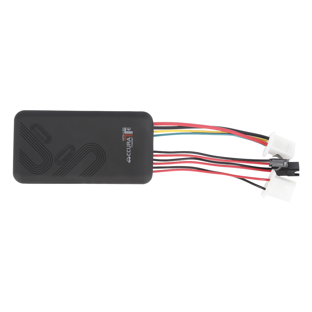
car gps tracker Solution
2023-04-23gps tracker online wholesaler
2023-04-23portable gps tracker
2023-04-11Gps speed limiter wholesaler
2023-04-23GPS Tracker wholesale
2023-04-11gps vehicle tracker price
2023-04-11gps tracker no monthly fee
2023-03-16GPS Tracker wholesaler
2023-03-16Magnetic gps tracker supplier
2023-04-23real-time gps tracking Solution
2023-04-23G900LS 8 Lines-4G Car GPS Tracker
2025-03-31G200NY -Cow/Camel GPS Tracker
2022-06-21NB20 -4G Bluetooth Smart Pet Tracker
2022-06-21G900LM-4G Car Mini GPS Tracker
2025-03-25G900LM J16-4G Car GPS Tracker
2026-04-29Micro Tracking Locator
2022-09-21Features of GPS System
2022-08-05gps tracker is more flexible
2022-09-19GPS vehicle satellite positioning simulation system design
2023-02-06GPS application field
2022-08-13GPS navigation phone.portable gps tracker Solution
2023-06-07The obvious advantages and characteristics of GPS products
2023-02-01Method of purchasing vehicle positioning system.realtime gps tracker online
2023-03-13gps vehicle tracker.How to Install the Beidou GPS Satellite Positioning and Monitoring System in Car
2023-11-02Current Development of GPS.GPS Tracking
2023-09-08GPS clock.Dog gps tracker distributors
2023-07-18GPS cannot search for satellite signal problems.plug & play Obd gps tracker distributors
2023-04-12Factors related to GPS satellites
2022-10-10How long can the historical trajectory records of the car GPS positioning system be maintained.Car g
2023-09-20Does gps tracker cost traffic?
2022-09-15Related Articles

A suitable global GPS tracker manufacturer should provide multi-band 4G LTE Cat 1 devices, confirm network compatibility for the destination market, and support GPS tracking platforms, APIs, OEM/O...

A reliable GPS tracker manufacturer should provide stable 4G real-time tracking, accurate multi-mode positioning, a wide range of device types, fleet and asset management functions, OEM/ODM customizat...

Firstly, let's take a look at why GPS locators are inaccurate and have large errors. GPS positioning accuracy, generally within 10 meters if obtaining Beidou or GPS signals; If it is a signal...

GPS differential positioning technology is an important method to improve the positioning accuracy of the Global Positioning System (GPS). In traditional GPS positioning, satellite signals are af...

Vehicle GPS Navigation System Vehicle mounted GPS navigation system is an indispensable and important device in modern automobiles, providing drivers with convenient and accurate navigation service...

Handheld GPS positioning device is a portable and practical positioning tool widely used in outdoor exploration, geological exploration, forestry investigation and other fields. Handheld GPS posi...
alger.qin@6gpstracker.com
 Phone: +86 198 7412 0903
 Tel: +86 755 2370 2092
 WhatsApp: +86 198 7412 0903
 Add: FL5, BLDG B, Lianxing Industrial Park, JiangJun Rd, Qiuchang, HuiYang District, Huizhou, Guangdong, China
Copyright © Huizhou Cantrack Technology Co., Ltd. All Rights Reserved. Sitemap “仲达荣”商标为惠州市仲达荣科技有限公司所有


Product

About
Support
News
Contact Us


 Language


 EN
EN

