
The GPS positioning system works by using the basic triangulation principle of satellites. The GPS receiving device first finds the location of three or more satellites, and then calculates the di



 Home > News > Other information > truck tracking webfleet solutions > GPS system architecture and analysis
source:truck tracking webfleet solutions release time:2022-09-01 Hits: Popular:realtime gps tracker online
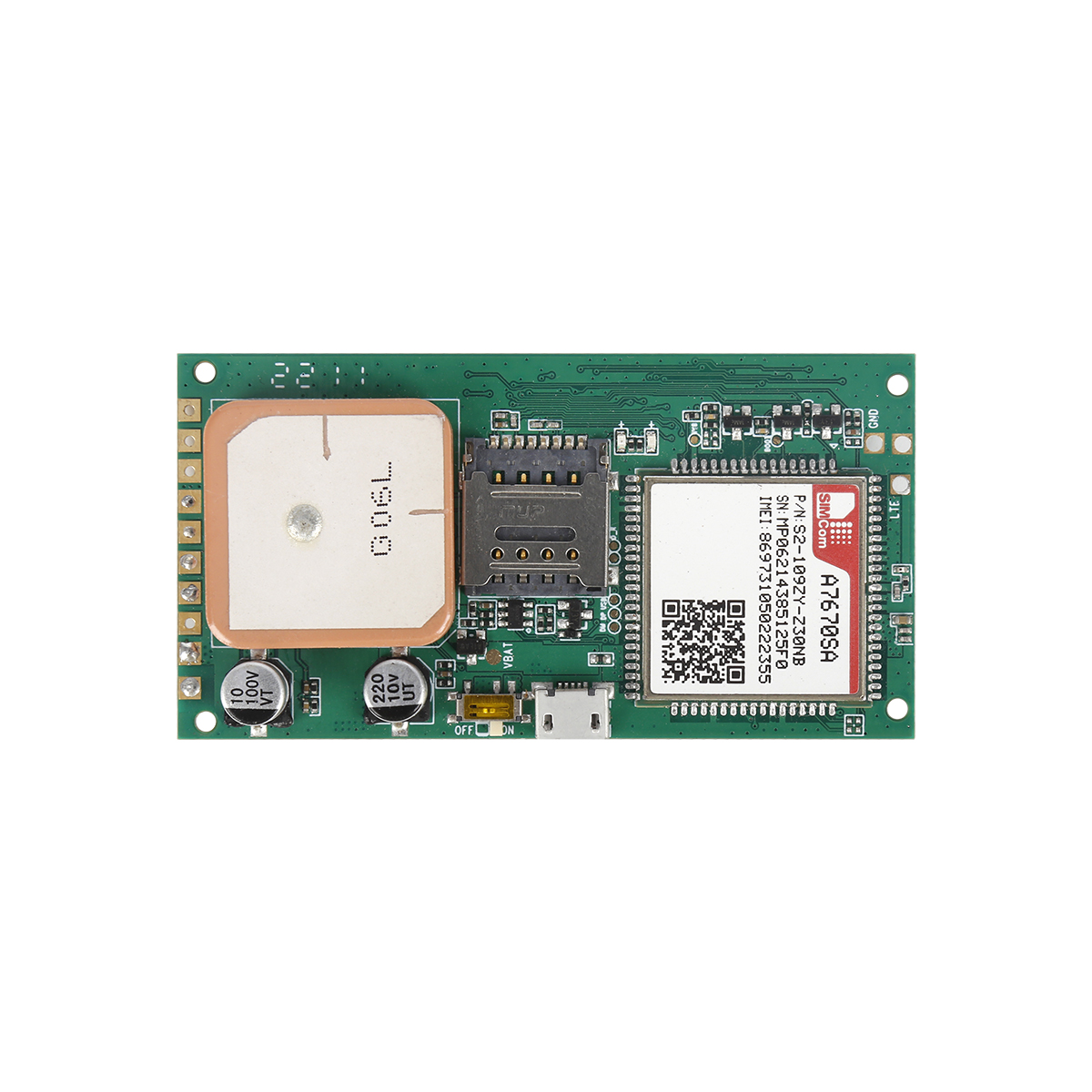
The GPS positioning system works by using the basic triangulation principle of satellites. The GPS receiving device first finds the location of three or more satellites, and then calculates the distance between each satellite and the receiver, and then the coordinate value of the receiver in the three-dimensional space can be obtained. More than 20 satellites of the GPS system will transmit L1 and L2 signals with two frequencies of 1575.42MHz and 1227.60MHz respectively. General civilian GPS receivers only need to receive L1, that is, 1575.42MHz frequency signal .
The GPS device of the client receiver will receive the positioning signal from the navigation satellite, which is a one-way GPS signal receiver. First, the GPS antenna will first receive GPS satellite signals, and then convert the high-frequency signals into medium and low-frequency digital signals through the RF front-end and transmit them to the GPS baseband module. The core technology of the baseband lies in the design of the correlator. The correlator is mainly used to compare and find the correct satellite number, and then obtain the perpetual calendar (Almanac) and broadcast ephemeris (BroADCast Ephemeris) of multiple satellites by comparison. The more channels of the correlator, the faster the position of the satellite can be found. At present, general GPS receivers provide at least 12 channels of correlators, and higher-order receivers have 16 or even 32 channels of correlators.
The control function of the GPS receiver is realized by a microprocessor or a microcontroller. The processor can be a stand-alone unit, or it can be integrated with the baseband. At present, low-end GPS receiver products usually use ARM7 as the core ; high-end products generally use ARM9. In addition, these components will also have microprocessor support functions such as UART and real-time clock (RTC).
The broadcast ephemeris data will be output to the main processor in the format of NMEA 0183 or RTCM, and further integrated with the GIS map engine to display the location of the street; the location information can also be sent through the wireless communication interface, so that the remoteserver can further provide the relevant location. Serve. NMEA 0183 is a standard communication protocol commonly used by GPS, which uses a simplified ASCII serial communication protocol to define the format of data transmission.
The WAAS system in the United States or the EGNOS system in Europe adopts the differential positioning (DGPS) assisted positioning mode. When the GPS adopts this mode, it needs to output the protocol format of RTCM or NTRIP 1.0.
In addition, since the original data formats provided by different receivers are usually different, a GPS universal data exchange format must be established to uniformly process the data collected by different types of receivers. The format commonly used in the industry is RINEX.
Read recommendations:
G900LM 4G&2G GSM Anti-Jammer Car GPS Tracker
Does the GPS positioner help the battery car anti -theft?vehicle gps tracker webfleet solutions
Last article:GPS system architecture and analysis
Next article:GPS Control Center
Related Information
gps vehicle tracker manufacturer
2023-04-23Pet GPS Tracker distributors
2023-03-16obd2 gps tracker verizon wholesaler
2023-04-23gps vehicle tracker sales
2023-04-23gps vehicle tracking
2023-03-16gps vehicle tracker distributors
2023-04-11gps vehicle tracker supplier
2023-04-11fleet gps tracking maker
2023-04-23best gps tracker
2023-04-114G GPS Tracker company
2023-04-23G900LM J16-4G Car GPS Tracker
2026-04-29YG119- Hunting Dog GPS tracker
2023-10-076000mAh Magnetic Asset GPS Tracker
2025-03-313 Years Disposable Asset GPS Tracker
2026-04-293 Years Disposable Asset GPS Tracker
2026-04-29Why do the antennas need to be facing up when installing a GPS tracker?
2022-09-08GPS satellite positioning instrument function.gps tracker for bike company
2023-05-26What car GPS positioner should be installed with a mortgage car?plug & play Obd gps tracker Manu
2023-03-25GPS system management
2022-10-08How to choose a reliable GPS manufacturer service operator to cooperate with?
2022-07-16The main error and elimination algorithm in GPS positioning
2023-02-10School bus GPS positioning and 3G wireless video monitoring management.Magnetic gps tracker Factory
2023-07-10Global Navigation Satellite System
2022-11-04Compared with the difference between Beidou positioning and GPS positioning.gps tracker for trailer
2023-06-17GPS receiver.gps tracker no monthly fee distributors.gps tracker no monthly fee ufacturer
2023-04-13Modernization of GPS.OBD GPS Tracker manufacture
2023-09-08Issues that need attention during the purchase of GPS vehicle terminals.plug & play Obd gps trac
2023-03-28The difference between gps and cellular version
2022-11-03The Development History of GPS in the United States.4G GPS Tracker for vehicles manufacture
2023-08-19The difference between manufacturers compare the Beidou satellite navigation system and GPS navigati
2023-06-15Related Articles
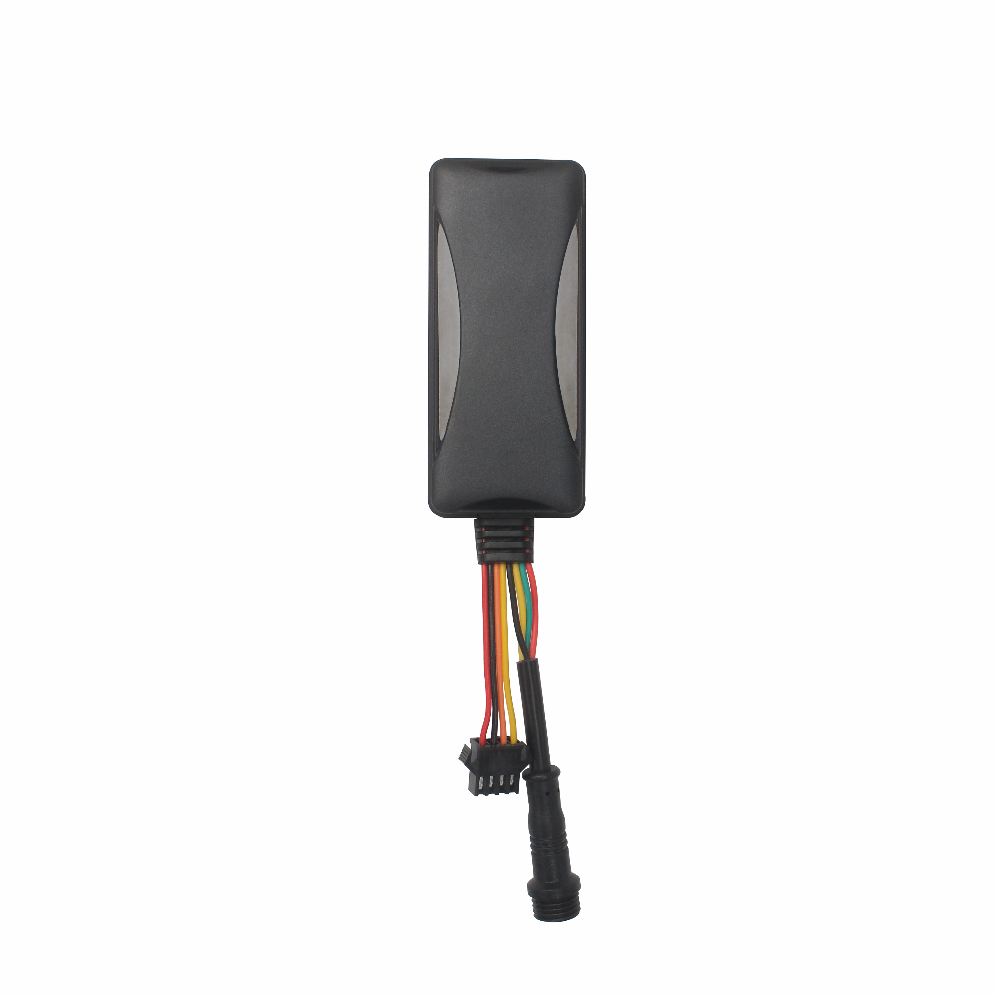
The Best GPS Tracker Depends on Your Vehicle Tracking GoalThe best vehicle GPS tracker depends on what you want to achieve, such as anti-theft protection, real-time location monitoring, fleet manageme...
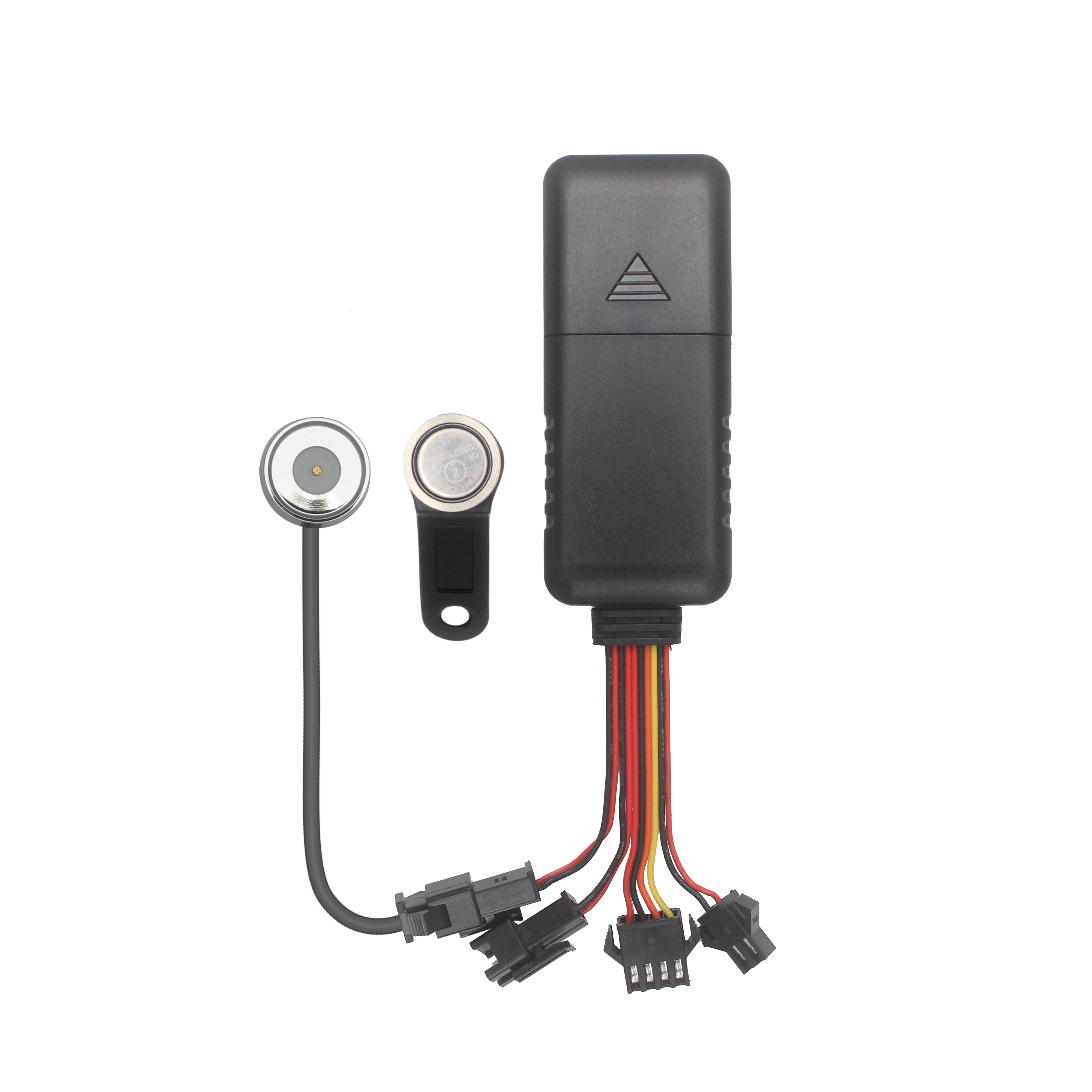
What Is the Best GPS Tracker for Car Anti-Theft and Real-Time Tracking?The best GPS tracker for car anti-theft depends on your vehicle security objectives. A proper solution should deliver reliable po...

Choosing the Right GPS Tracker Starts With Your Asset EnvironmentA suitable GPS tracker for trailers and outdoor assets depends on power availability, deployment duration, tracking frequency and envir...
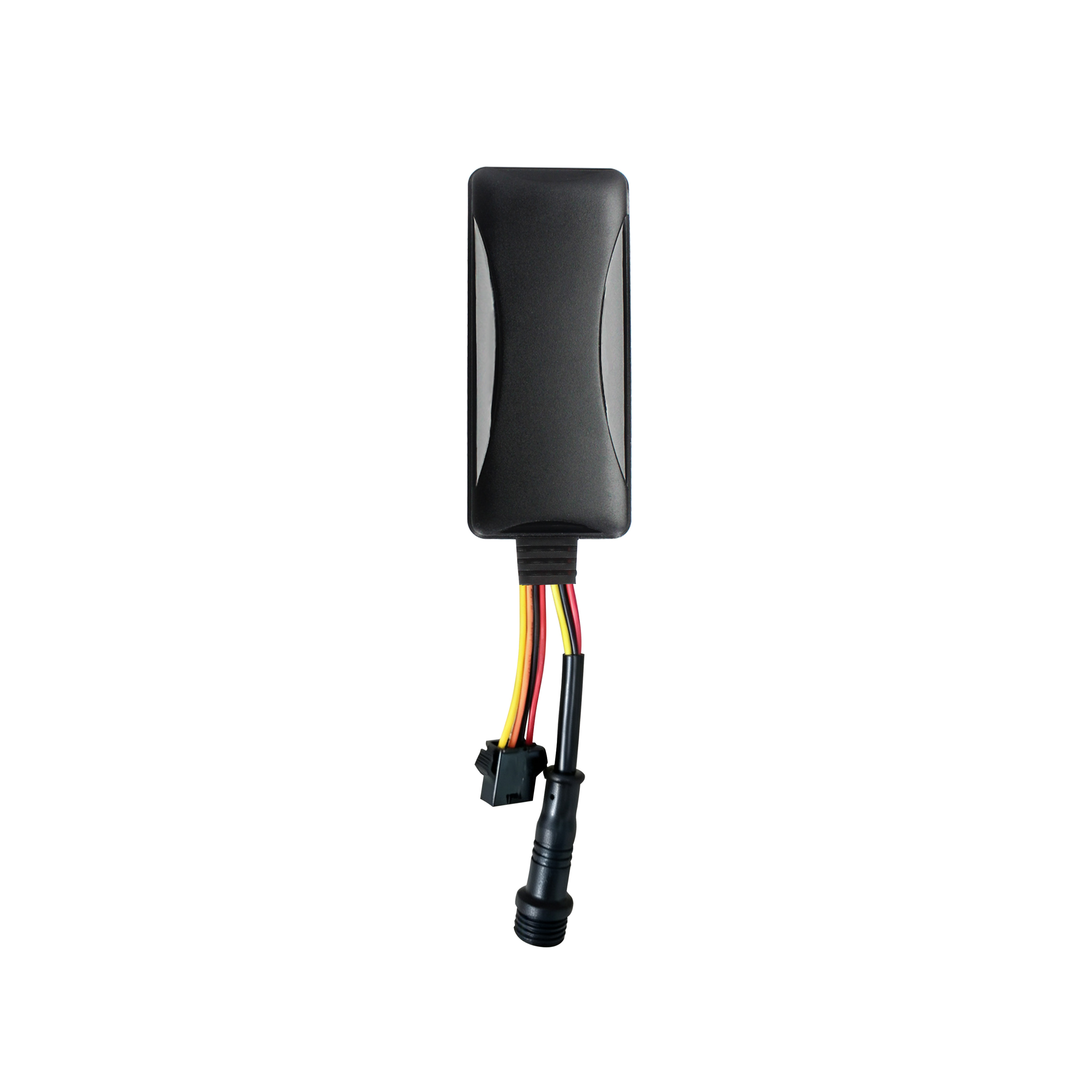
Cantrack Technology serves over 11,000 overseas customers, shipping millions of trackers annually, and keeping more than 3 million devices online worldwide. As competition grew, Cantrack evolved it...
A Reliable Fleet Tracking Solution Is More Than a GPS DeviceFleet operators are rarely asking only whether a GPS tracker can show vehicle location. They need reliable monitoring, unauthorized-use aler...

Buying GPS Trackers in Bulk Is More Than Comparing Unit PriceA GPS tracker order can look affordable on a quotation sheet and still become expensive after deployment. The real cost appears when device...
alger.qin@6gpstracker.com
 Phone: +86 198 7412 0903
 Tel: +86 755 2370 2092
 WhatsApp: +86 198 7412 0903
 Add: FL5, BLDG B, Lianxing Industrial Park, JiangJun Rd, Qiuchang, HuiYang District, Huizhou, Guangdong, China
Copyright © Huizhou Cantrack Technology Co., Ltd. All Rights Reserved. Sitemap “仲达荣”商标为惠州市仲达荣科技有限公司所有


Product

About
Support
News
Contact Us







 Language














 EN
EN