
After the Soviet Union launched the first artificial satellite, researchers at the Applied Physics Laboratory of John Hobbs King University in the United States proposed that since the position of



 Home > News > Other information > truck tracking webfleet solutions > Principles of GPS System.Cantrack TK100
source:truck tracking webfleet solutions release time:2023-09-04 Hits: Popular:realtime gps tracker online
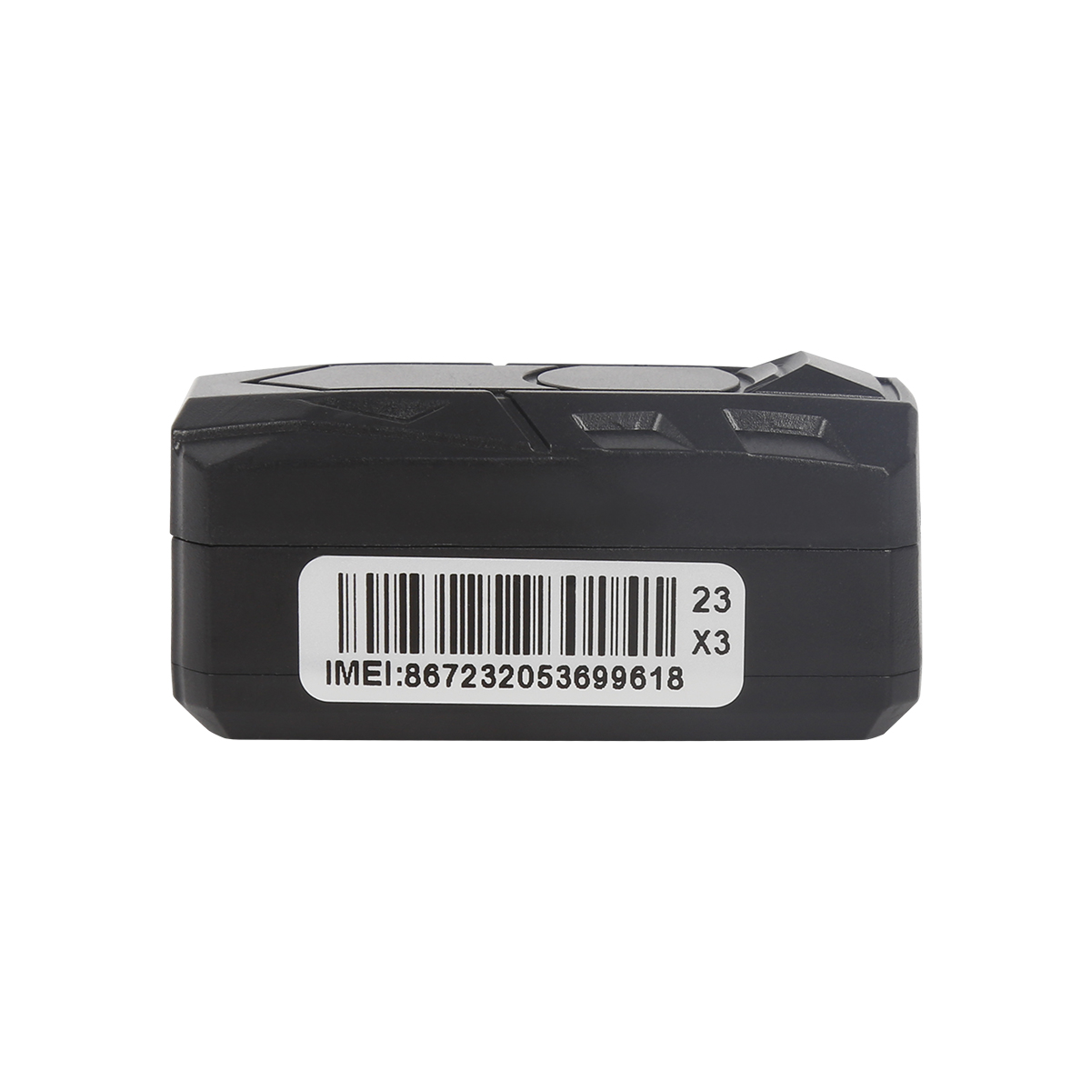
After the Soviet Union launched the first artificial satellite, researchers at the Applied Physics Laboratory of John Hobbs King University in the United States proposed that since the position of the observation station could be known, if the satellite position was known, it should also be possible to measure the recipient's location. This is the basic idea of navigation satellites. The basic principle of a GPS navigation system is to measure the distance between a satellite with a known position and the user's receiver, and then combine the data of multiple satellites to determine the specific position of the receiver. To achieve this goal, the position of the satellite can be found in the satellite ephemeris based on the time recorded by the onboard clock. The distance from the user to the satellite is obtained by recording the time it takes for the satellite signal to propagate to the user, and then multiplying it by the speed of light (due to interference from the atmospheric ionosphere, this distance is not the true distance between the user and the satellite, but pseudo-random code (PR): When the GPS satellite is operating normally, it will continuously transmit navigation messages using a pseudo-random code composed of 1 and 0 binary symbols (referred to as pseudo-random code). There are two types of pseudo codes used in GPS systems, namely civilian C/A codes and military P (Y) codes. The C/A code frequency is 1.023MHz, with a repetition period of one millisecond and a code spacing of 1 microsecond, equivalent to 300m; The P-code frequency is 10.23MHz, with a repetition period of 266.4 days and a code spacing of 0.1 microseconds, equivalent to 30m. The Y code is formed on the basis of the P code, which has better confidentiality performance. Navigation messages include satellite ephemeris, operating conditions, clock correction, ionospheric delay correction, atmospheric refraction correction, and other information. It is unmodulated from satellite signals and transmitted on the carrier frequency with a 50b/s modulation. The navigation message contains 5 subframes in each main frame, with a frame length of 6 seconds. The first three frames each have 10 character codes; Repeat every 30 seconds and update every hour. The last two frames total 15000b. The content in navigation messages mainly includes telemetry codes, conversion codes, 1st, 2nd, and 3rd data blocks, with the most important being ephemeris data. When a user receives a navigation message, they can extract the satellite time and compare it with their own clock to determine the distance between the satellite and the user. Then, they can use the satellite ephemeris data in the navigation message to calculate the position of the satellite when transmitting the message, and obtain information such as the user's position and velocity in the WGS-84 geodetic coordinate system. It can be seen that the function of the satellite part of the GPS navigation system is to continuously transmit navigation messages. However, since the clock used by the user's receiver cannot always be synchronized with the satellite's onboard clock, in addition to the user's three-dimensional coordinates x, y, and z, it is also necessary to introduce a Δ The time difference between the satellite and the receiver is taken as an unknown number, and these four unknowns are solved using four equations. So if you want to know the location of the receiver, you need to be able to receive signals from at least four satellites.
Read recommendations:
GPS Tracker for vehicles Vendor
3 Years Disposable Asset GPS Tracker
Development of China's GPS Navigation Market
System Composition of GPS PPS Clock Synchronization Technology
Last article:GPS functions.Cantrack Login
Next article:GPS satellite on test stand.GPS Tracker
Related Information
mini gps tracker wholesaler
2023-04-23Gps speed limiter manufacture
2023-04-23Cantrack TK100
2023-04-11OBD GPS Tracker sales
2023-03-16gps tracker no monthly fee
2023-04-23Dog gps tracker supplier
2023-04-23fleetmanagement webfleet solutions
2023-03-16gps vehicle tracker Vendor
2023-04-11gps tracker no monthly fee
2023-03-16rastreadores gps
2023-03-16G900LS 8 Lines-4G Car GPS Tracker
2026-04-29G900LS J16-4G Car GPS Tracker
2026-04-296000mAh Magnetic Asset GPS Tracker
2026-04-29G03
2022-06-216000mAh Magnetic Asset GPS Tracker
2025-03-31GPS personal positioning
2022-12-15Select the factors that the GPS vehicle positioner needs to consider
2023-03-06Basic knowledge of GPS equipment installation
2022-12-14GPS application field
2022-12-29What cards do car GPS positioners generally use
2023-03-07What are the types of driving recorders?GPS Tracker for vehicles Manufacturing
2023-04-14GPS radar detector
2022-11-18The development of GPS system
2022-10-12Positioner manufacturer tells the role of car GPS positioner.gps tracker for trailer Vendor
2023-06-08The difference between gps and cellular version
2022-11-03What are GPS satellite tracks?
2022-10-26Requirements for establishing Beidou/GPS positioning management for truck transportation vehicles.Gp
2023-09-23GPS module accuracy.gps vehicle tracker Solution
2023-07-11GPS receiver introduction.gps tracker no monthly fee Solution
2023-05-11GPS FPGA Program Design
2022-11-10Related Articles

The Best GPS Tracker Depends on Your Vehicle Tracking GoalThe best vehicle GPS tracker depends on what you want to achieve, such as anti-theft protection, real-time location monitoring, fleet manageme...
What Is the Best GPS Tracker for Car Anti-Theft and Real-Time Tracking?The best GPS tracker for car anti-theft depends on your vehicle security objectives. A proper solution should deliver reliable po...

Choosing the Right GPS Tracker Starts With Your Asset EnvironmentA suitable GPS tracker for trailers and outdoor assets depends on power availability, deployment duration, tracking frequency and envir...
Cantrack Technology serves over 11,000 overseas customers, shipping millions of trackers annually, and keeping more than 3 million devices online worldwide. As competition grew, Cantrack evolved it...
A Reliable Fleet Tracking Solution Is More Than a GPS DeviceFleet operators are rarely asking only whether a GPS tracker can show vehicle location. They need reliable monitoring, unauthorized-use aler...
alger.qin@6gpstracker.com
 Phone: +86 198 7412 0903
 Tel: +86 755 2370 2092
 WhatsApp: +86 198 7412 0903
 Add: FL5, BLDG B, Lianxing Industrial Park, JiangJun Rd, Qiuchang, HuiYang District, Huizhou, Guangdong, China
Copyright © Huizhou Cantrack Technology Co., Ltd. All Rights Reserved. Sitemap “仲达荣”商标为惠州市仲达荣科技有限公司所有


Product

About
Support
News
Contact Us







 Language













 EN
EN