
GPS achieves high -precision radio navigation positioning through artificial earth satellites. GPS positioning includes pseudo -distance single -point positioning, carrier phase positioning, and



 Home > News > Other information > truck tracking webfleet solutions > What positioning is the GPS positioner?
source:truck tracking webfleet solutions release time:2023-02-17 Hits: Popular:realtime gps tracker online
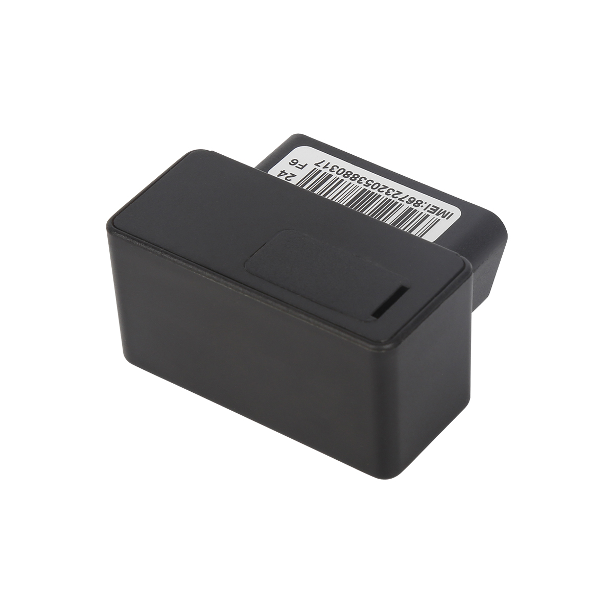
GPS achieves high -precision radio navigation positioning through artificial earth satellites.
GPS positioning includes pseudo -distance single -point positioning, carrier phase positioning, and real -time differential positioning. The pseudo -distance measurement is to determine the distance from the satellite to the receiver, that is, the distance between the ranging code signal transmitted by the satellite to reach the GPS receiver is multiplied by the speed of light. The carrier phase measurement is the phase delay from the GPS satellite carrier signal to the receiver antenna. The GPS satellite carriers are prepared on the ranging code and navigation electrical texts. After receiving the satellite signal, the ranging code and satellite electrical text on the carrier are first removed, and the carrier is re -obtained.
The principle of real -time differential positioning of GPS is to place the GPS receiver (referred to as the benchmark station) on the existing accurate heart coordinate points, and use the well -known ground -hearted coordinates and Star Calendar to calculate the correction value of the GPS observation value, and use radio communication through radio communication Equipment (referred to as a data chain) sends the correction to the GPS receiver (called a mobile station) in the movement.
server
After the GPS positioner receives the satellite electrical text emitted by the GPS, the information is forwarded to the Internet server through the communication module of the positioner. Because it receives a very primitive series of data, these data must be parsed through the server to further grasp the specific location information. And, only uploaded to the Internet can people find the location information of the vehicle through software,
Positioning service platform
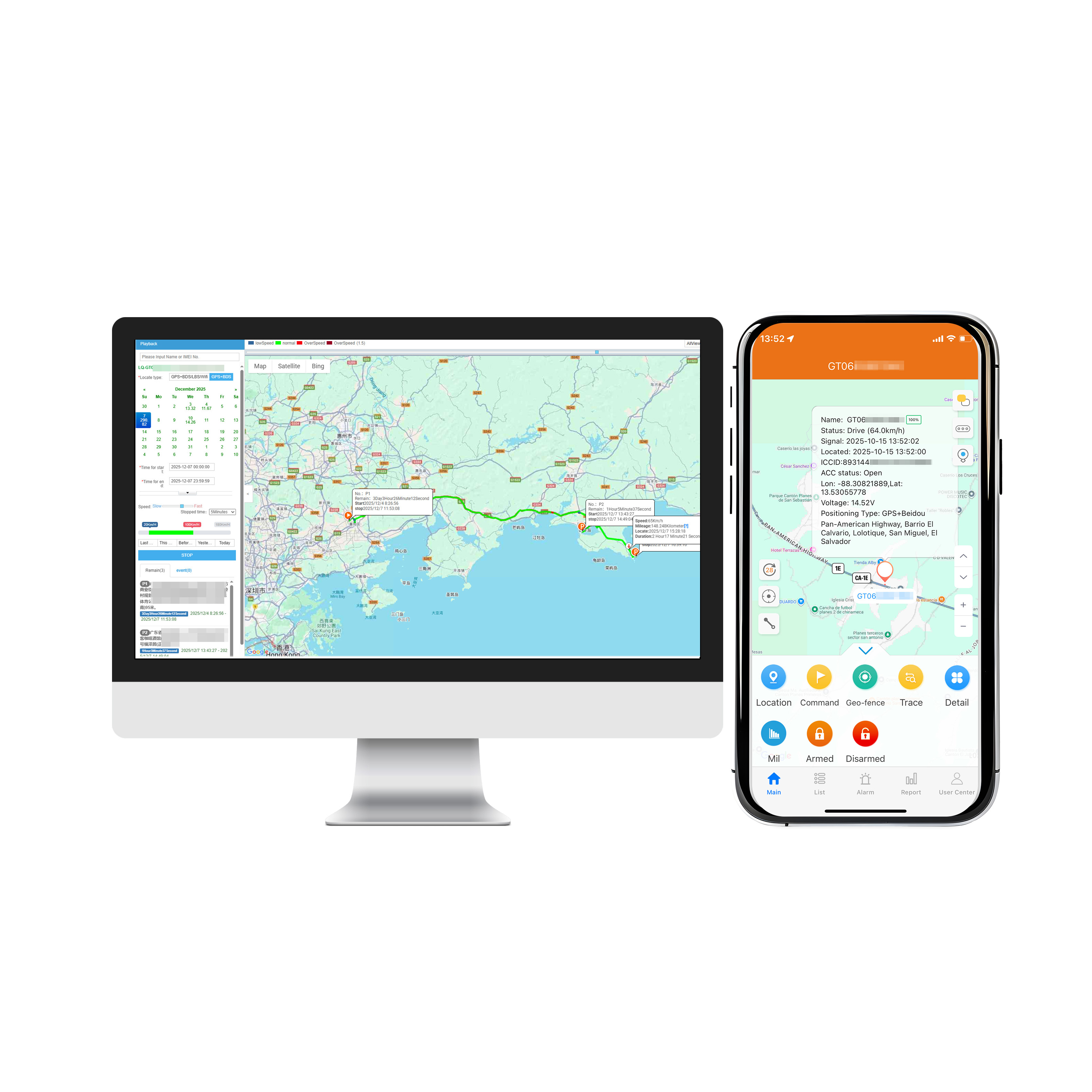
Where to check the data analysis? In order to solve this problem, the positioning service platform has been developed. As long as you log in to the account password binding the GPS positioner, you can quickly see the location information of the vehicle on the platform. Vehicle information includes location, speed, direction, and even historical driving data, which can be seen on the positioning service platform. In addition to real -time positioning and viewing historical trajectory, electronic fences can also be set up, real -time road conditions and street views can be set up.
If the GPS positioner is to implement the positioning function, the data receiving, analysis and viewing transformation must be completed through the three lines of GPS, server and service platforms to achieve. Of course, due to the delay and instability of the signal, the positioning results usually have an error of 5-30 meters, but the impact is not great.
Read recommendations:
Next article:Which is the best use of GPS positioning tracker for the loss of the elderly
Related Information
gps vehicle tracker wholesaler
2023-04-23gps vehicle tracker maker
2023-04-11GPS Trackers Solution
2023-04-114G GPS Tracker for vehicles Vendor
2023-04-23Car gps tracking Processing
2023-04-23pet gps tracker cat Factory
2023-03-16Magnetic gps tracker
2023-04-11fleet gps trackers Solution
2023-04-23Cantrack GPS Tracker
2023-03-16pet gps tracker cat Manufacturing
2023-03-166000mAh Magnetic Asset GPS Tracker
2026-04-294G OBD2 GPS Tracker
2026-04-29G500L -4G OBD GPS Tracker
2022-09-0610000mAh Magnetic Asset GPS Tracker
2026-04-29G09L -6 inch Tail light tracker
2022-06-20Beidou 4G wiring GPS positioner installation precautions.realtime gps tracker online Processing
2023-03-28Functions of GPS
2022-10-12GPS Starry Structure and Solving Process
2023-02-10Car GPS Application Notes
2022-08-24What should I do if I encounter an offline alarm in the car GPS positioner?realtime tracking device
2023-03-24Application of GPS Positioning Technology in Network Security
2022-11-25Electric car is equipped with GPS positioning function and recovered the same day after being stolen
2022-08-11How to use a mobile phone to check the car GPS positioning system?
2023-09-20What is the GPS
2022-10-13GPS classification and usage.gps vehicle tracker company
2023-07-14How to solve the car GPS positioner?fleet management software webfleet solutions
2023-03-09How to solve the problem of inaccurate car GPS positioner?plug & play Obd gps tracker Production
2023-03-28What should I pay attention to when purchasing GPS products?
2022-11-24Schematic diagram of GPS satellite navigation system
2022-11-25Three wiring line search methods for installing GPS positioner.realtime gps tracker online supplier
2023-04-11Related Articles

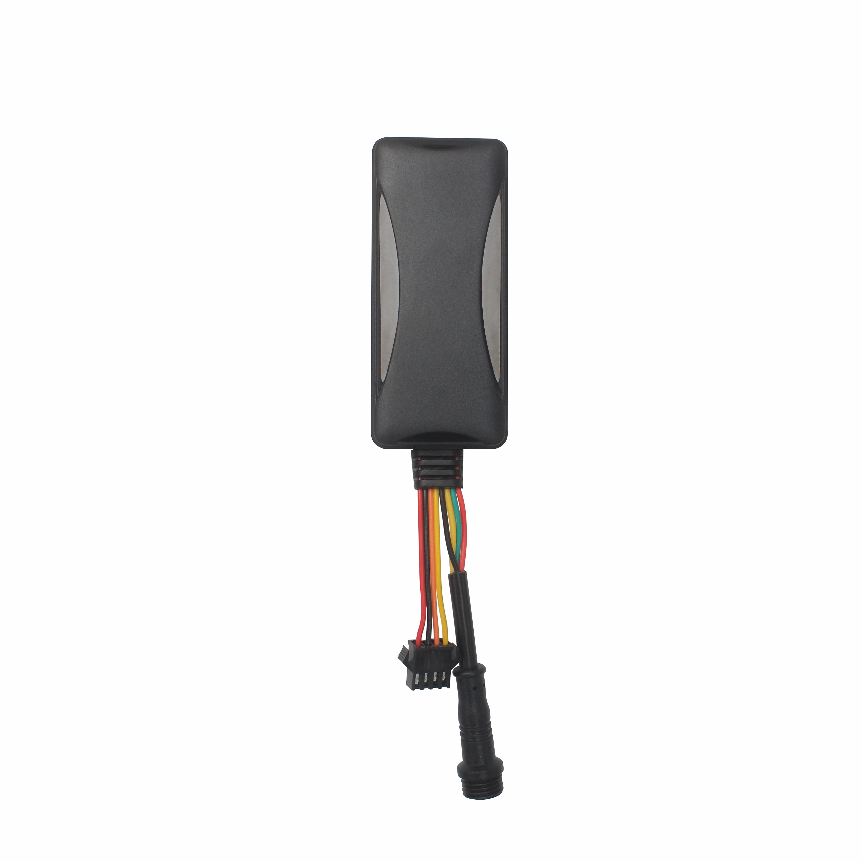
The Best GPS Tracker Depends on Your Vehicle Tracking GoalThe best vehicle GPS tracker depends on what you want to achieve, such as anti-theft protection, real-time location monitoring, fleet manageme...
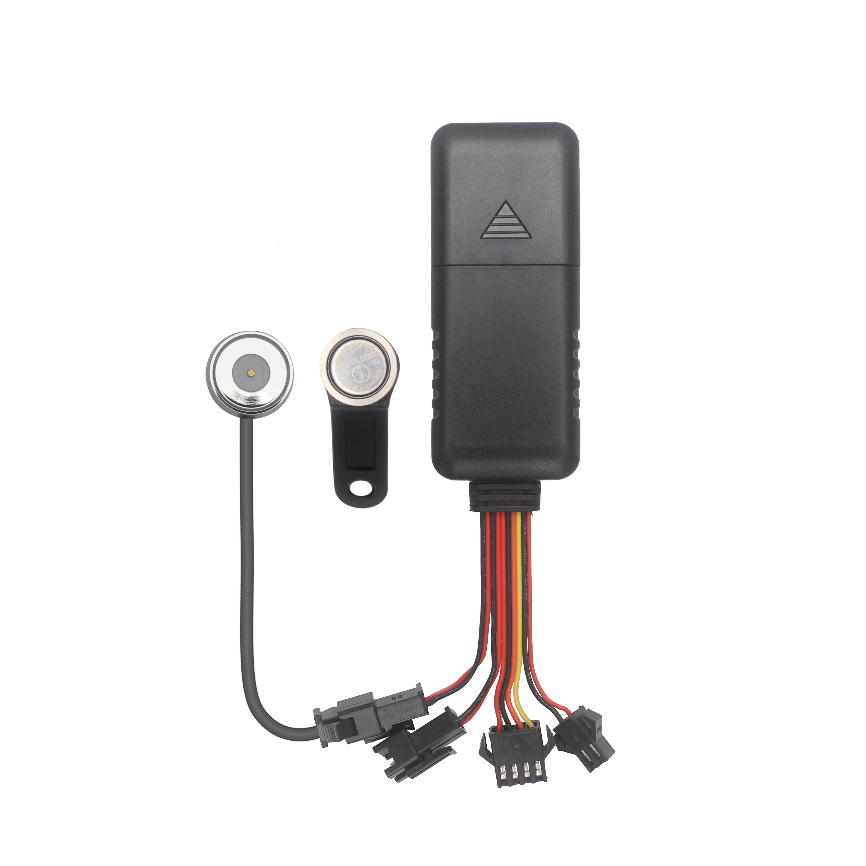
What Is the Best GPS Tracker for Car Anti-Theft and Real-Time Tracking?The best GPS tracker for car anti-theft depends on your vehicle security objectives. A proper solution should deliver reliable po...

Choosing the Right GPS Tracker Starts With Your Asset EnvironmentA suitable GPS tracker for trailers and outdoor assets depends on power availability, deployment duration, tracking frequency and envir...
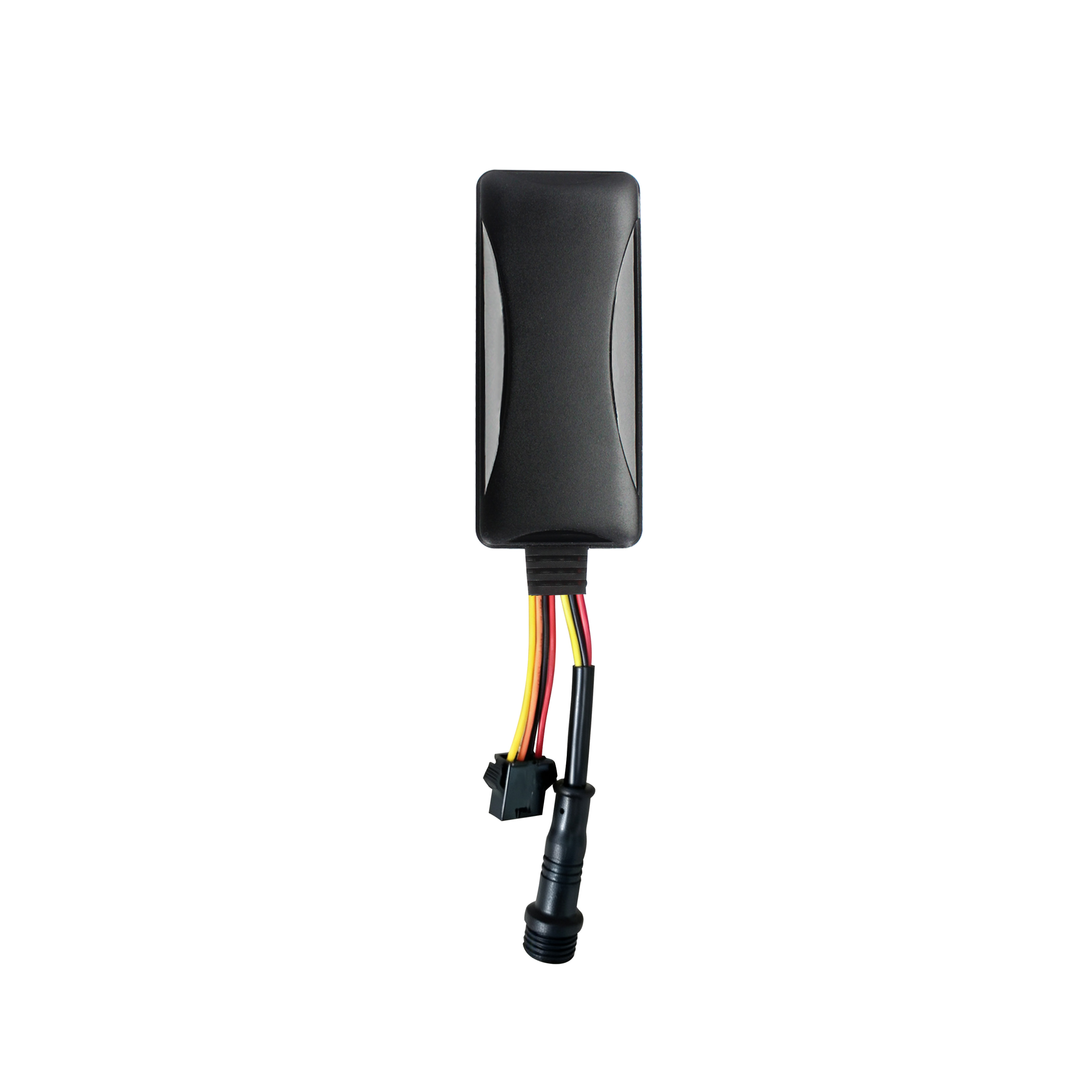
Cantrack Technology serves over 11,000 overseas customers, shipping millions of trackers annually, and keeping more than 3 million devices online worldwide. As competition grew, Cantrack evolved it...
A Reliable Fleet Tracking Solution Is More Than a GPS DeviceFleet operators are rarely asking only whether a GPS tracker can show vehicle location. They need reliable monitoring, unauthorized-use aler...
alger.qin@6gpstracker.com
 Phone: +86 198 7412 0903
 Tel: +86 755 2370 2092
 WhatsApp: +86 198 7412 0903
 Add: FL5, BLDG B, Lianxing Industrial Park, JiangJun Rd, Qiuchang, HuiYang District, Huizhou, Guangdong, China
Copyright © Huizhou Cantrack Technology Co., Ltd. All Rights Reserved. Sitemap “仲达荣”商标为惠州市仲达荣科技有限公司所有


Product

About
Support
News
Contact Us







 Language














 EN
EN