
Professional high-quality GPS tracker manufacturer from China. Cantrack delivers 16-year expertise in Fleet&Assets tracking. Real-time monitoring & anti-theft for vehicles, global assets.

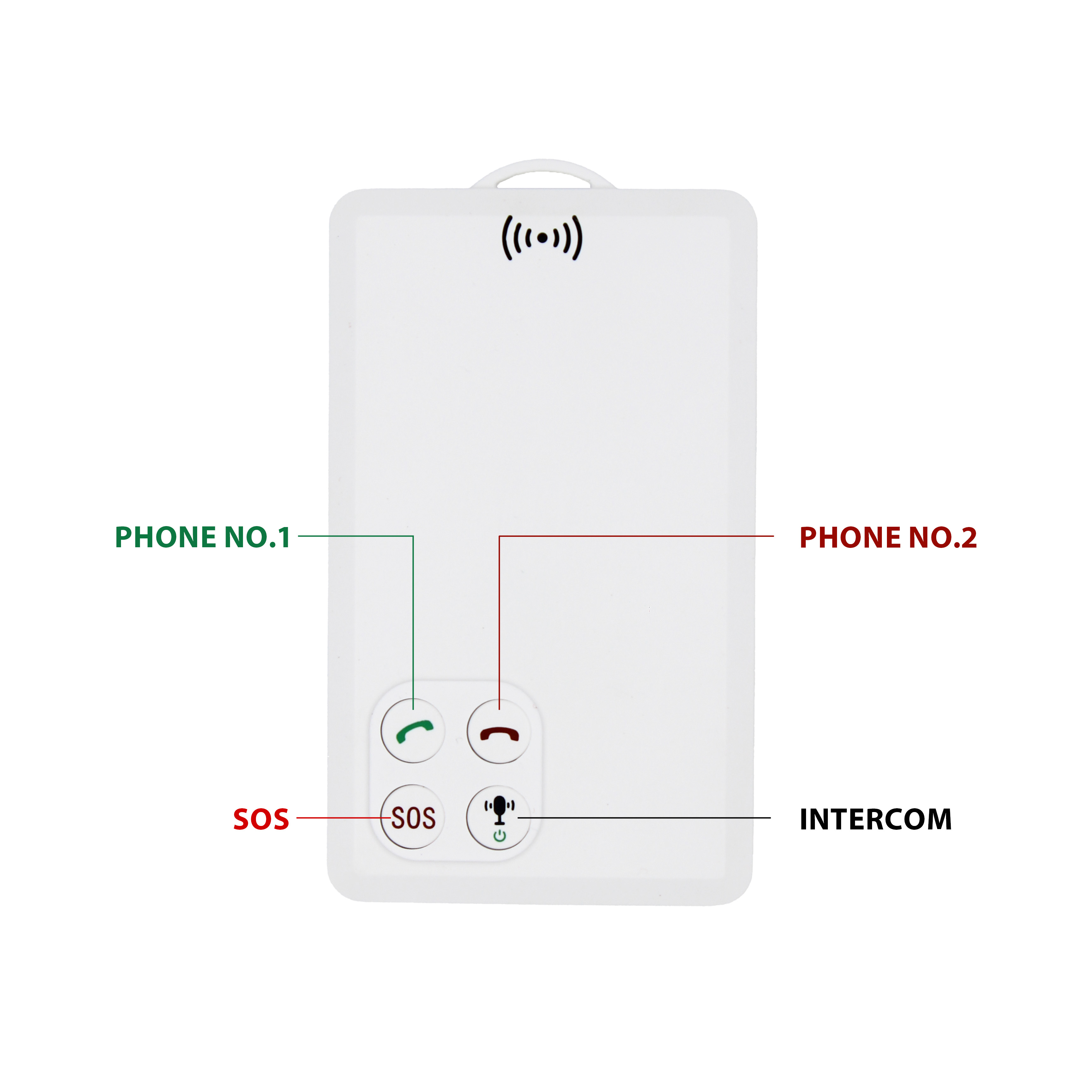
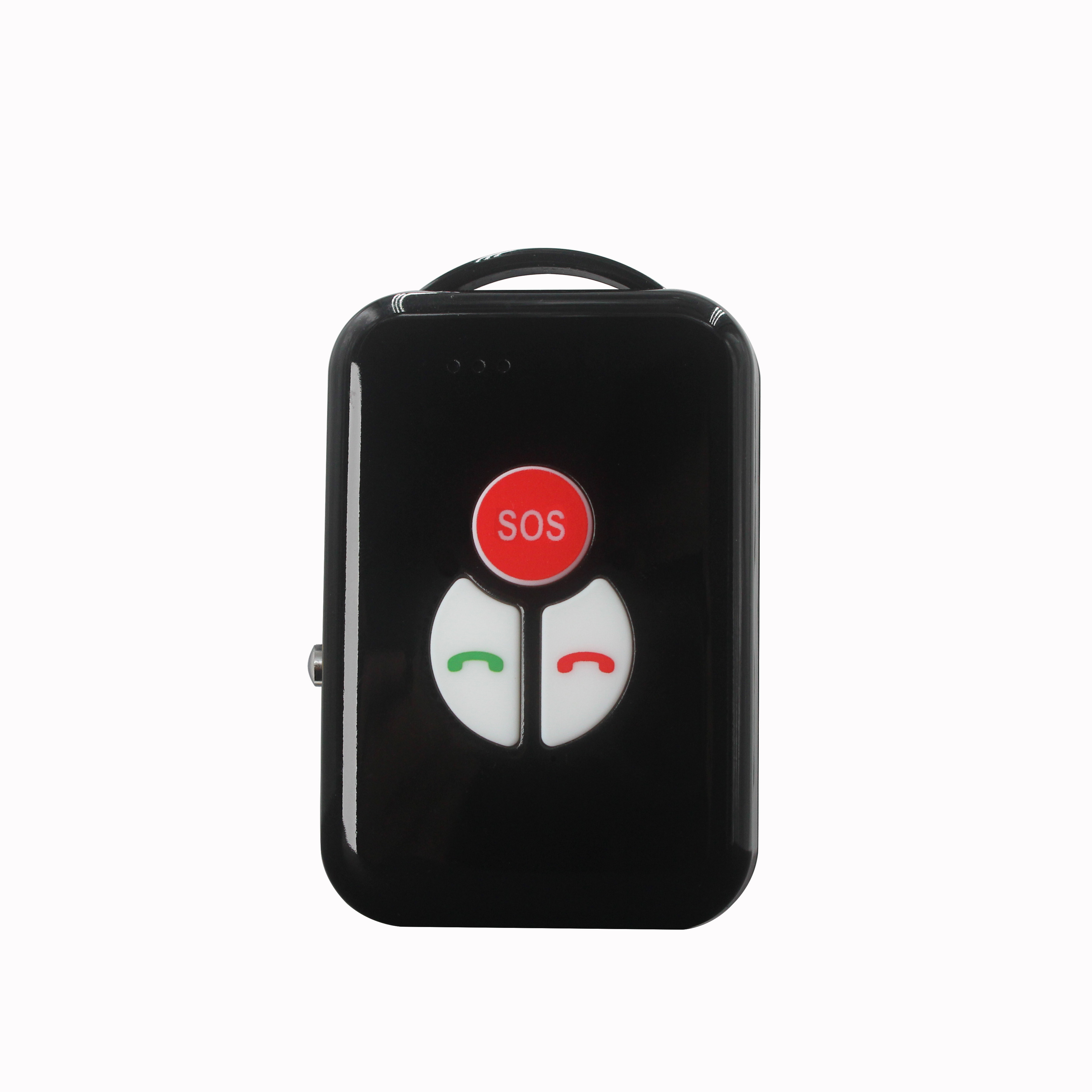
P901 is the thinnest smart walkie-talkie with real time GPS tracking function.It can be used in any place with GSM signal regardless distance limitation.We've already tested one key push-to-talk N...


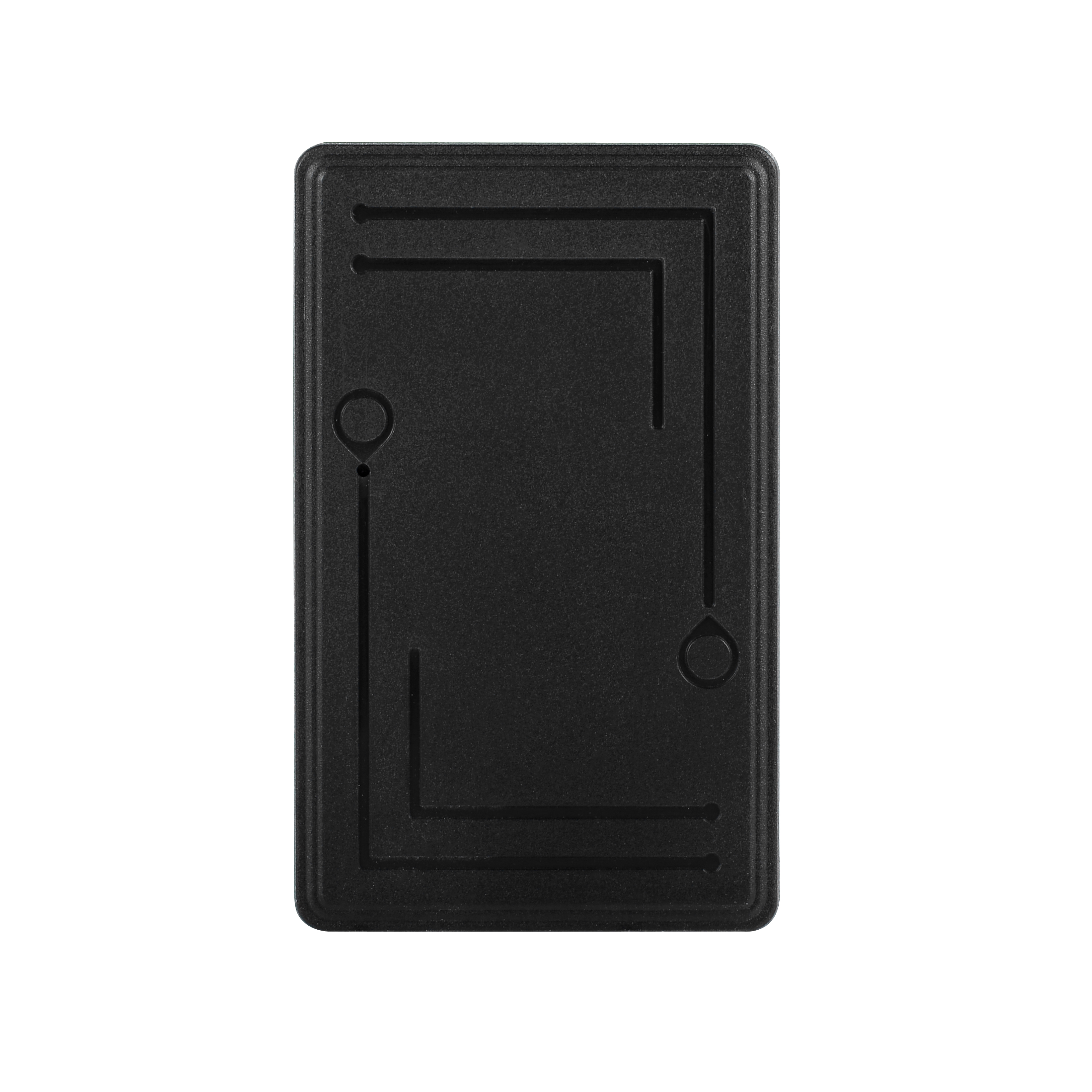
Simply put, GPS is a positioning system based on artificial Earth satellites. Since its inception, it has attracted numerous users with its high-precision, all-weather, global coverage, and conven...
GPS updates its coordinate information once a second, so it can record its own motion trajectory. Generally, GPS can record more than 1024 footprint points and display the movement trajectory at a...
GPS does not have the function of the northern needle, and it does not know the direction when it is still. But once it moves, it can know its movement direction. GPS updates the current location ...
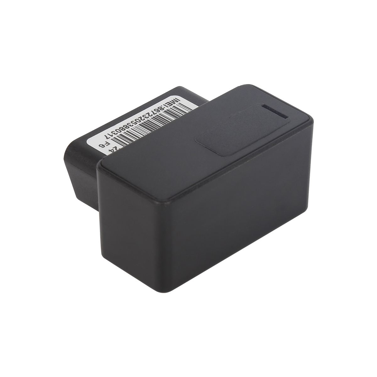
A coordinate value saved in GPS memory. When there is a GPS signal, press the "MARK" key to record the current point as a road sign. It has a default name like "LMK04". Enter w...
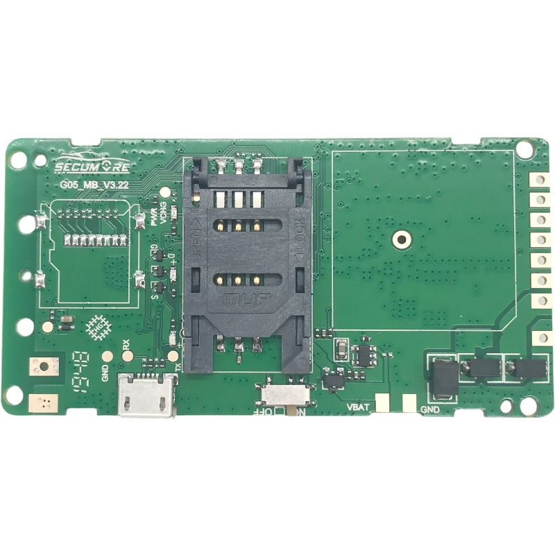
There are two -dimensional and 3 -dimensional coordinates that when GPS can receive signals of 4 or more satellites, it can calculate the local 3 -dimensional coordinates: longitude, latitude, hei...
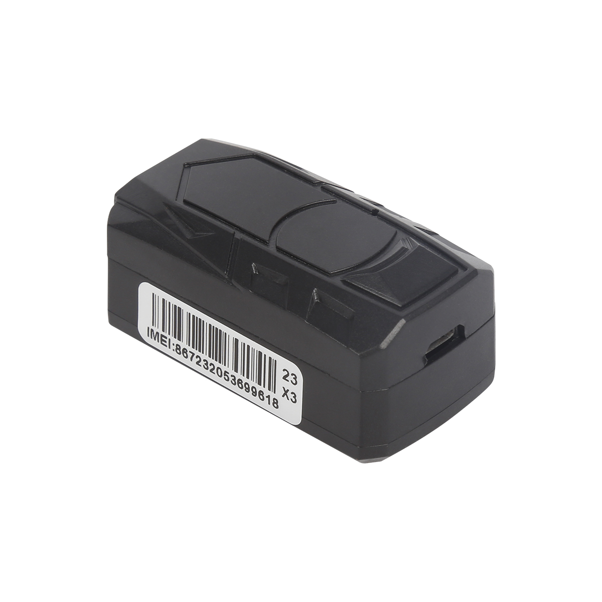
In addition to hardware, GPS needs to be supported by software maps. Each GPS navigation software, commonly known as GPS navigation software, is developed for different operating systems, or it wi...
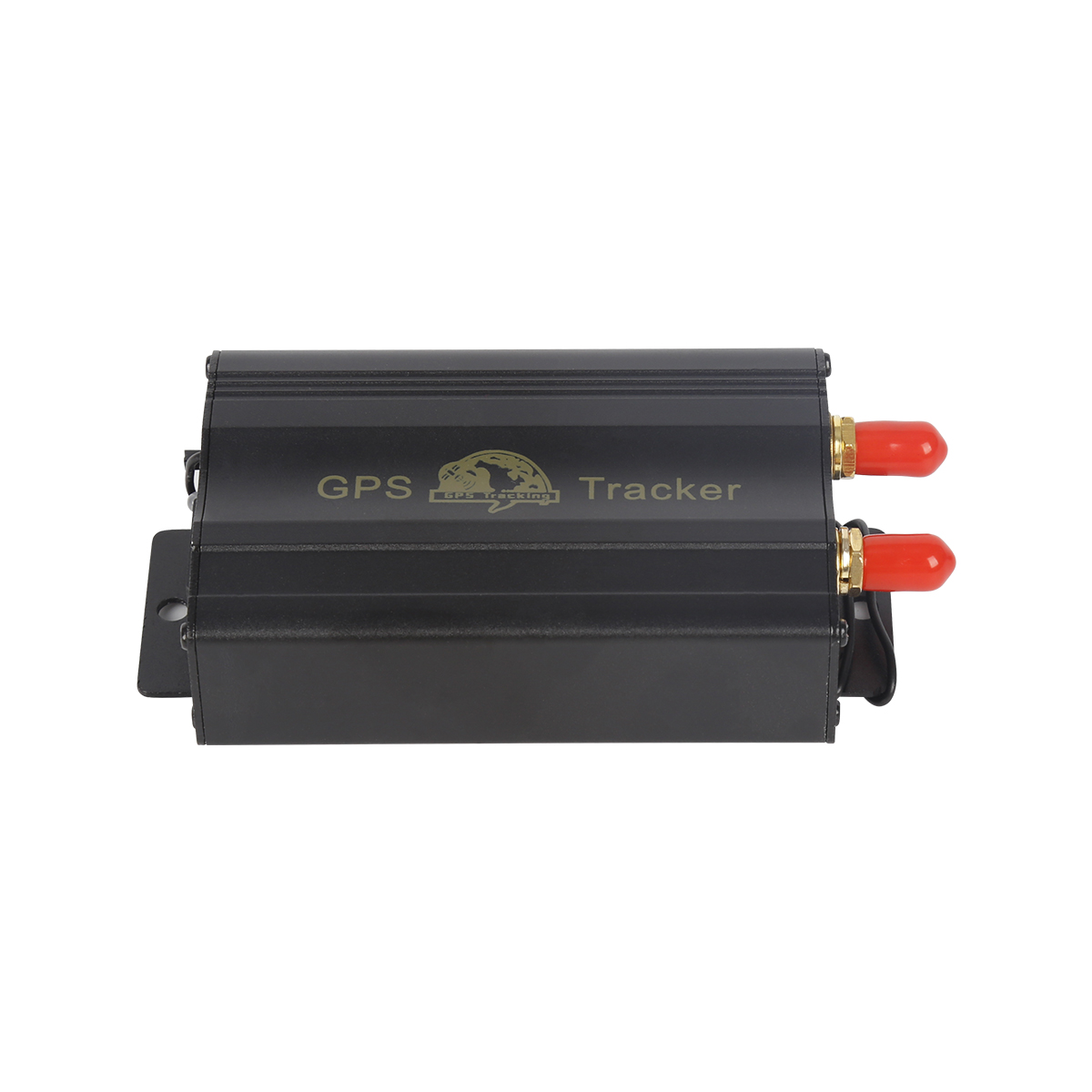
1. Look at the chip of the satellite signal receiving module is the first generation. This is an important component that determines the accuracy and speed of GPS. Choosing a backward chip means ...
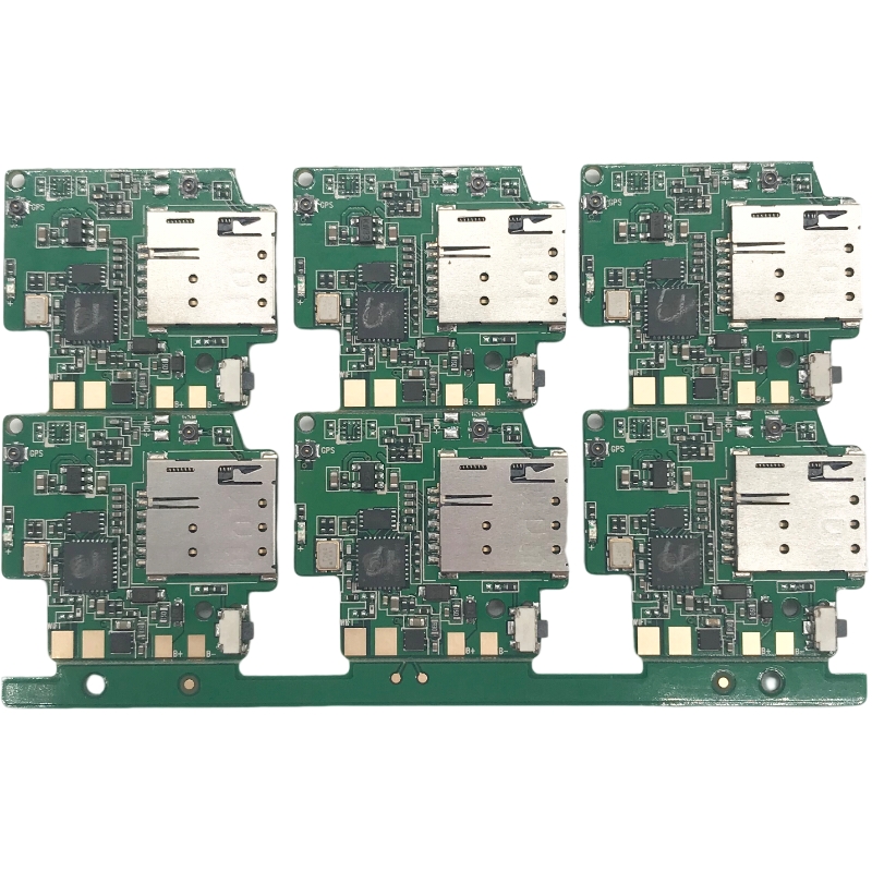
Fixed a search signal, do not walk, because walking GPS is not good for positioning. Open the machine to the navigation interface and click on the upper right corner of the navigation interface. ...
The electronic dog function in all GPS is the function of the navigation map, that is, the electronic dog map with an electronic dog in the machine. "Anti -Test Speed Radar is a state banned ...
alger.qin@6gpstracker.com
 Phone: +86 198 7412 0903
 Tel: +86 755 2370 2092
 WhatsApp: +86 198 7412 0903
 Add: FL5, BLDG B, Lianxing Industrial Park, JiangJun Rd, Qiuchang, HuiYang District, Huizhou, Guangdong, China
Copyright © Huizhou Cantrack Technology Co., Ltd. All Rights Reserved. Sitemap “仲达荣”商标为惠州市仲达荣科技有限公司所有


Product

About
Support
News
Contact Us







 Language













 EN
EN