
Most of the early real-time navigation information came from the cameras provided by the traffic control department to monitor the road information, but because of the limited access and open mode


source:Industry News release time:2022-07-19 Hits: Popular:realtime gps tracker online
Most of the early real-time navigation information came from the cameras provided by the traffic control department to monitor the road information, but because of the limited access and open mode, third-party navigation software companies could not fully realize real-time.
Nowadays, the loading rate of GPS locators is very high, and it is very easy to obtain data. Through the tens of thousands of traffic information reported by users every day, and the cooperation with the government and traffic management, the causes of congestion and traffic events such as accidents, control, and construction are almost covered, and then the map will adjust or remind the route in the navigation planning. GPS locators can be used as a source of real-time information on road conditions.
GPS locator floating car technology, also known as "probe car". According to the position, direction and speed information of the floating car equipped with the vehicle-mounted global positioning system, the position, direction and speed of the vehicle are regularly recorded during the driving process, and the relevant calculation models and algorithms such as map matching and path estimation are used for processing, so that the position data of the floating car and the urban road are processed. It is related in time and space, and finally the traffic congestion information such as the vehicle speed of the road that the floating car passes through and the travel time of the road are obtained. This method is very accurate when there are enough vehicles in an area.
Ultrasonic (radar) monitors can monitor the working conditions of road vehicles by transmitting wave-frequency signals at fixed points. They can mainly monitor traffic flow, occupancy, and vehicle presence. They are usually laid on highways and main roads.
The real-time road condition of the road is to transmit the data collected by the above technologies back to the background of the navigation system. After calculation and analysis, the real-time road condition is fed back to the user terminal. Usually, the traffic congestion is indicated by color: green means smooth, yellow means a little congested, red means Serious congestion.
Read recommendations:
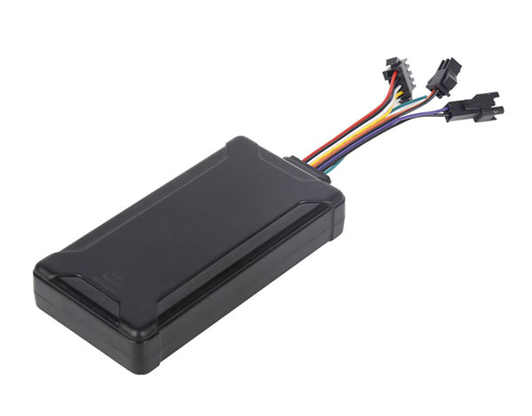
G900LS 8 Lines-4G Car GPS Tracker
Last article:Are more gps tracker features better?
Next article:GPS tracker is forced to have a relationship with car loan risk control!
Related Information
cantrack g05
2023-04-23fleet gps trackers Solution
2023-04-23obd2 tracker supplier
2023-03-16car gps tracker Processing
2023-04-23car gps tracker Factory
2023-04-11real-time gps tracking supplier
2023-04-23gps vehicle tracker manufacture
2023-04-23trailer gps tracker
2023-04-11personal gps tracker distributors
2023-03-16Pet GPS Tracker Manufacturing
2023-03-16TK200AM-Disposable GPS Tracker
2022-06-2110000mAh Magnetic Asset GPS Tracker
2026-04-29GF70L-Solar Magnetic Asset GPS Tracker
2026-04-2910000mAh Magnetic Asset GPS Tracker
2026-04-29G900LS 8 Lines-4G Car GPS Tracker
2026-04-29Introduction to GPS World
2022-10-25What are the information methods sent by GPS reference stations.gps tracker app Manufacturing
2023-06-14Compared to the advantages of GPS car navigation and mobile phone navigation.GPS Tracker for vehicle
2023-05-09Composition of GPS PXI acquisition equipment system
2022-11-11Beidou GPS Navigation System - Future development
2022-10-20How to help the GPS positioner help take care of the elderly and children?Car gps Solution
2023-02-18GPS signal.
2022-12-05GPS Principles.Pet GPS Tracker manufacturer
2023-07-14How to use GPS car tracker.realtime gps tracker online wholesale
2023-04-15GPS receiver
2023-02-07GPS positioner type installed on the mortgage vehicle.fleet solution webfleet solutions
2023-03-22How to find the GPS locator on the car?obd2 gps tracker verizon supplier
2023-03-16GPS application range.gps tracker app Processing
2023-05-25GPS cannot search for satellite signal problems.plug & play Obd gps tracker distributors
2023-04-12GPS military application.plug & play Obd gps tracker distributors
2023-04-24Related Articles

A suitable global GPS tracker manufacturer should provide multi-band 4G LTE Cat 1 devices, confirm network compatibility for the destination market, and support GPS tracking platforms, APIs, OEM/O...

A reliable GPS tracker manufacturer should provide stable 4G real-time tracking, accurate multi-mode positioning, a wide range of device types, fleet and asset management functions, OEM/ODM customizat...

Firstly, let's take a look at why GPS locators are inaccurate and have large errors. GPS positioning accuracy, generally within 10 meters if obtaining Beidou or GPS signals; If it is a signal...

GPS differential positioning technology is an important method to improve the positioning accuracy of the Global Positioning System (GPS). In traditional GPS positioning, satellite signals are af...

Vehicle GPS Navigation System Vehicle mounted GPS navigation system is an indispensable and important device in modern automobiles, providing drivers with convenient and accurate navigation service...

Handheld GPS positioning device is a portable and practical positioning tool widely used in outdoor exploration, geological exploration, forestry investigation and other fields. Handheld GPS posi...
alger.qin@6gpstracker.com
 Phone: +86 198 7412 0903
 Tel: +86 755 2370 2092
 WhatsApp: +86 198 7412 0903
 Add: FL5, BLDG B, Lianxing Industrial Park, JiangJun Rd, Qiuchang, HuiYang District, Huizhou, Guangdong, China
Copyright © Huizhou Cantrack Technology Co., Ltd. All Rights Reserved. Sitemap “仲达荣”商标为惠州市仲达荣科技有限公司所有


Product

About
Support
News
Contact Us


 Language


 EN
EN