
24 GPS satellites operate at an altitude of 20,200 kilometers above the ground, making it possible to observe more than 4 satellites simultaneously at any point on the ground at any time. Since the

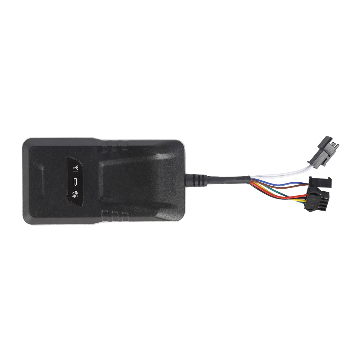
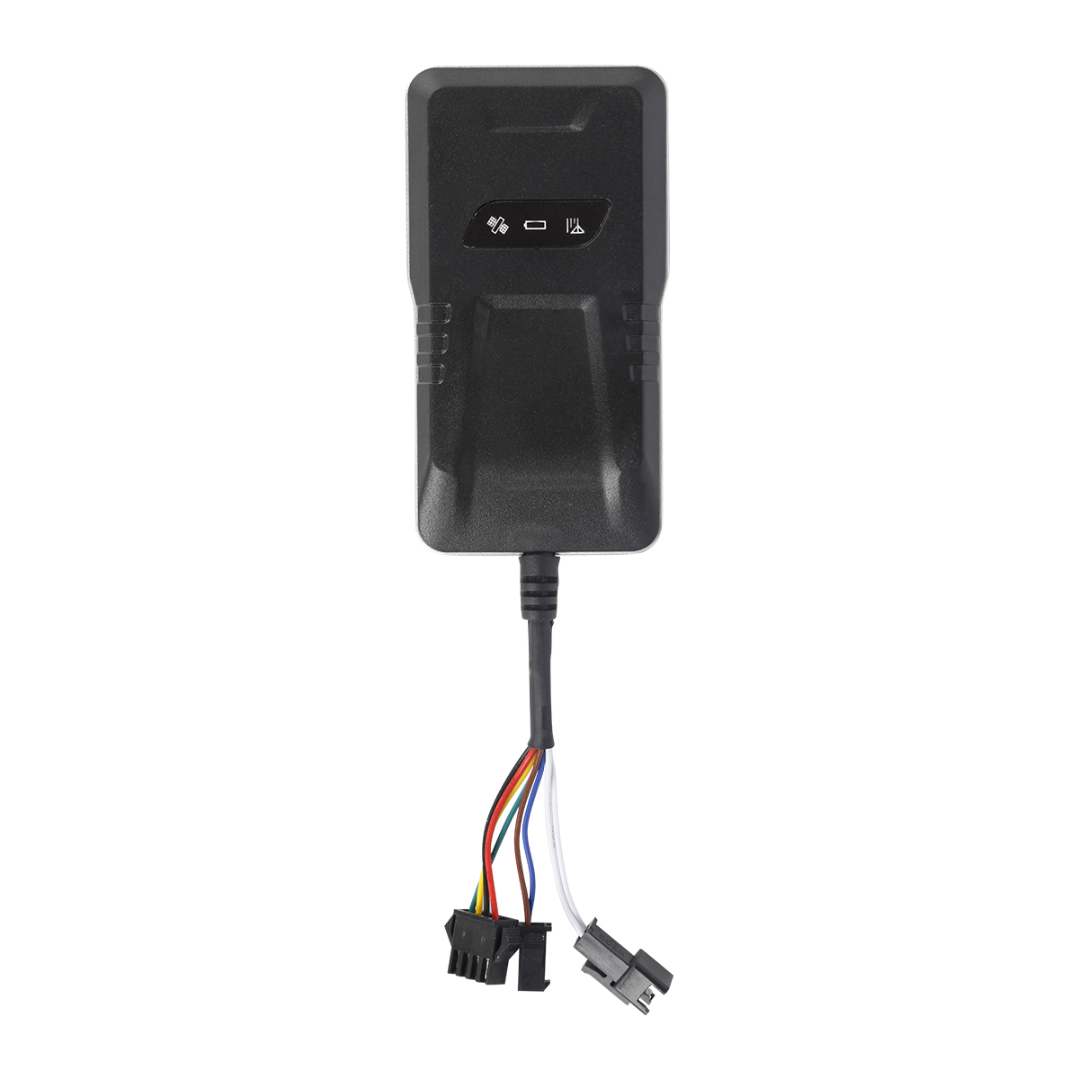
source:Industry News release time:2022-07-23 Hits: Popular:realtime gps tracker online
24 GPS satellites operate at an altitude of 20,200 kilometers above the ground, making it possible to observe more than 4 satellites simultaneously at any point on the ground at any time.
Since the position of the satellites is accurate, we can obtain the distance from the satellite to the receiver in GPS observation. Using the distance formula in the three-dimensional coordinates and using three satellites, three equations can be formed to solve the position of the observation point (X , Y, Z). Considering the error between the satellite's clock and the receiver's clock, there are actually 4 unknowns, X, Y, Z and the clock difference, so it is necessary to introduce a fourth satellite to form 4 equations to solve, so as to obtain the observation point's Latitude and longitude and elevation.
In fact, the receiver can often lock more than 4 satellites. At this time, the receiver can be divided into several groups according to the constellation distribution of the satellites, each group has 4 satellites, and then the group with the smallest error is selected by the algorithm for positioning, thereby Improve accuracy.
Due to errors in satellite orbits and satellite clocks, the influence of the atmospheric troposphere and ionosphere on signals, and the artificial SA protection policy, the positioning accuracy of civilian GPS is only 100 meters. In order to improve the positioning accuracy, differential GPS (DGPS) technology is generally used to establish a base station (differential station) for GPS observation, and use the known precise coordinates of the base station to compare with the observed value to obtain a correction number and publish it to the outside world. . After receiving the correction number, the receiver compares it with its own observation value, eliminates most of the errors, and obtains a relatively accurate position. Experiments show that using differential GPS, the positioning accuracy can be improved to 5 meters
Read recommendations:
personal gps tracker Production
What are the precautions for using the Beidou car GPS?plug & play Obd gps tracker Production
The concept and composition of the car positioning terminal.gps tracker no monthly fee wholesaler
Last article:GPS navigation function
Related Information
Dog gps tracker price
2023-04-234G GPS Tracker distributors
2023-04-23Pet GPS Tracker distributors
2023-03-16gps vehicle tracker Factory
2023-04-23pet gps tracker cat custom
2023-04-23gps vehicle tracking
2023-03-164G GPS Tracker for vehicles Processing
2023-04-23car gps tracker price
2023-04-11gps tracker no monthly fee supplier
2023-03-16GPS Tracking
2023-04-1110000mAh Magnetic Asset GPS Tracker
2025-04-08G02M Pet Tracker
2022-06-19G900LM J16-4G Car GPS Tracker
2026-04-29P02L Smart Walkie-Talkie Tracker
2026-04-04G900LS 8 Lines-4G Car GPS Tracker
2026-04-29What are the basic features of GPS module at vehicle gauge level
2022-11-22GPS navigation satellite has a high-precision atomic clock for time service
2022-11-25GPS module
2022-10-19Brief analysis of functions of vehicle positioning system.vehicle gps tracker webfleet solutions
2023-03-13Requirements for logistics tracking and monitoring
2022-12-01Introduction to the Functions of GPS/Beidou Satellite Positioning Vehicle Travel Recorder.Car gps tr
2023-09-05Bluetooth GPS Technology Features.gps tracker für auto webfleet solutions
2023-08-04Navigation editor introduces the usage method of driving recorder.gps tracker for kids supplier
2023-06-26Surgical characteristics of the new technology GPS scheme
2022-10-15The principle of GPS indoor positioning technology
2022-08-12GPS system performance index
2023-02-09How to apply GPS positioner to view the location of the electric vehicle
2023-03-06GPS positioner manufacturer compare which accuracy of Beidou and GPS positioning is higher.obd2 gps
2023-05-06Introduce how to use the car navigation instrument.gps tracker with magnet distributors
2023-05-10Beidou Navigation system-GPS system composition and working principle
2022-10-20Related Articles

A reliable GPS tracker manufacturer should provide stable 4G real-time tracking, accurate multi-mode positioning, a wide range of device types, fleet and asset management functions, OEM/ODM customizat...

Firstly, let's take a look at why GPS locators are inaccurate and have large errors. GPS positioning accuracy, generally within 10 meters if obtaining Beidou or GPS signals; If it is a signal...

GPS differential positioning technology is an important method to improve the positioning accuracy of the Global Positioning System (GPS). In traditional GPS positioning, satellite signals are af...

Vehicle GPS Navigation System Vehicle mounted GPS navigation system is an indispensable and important device in modern automobiles, providing drivers with convenient and accurate navigation service...

Handheld GPS positioning device is a portable and practical positioning tool widely used in outdoor exploration, geological exploration, forestry investigation and other fields. Handheld GPS posi...
In modern society, high-precision GPS locators play a crucial role. It has brought many conveniences to people's lives and work with its excellent positioning accuracy and reliable performance...
alger.qin@6gpstracker.com
 Phone: +86 198 7412 0903
 Tel: +86 755 2370 2092
 WhatsApp: +86 198 7412 0903
 Add: FL5, BLDG B, Lianxing Industrial Park, JiangJun Rd, Qiuchang, HuiYang District, Huizhou, Guangdong, China
Copyright © Huizhou Cantrack Technology Co., Ltd. All Rights Reserved. Sitemap “仲达荣”商标为惠州市仲达荣科技有限公司所有


Product

About
Support
News
Contact Us


 Language


 EN
EN

