
The essence of satellite-to-satellite tracking (SST) technology is to measure the distance change between two satellites with high resolution. The former category is high-orbit satellites (such as

source:Industry News release time:2022-08-02 Hits: Popular:realtime gps tracker online
The essence of satellite-to-satellite tracking (SST) technology is to measure the distance change between two satellites with high resolution. The former category is high-orbit satellites (such as geostationary satellites, GPS satellites, etc.) tracking low-orbit (LEO) satellites or space vehicles, and the latter category is between 2 satellites in roughly the same low-orbit (LEO) orbit. Tracking, the distance between two satellites can be hundreds of kilometers. Both types of SST technologies use LEO satellites as sensors of the earth's gravity field, and use a one-way or two-way microwave ranging system between satellites to measure the relative speed and variation between satellites. Rate. The information reflected by this irregular speed change contains the information of the earth's gravitational field. The lower the satellite orbit is, the more obvious the influence of this velocity change is by the gravitational field, and the higher the resolution of the reflected gravitational field.
Among these two types of SST technologies, the information obtained by high and low satellite tracking is relatively rich, because:
High-orbit satellites, especially multiple high-orbit satellites (such as GPS), can obtain the information transmitted by low-orbit satellites in most orbits; (2) The medium-wave, long-wave, and short-wave information of the ground gravity field can be recovered; (3) Unlike low-orbit satellites, high-orbit satellites are less affected by the gravitational field, so the change in velocity between satellites can better reflect the information of the gravitational field, and the orbits of high-orbit satellites are easier to accurately determine.
The first test of SST technology was carried out in 1975. The high-orbit satellite is the geostationary satellite (GEO) ETS-6, and the low-orbit satellite is NIMBUS-6 and APOLLO-SYYUS. The accuracy was too low (less than 10μm/s), and no satisfactory results were obtained, so NASA abandoned this research; until 1991, the experiment was carried out again using GPS satellites as high-orbit satellites, and LANDSAT was used as low-orbit satellites. , install a GPS receiver on the satellite plane to conduct orbit determination and test the distance between high and low satellites and their variability. The resolution and accuracy are not high, and there are no satisfactory results; the CHAMP, GRACE and GOCE 3 satellites launched by the European Space Agency (ESA) under the auspices of Germany (GFZ) will be dedicated in the next 10 years. Experimentation of SST and Satellite Gravitational Gradient Measurement (SGG) to improve the understanding of Earth's gravitational field.
Read recommendations:
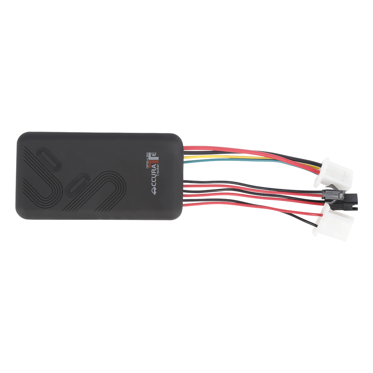
6000mAh Magnetic Asset GPS Tracker
Next article:GPS application in ionospheric monitoring
Related Information
real-time gps tracking supplier
2023-04-23Best hidden gps trackers
2023-04-11fleet gps trackers sales
2023-04-234G GPS Tracker Processing
2023-04-23Cantrack G05
2023-03-16fleet gps trackers
2023-04-23Hidden GPS Trackers
2023-04-11GPS Tracker price
2023-04-11trailer gps tracker custom
2023-04-23pet gps tracker cat wholesale
2023-03-163 Years Disposable Asset GPS Tracker
2026-04-294G Wired GPS Tracker PCBA
2022-06-174G OBD2 GPS Tracker
2026-04-044G OBD2 GPS Tracker
2026-04-29G900LS 8 Lines-4G Car GPS Tracker
2026-04-29Beidou Satellite Positioner.hang tag button manufacture
2023-06-06What are the advantages of 4G positioner.realtime gps tracker online Production
2023-03-28Covertly installed gps tracker just doesn't need wiring!
2022-07-20GPS components
2022-11-19GPS locator installation
2022-10-27gps vehicle tracker.What happens if GPS fails?
2023-11-09GPS guidance (Bearing)
2022-11-23Two Point Application of GPS.obd2 gps tracker verizon manufacturer
2023-08-01GPS satellite positioning is an inevitable trend
2023-02-23What is the difference between vehicle GPS positioning system and vehicle management system?GPS Trac
2023-03-28GPS personal positioning
2022-12-15Why is the GPS tracker inaccurate?
2022-09-16Gps speed limiter.The world's four major satellite positioning and navigation systems
2023-10-19Origin of GPS development
2022-12-29GPS prevention of car stolen
2023-02-07Related Articles

A suitable global GPS tracker manufacturer should provide multi-band 4G LTE Cat 1 devices, confirm network compatibility for the destination market, and support GPS tracking platforms, APIs, OEM/O...

A reliable GPS tracker manufacturer should provide stable 4G real-time tracking, accurate multi-mode positioning, a wide range of device types, fleet and asset management functions, OEM/ODM customizat...

Firstly, let's take a look at why GPS locators are inaccurate and have large errors. GPS positioning accuracy, generally within 10 meters if obtaining Beidou or GPS signals; If it is a signal...

GPS differential positioning technology is an important method to improve the positioning accuracy of the Global Positioning System (GPS). In traditional GPS positioning, satellite signals are af...

Vehicle GPS Navigation System Vehicle mounted GPS navigation system is an indispensable and important device in modern automobiles, providing drivers with convenient and accurate navigation service...

Handheld GPS positioning device is a portable and practical positioning tool widely used in outdoor exploration, geological exploration, forestry investigation and other fields. Handheld GPS posi...
alger.qin@6gpstracker.com
 Phone: +86 198 7412 0903
 Tel: +86 755 2370 2092
 WhatsApp: +86 198 7412 0903
 Add: FL5, BLDG B, Lianxing Industrial Park, JiangJun Rd, Qiuchang, HuiYang District, Huizhou, Guangdong, China
Copyright © Huizhou Cantrack Technology Co., Ltd. All Rights Reserved. Sitemap “仲达荣”商标为惠州市仲达荣科技有限公司所有


Product

About
Support
News
Contact Us


 Language


 EN
EN

