
Three-dimensional navigation is the primary function of GPS. Aircraft, ships, ground vehicles and pedestrians can all use GPS navigators to navigate. The car navigation system is a new technology



 Home > News > Industry News > Application of GPS in Car Navigation and Traffic Management
source:Industry News release time:2022-07-26 Hits: Popular:realtime gps tracker online
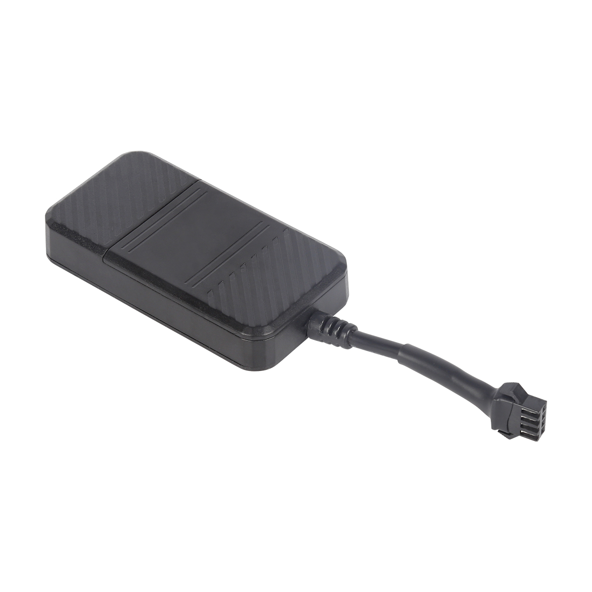
Three-dimensional navigation is the primary function of GPS. Aircraft, ships, ground vehicles and pedestrians can all use GPS navigators to navigate. The car navigation system is a new technology developed on the basis of the global positioning system GPS. The car navigation system consists of GPS navigation, autonomous navigation, microprocessor, vehicle speed sensor, gyro sensor, CD-ROM drive, and LCD display. The combination of GPS navigation system and electronic map, radio communication network and computer vehicle management information system can realize many functions such as vehicle tracking and traffic management.
(1) Vehicle tracking
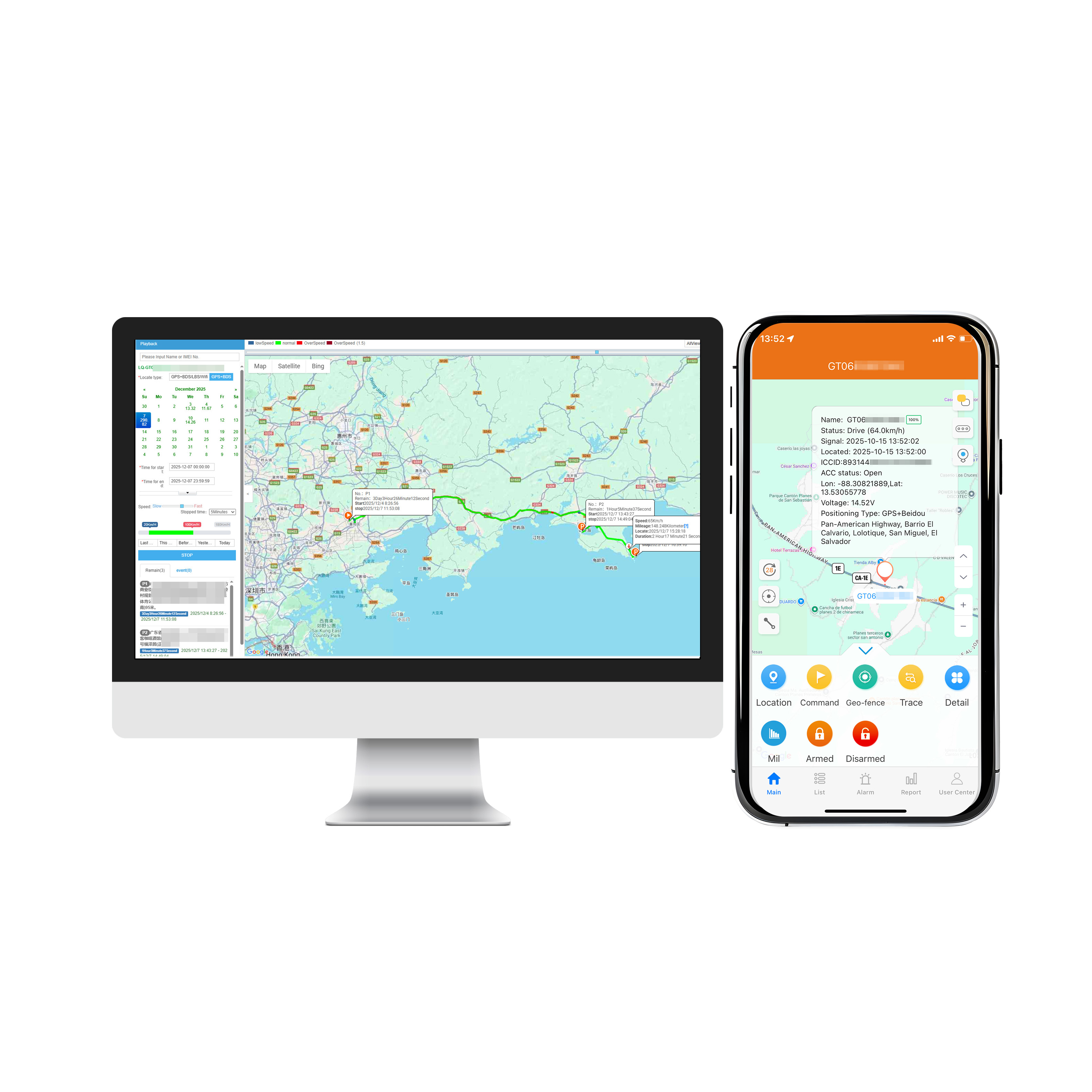
Using GPS and electronic map, the actual position of the vehicle can be displayed in real time, and can be zoomed in, zoomed out, restored, and changed at will; it can move with the target to keep the target on the screen; it can also realize multi-window, multi-vehicle, multi-screen track at the same time. Use this function to track and transport important vehicles and goods.
(2) Provide travel route planning and navigation
Providing travel route planning is an important auxiliary function of the car navigation system, which includes automatic route planning and manual route design. The automatic route planning is that the driver determines the starting point and destination, and the computer software automatically designs the optimal driving route according to the requirements, including the calculation of the fastest route, the easiest route, and the route with the least number of highway sections. In manual route design, the driver designs the starting point, ending point and waypoint according to his own destination, and automatically establishes a route library. After the route planning is completed, the display can display the designed route on the electronic map, and at the same time display the vehicle running path and running method.
(3) Information query
Provide users with databases of main objects, such as tourist attractions, hotels, hospitals, etc., users can display their positions on the electronic map. At the same time, the monitoring center can use the monitoring console to query the location of any target in the area, and the vehicle information will be displayed on the electronic map of the control center in digital form.
(4) Traffic command
The command center can monitor the running status of vehicles in the area and make reasonable scheduling of the monitored vehicles. The command center can also communicate with the tracked target at any time to implement management.
(5) Emergency assistance
Through the GPS positioning and monitoring management system, emergency assistance can be provided to vehicles in danger or accidents. The electronic map of the monitoring station displays the help information and the alarm target, plans the optimal assistance plan, and reminds the on-duty personnel to carry out emergency treatment with alarm sound and light.
Read recommendations:
G900LS 8 Lines-4G Car GPS Tracker
GPS module NMEA0183 standard statement.portable gps tracker Factory
Next article:Other applications of GPS
Related Information
fleet gps tracking
2023-04-11mileage tracking webfleet solutions
2023-03-164G GPS Tracker company
2023-04-23Pet GPS Tracker wholesaler
2023-03-16fleet tracking webfleet solutions
2023-03-16car gps tracker Production
2023-04-23GPS Tracker for vehicles Manufacturing
2023-03-16GPS Tracker Vendor
2023-04-114G GPS Tracker for vehicles supplier
2023-04-23gps vehicle tracker Factory
2023-04-11TK100N- Multi functional GPS Tracker
2023-10-0610000mAh Magnetic Asset GPS Tracker
2026-04-29G02M Pet Tracker
2022-06-19G09L -6 inch Tail light tracker
2022-06-20G01 Smallest Personal Old People Mini GPS Tracker for Kids
2022-06-19Talk about the advantage of the use of pet smart positioner.realtime gps tracker online manufacture
2023-03-10GPS positioning principle
2022-11-26GPS navigation satellite has a high-precision atomic clock for time service
2022-11-25How to realize the function of GPS monitoring system?
2022-12-12What are the costs of buying GPS positioner?obd-II port gps tracker manufacturer
2023-04-06Features of GPS
2023-02-17The introduction of GPS in the field of logistics.gps tracker no monthly fee Production
2023-05-06Design scheme of logistics tracking system
2022-11-22GPS management system-efficient management of your vehicle
2023-02-16Where is the car GPS positioner?
2023-02-22Why does a rechargeable GPS positioning tracker go offline as soon as it stops.car gps tracker
2023-09-21GPS parameter.Gps speed limiter Solution
2023-05-25Here, I want to talk about how to use the GPS receiver practically.
2022-11-26Simulator test GPS
2022-10-10Civil GPS
2022-12-28Related Articles
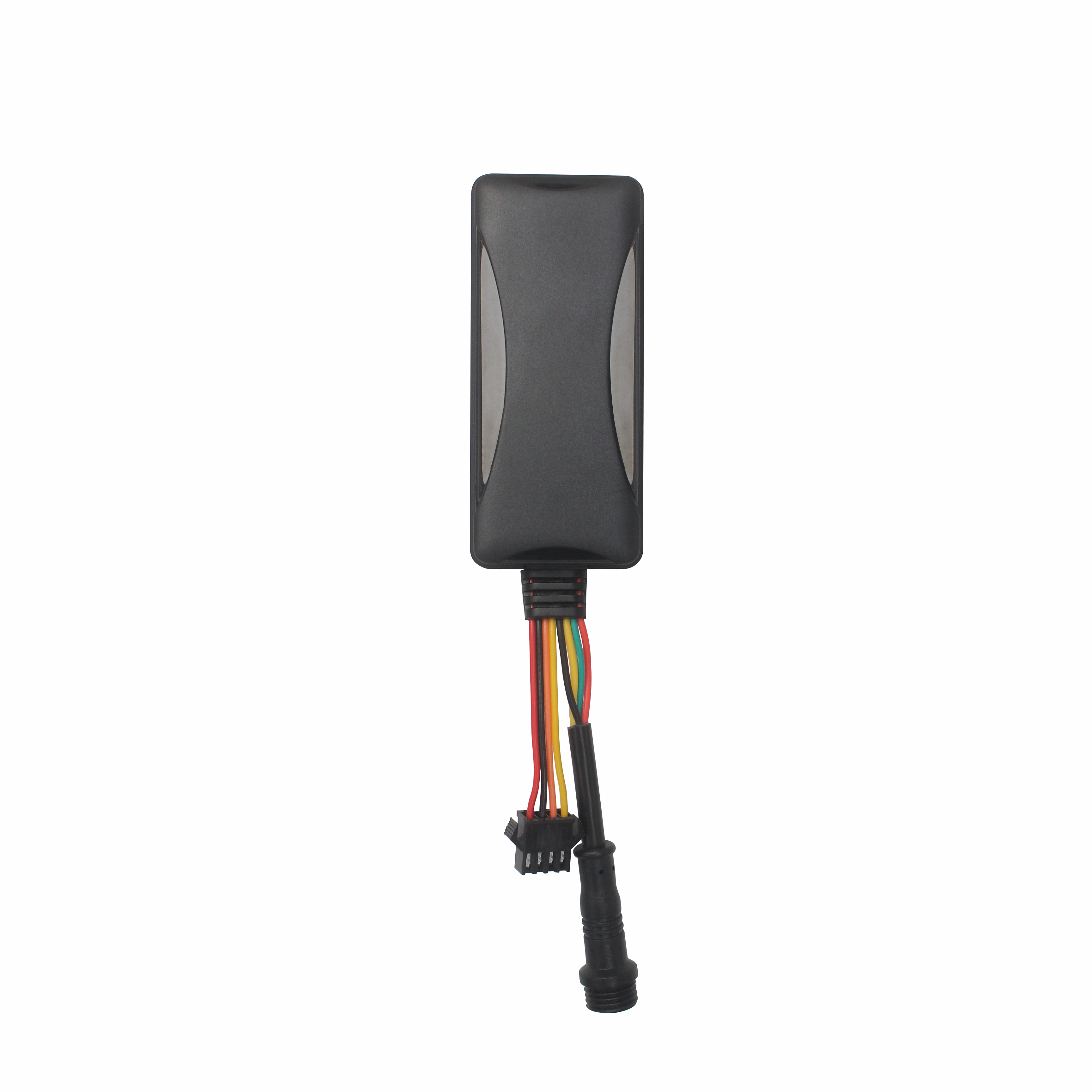
The Best GPS Tracker Depends on Your Vehicle Tracking GoalThe best vehicle GPS tracker depends on what you want to achieve, such as anti-theft protection, real-time location monitoring, fleet manageme...
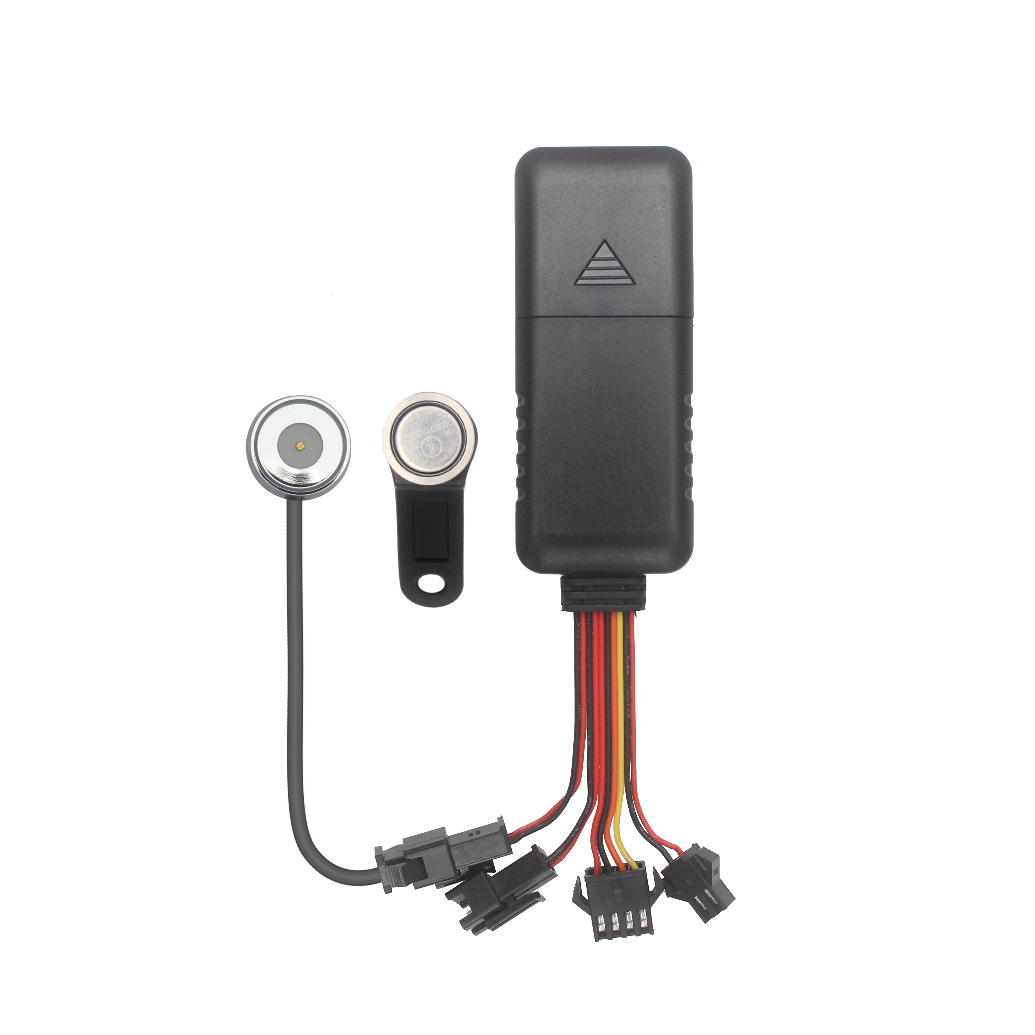
What Is the Best GPS Tracker for Car Anti-Theft and Real-Time Tracking?The best GPS tracker for car anti-theft depends on your vehicle security objectives. A proper solution should deliver reliable po...

Choosing the Right GPS Tracker Starts With Your Asset EnvironmentA suitable GPS tracker for trailers and outdoor assets depends on power availability, deployment duration, tracking frequency and envir...
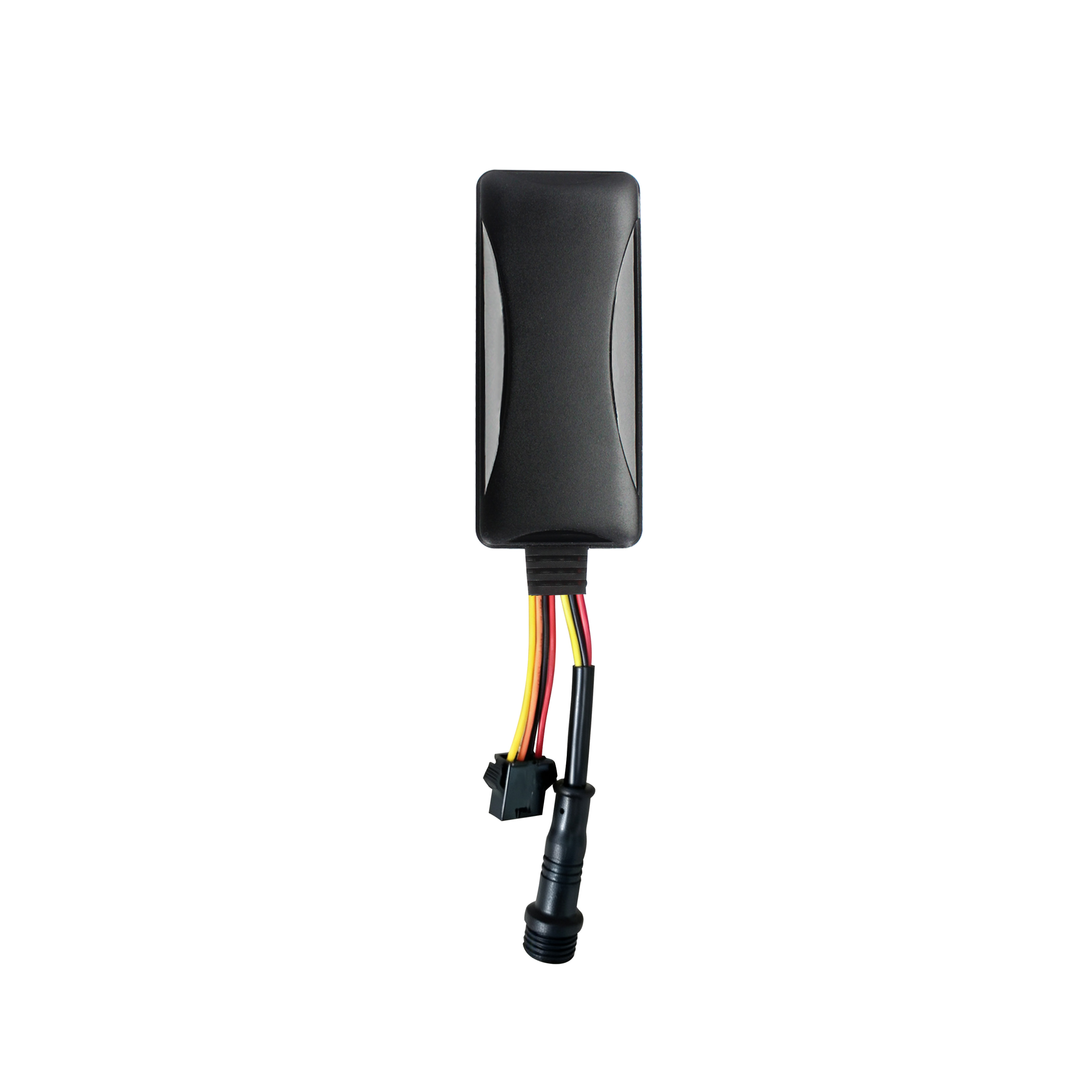
Cantrack Technology serves over 11,000 overseas customers, shipping millions of trackers annually, and keeping more than 3 million devices online worldwide. As competition grew, Cantrack evolved it...
A Reliable Fleet Tracking Solution Is More Than a GPS DeviceFleet operators are rarely asking only whether a GPS tracker can show vehicle location. They need reliable monitoring, unauthorized-use aler...

Buying GPS Trackers in Bulk Is More Than Comparing Unit PriceA GPS tracker order can look affordable on a quotation sheet and still become expensive after deployment. The real cost appears when device...
alger.qin@6gpstracker.com
 Phone: +86 198 7412 0903
 Tel: +86 755 2370 2092
 WhatsApp: +86 198 7412 0903
 Add: FL5, BLDG B, Lianxing Industrial Park, JiangJun Rd, Qiuchang, HuiYang District, Huizhou, Guangdong, China
Copyright © Huizhou Cantrack Technology Co., Ltd. All Rights Reserved. Sitemap “仲达荣”商标为惠州市仲达荣科技有限公司所有


Product

About
Support
News
Contact Us







 Language












 EN
EN