
Satellite positioning is to locate by receiving latitude coordinate signals provided by the satellite. The satellite positioning systems are mainly: the United States Global Positioning Department



 Home > News > Other information > truck tracking webfleet solutions > GPS satellite positioning
source:truck tracking webfleet solutions release time:2023-02-15 Hits: Popular:realtime gps tracker online
Satellite positioning is to locate by receiving latitude coordinate signals provided by the satellite. The satellite positioning systems are mainly: the United States Global Positioning Department (GPS), Glonass (Glonass), European Galileo system, and China Beidou satellite navigation The system, wherein the GPS system is the most widely used satellite positioning technology at this stage.
GPS global satellite positioning system consists of three parts: space parts, ground control parts, and user equipment parts.
The space part is composed of 24 working satellites. They are evenly distributed on the 6 orbit planes (4 per track surface). The geometric image that can maintain good positioning and solve precision;
The control part is mainly composed of monitoring stations, main control stations, backup main stations, and information injection stations. It is mainly responsible for the management and control of the GPS satellite formation;
The user device part is mainly the GPS receiver. The main function is to receive the signal of the GPS satellite emission, obtain positioning information and observation capacity, and to achieve positioning by data processing.
The positioning principle of GPS is to determine the location of the GPS receiver through the four known positions.
To achieve this purpose, the position of the satellite can be found in the satellite star calendar according to the time recorded by the Star Hall. The distance from the user to the satellite is transmitted to the time of the user through the record satellite signal, and then multiply it at the speed of light (due to the interference of the ionization layer of the atmosphere, this distance is not the true distance between the user and the satellite, but it is, but it, but it is, but it is not the real distance between the user and the satellite, but it is, but it is not the real distance between the user and the satellite. Pseudorange).
When the GPS satellite works normally, the pseudo -random code (referred to as a pseudo -code) composed of 1 and 0 binary code elements will be continuously launched. Navigation electricity includes information such as satellite stars, working conditions, clock correction, ionization delay correction, and atmospheric refraction correction and other information. However, because the clock used by the user's receiving aircraft is not always synchronized with the satellite star shot clock, in addition to the user’s three -dimensional coordinates X, Y, and Z, the time difference between a variable T is the time difference between the satellite and the receiver as the unknown. Then use 4 equations to solve these 4 unknown counts. So if you want to know the location of the receiver, at least you must receive signals of 4 satellites.
Read recommendations:
fleet management software webfleet solutions
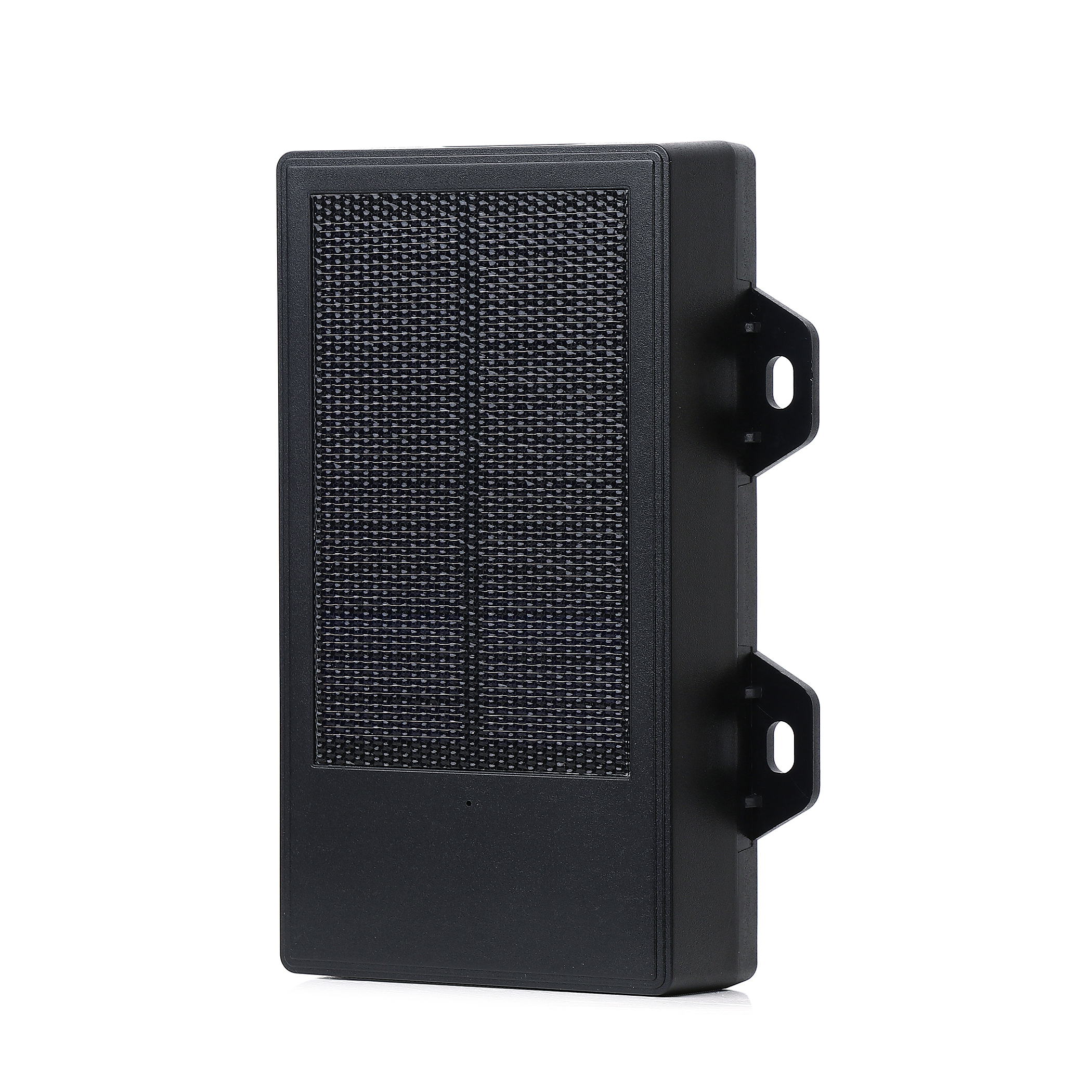
6000mAh Magnetic Asset GPS Tracker
GPS positioning manufacturers introduce the composition of satellite positioning systems.Dog gps tra
Last article:GPS base station positioning
Next article:China Beidou will provide positioning and alarm services to the world
Related Information
Pet GPS Tracker custom
2023-04-11pet gps tracker cat wholesale
2023-03-16Dog gps tracker wholesaler
2023-04-23gps tracker for bike Factory
2023-04-23Dog gps tracker Production
2023-04-23fleet management software webfleet solutions
2023-03-16fleet gps tracking Factory
2023-04-23gps vehicle tracker Processing
2023-04-23car gps tracker price
2023-04-23gps vehicle tracking
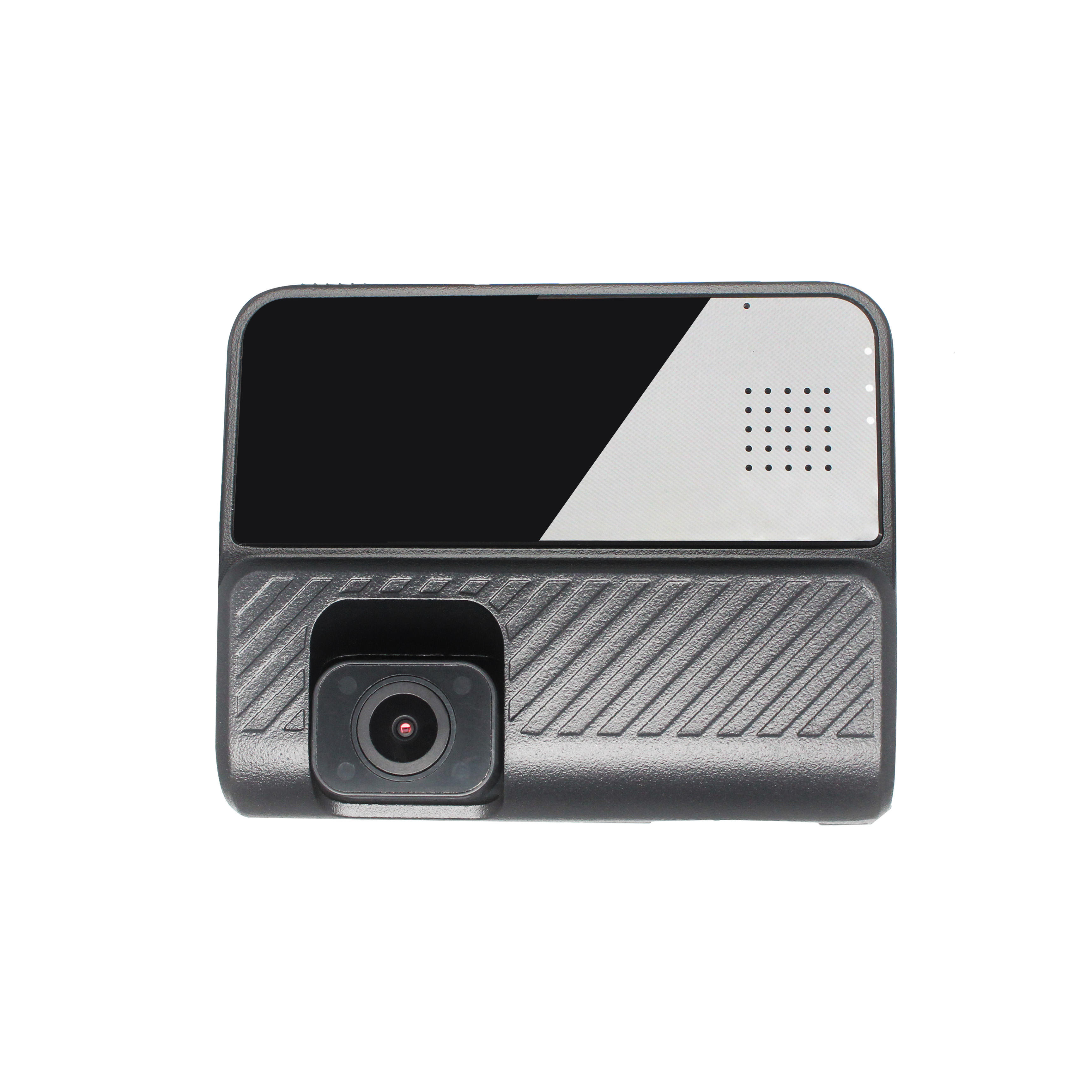
2023-03-16GPS Dash Cam
2026-04-29G900LM J16-4G Car GPS Tracker
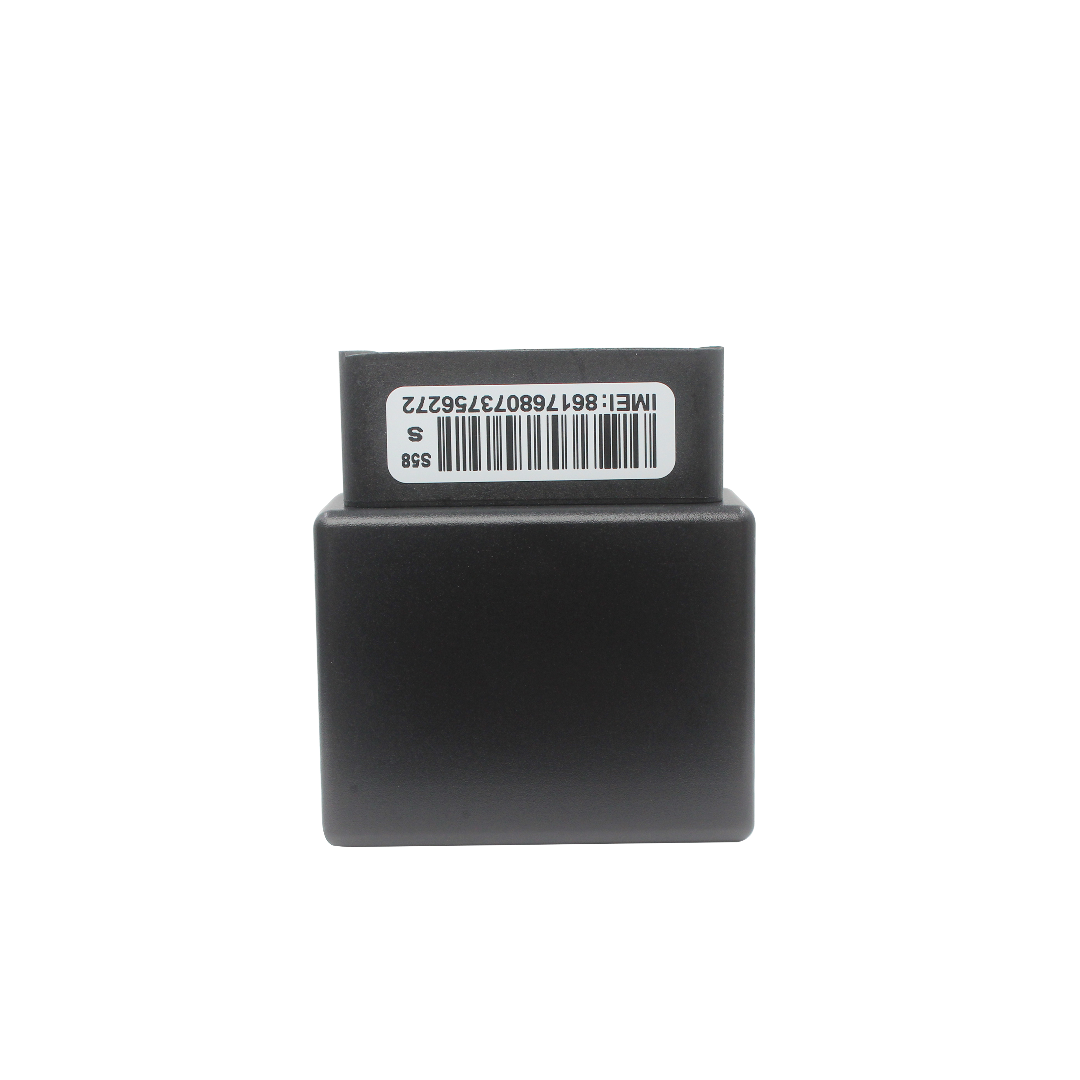
2026-04-29G183 serials -JOBD GPS Tracker
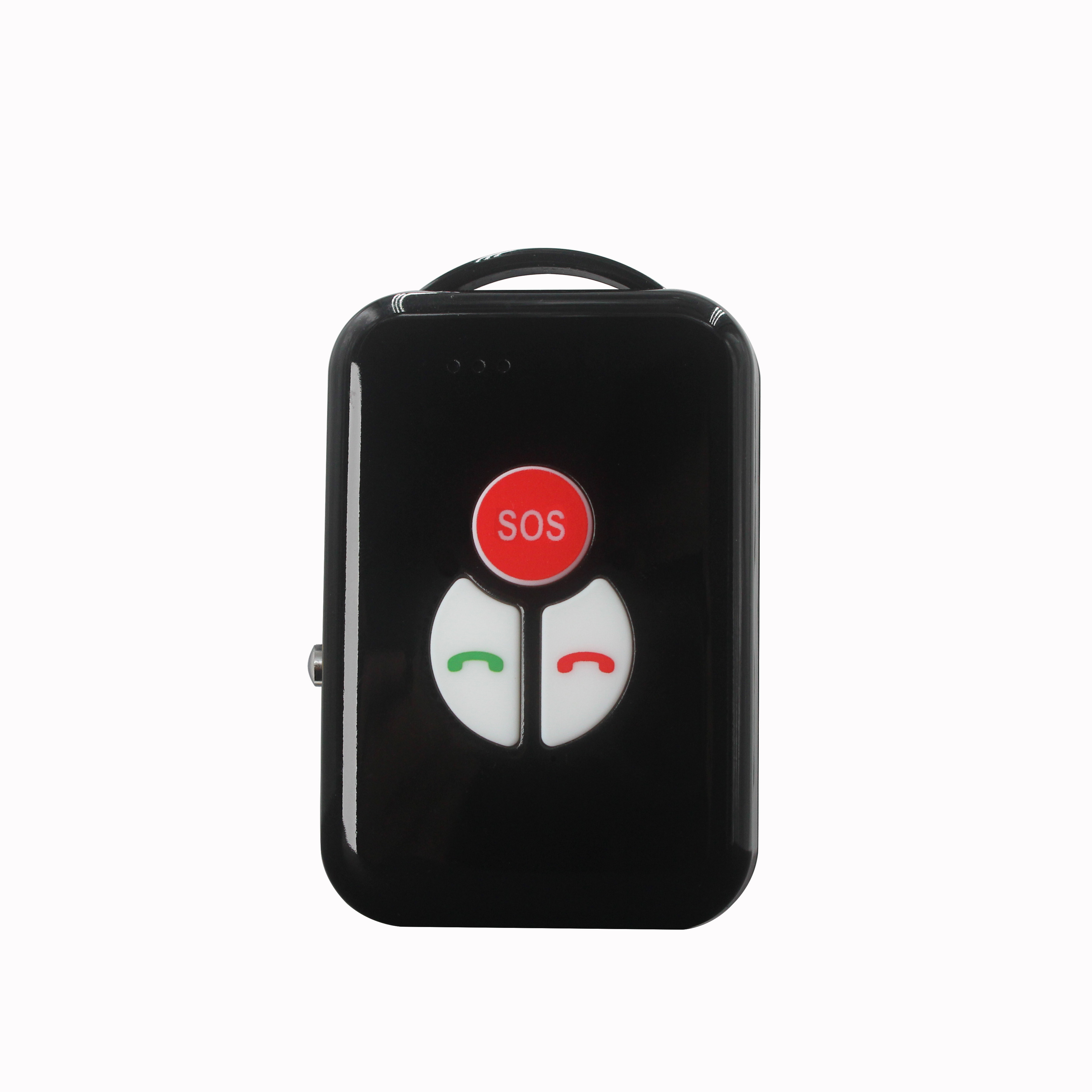
2022-09-06P901 4G ID Card GPS Tracker Smart Walkie-talkie
2025-07-11P901 4G ID Card GPS Tracker Smart Walkie-talkie
2026-04-29The application of GPS in the traffic system.plug & play Obd gps tracker Manufacturing
2023-04-23China's Beidou GPS system
2022-10-26Vehicle GPS positioning management system
2022-11-04GPS scheme from hard to soft.obd-II port gps tracker Production
2023-05-23Overview of GPS Vehicle Positioning System
2022-07-12Gps speed limiter.Basic knowledge and performance indicators of automotive GPS locators
2023-11-09This product focuses on humanized design to minimize the false alarm rate.
2022-12-15What are the costs of buying GPS positioner?obd-II port gps tracker manufacturer
2023-04-06mini gps tracker.Introduction to the main functions of enterprise users choosing car GPS satellite p
2023-11-11Global Navigation Satellite System
2022-11-04GPS monitoring service platform.car gps tracker manufacturer
2023-07-07GPS clock.Dog gps tracker distributors
2023-07-18What affects the use time of the car GPS positioner.vehicle gps tracker webfleet solutions
2023-03-14Types of GPS
2022-09-24Car GPS Pharmaceutical Pharmacopoeia
2023-05-16Related Articles
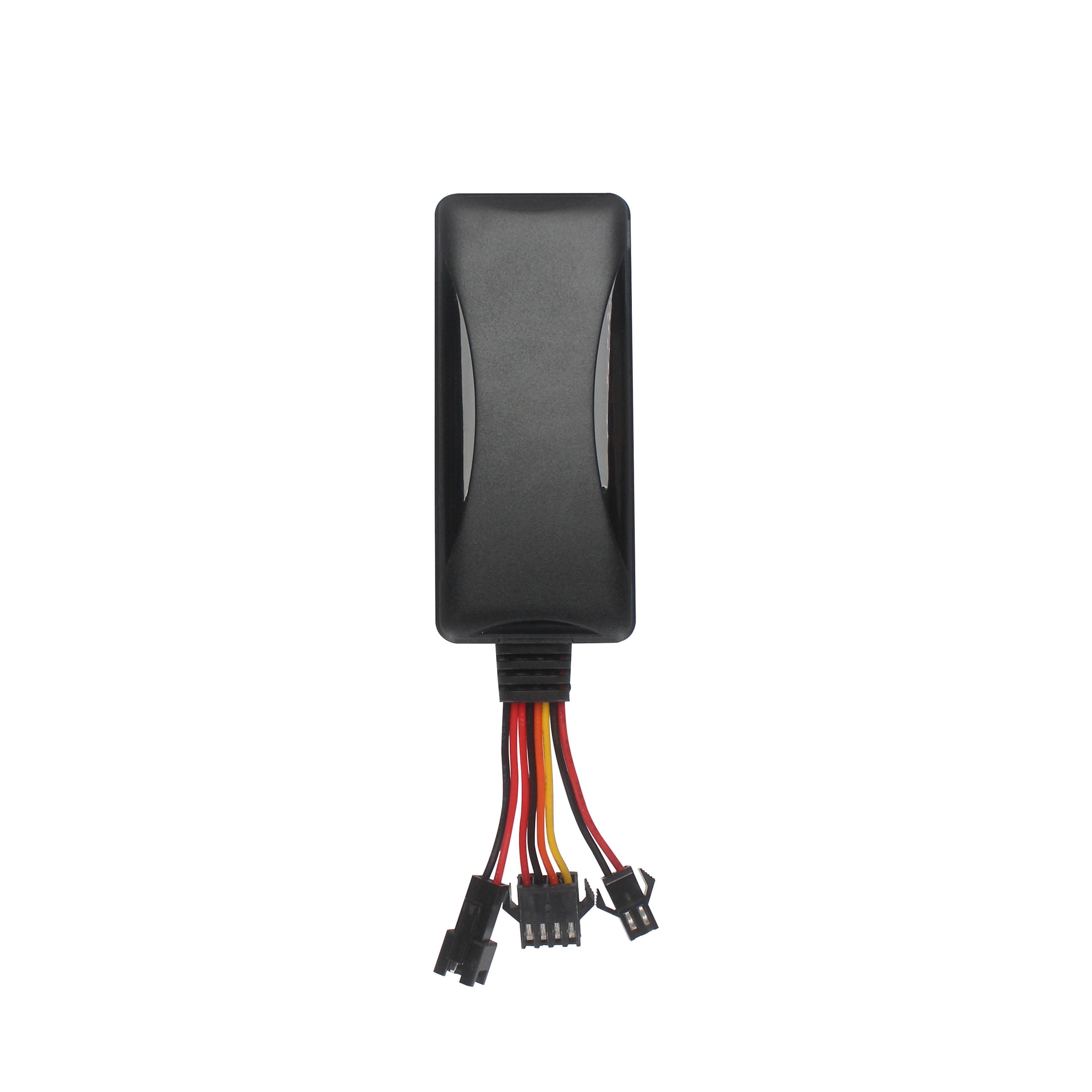
A suitable global GPS tracker manufacturer should provide multi-band 4G LTE Cat 1 devices, confirm network compatibility for the destination market, and support GPS tracking platforms, APIs, OEM/O...
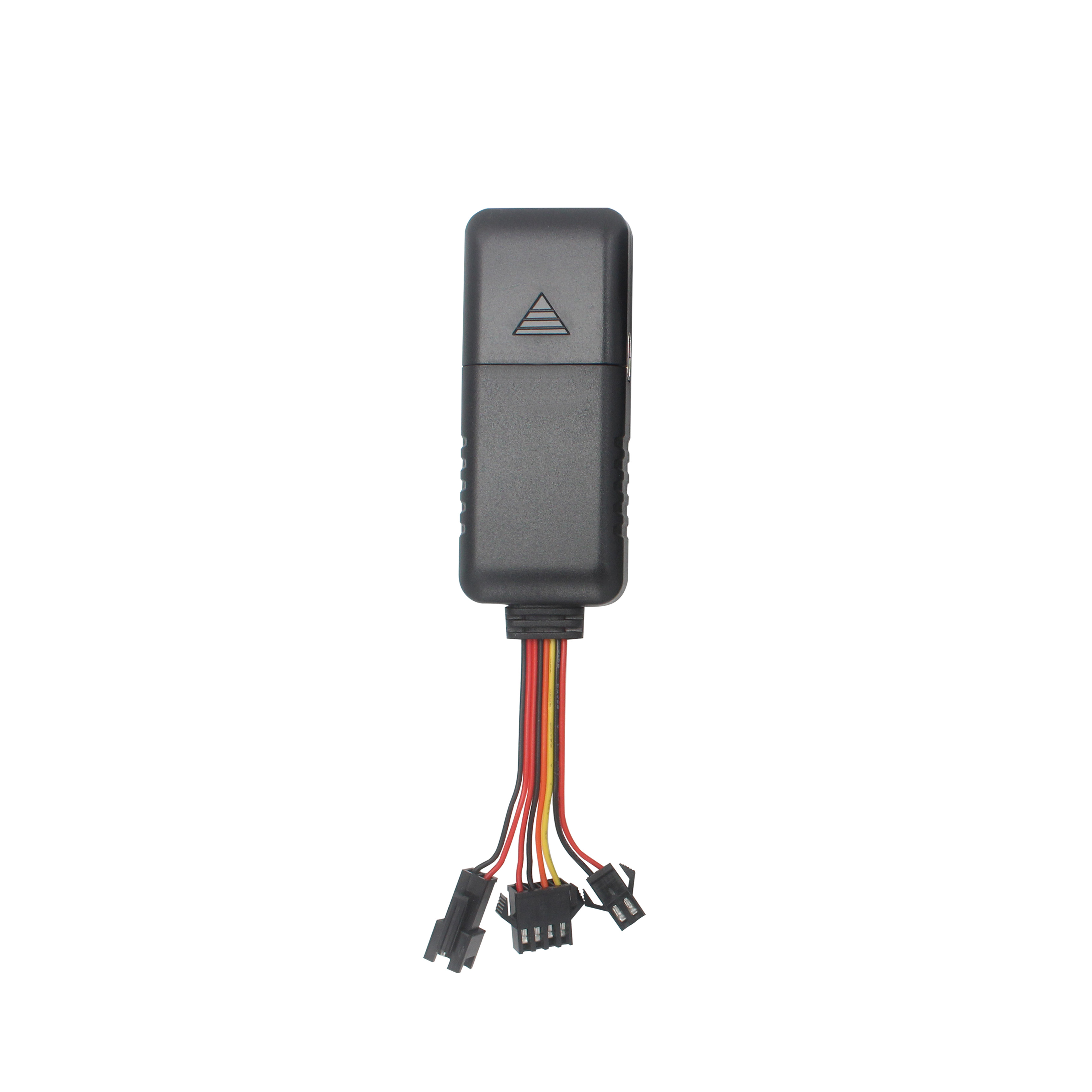
A reliable GPS tracker manufacturer should provide stable 4G real-time tracking, accurate multi-mode positioning, a wide range of device types, fleet and asset management functions, OEM/ODM customizat...
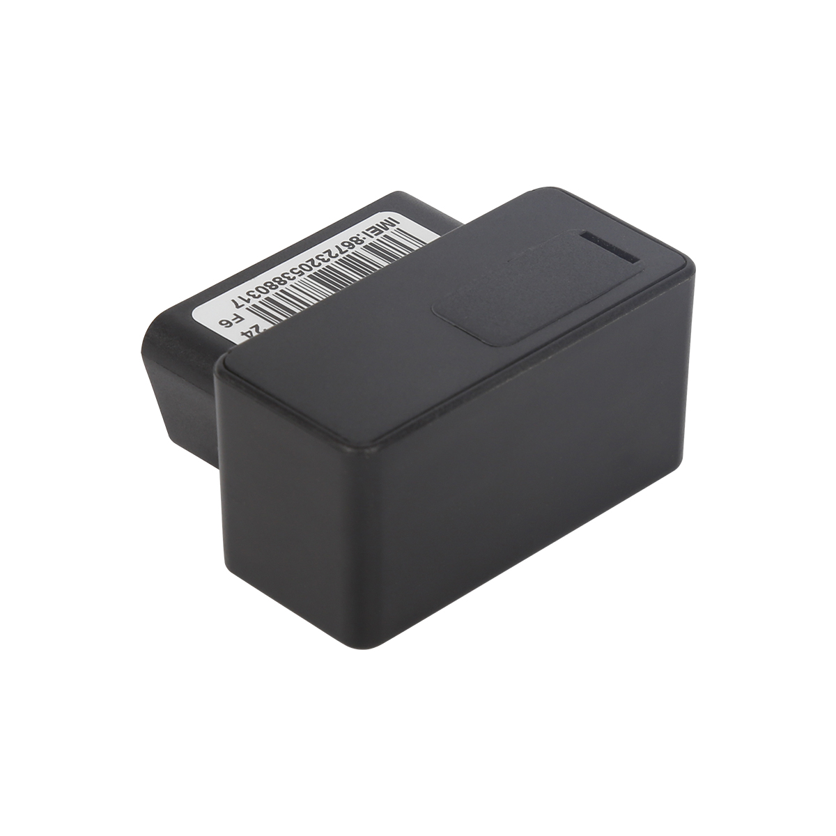
Firstly, let's take a look at why GPS locators are inaccurate and have large errors. GPS positioning accuracy, generally within 10 meters if obtaining Beidou or GPS signals; If it is a signal...
GPS differential positioning technology is an important method to improve the positioning accuracy of the Global Positioning System (GPS). In traditional GPS positioning, satellite signals are af...
Vehicle GPS Navigation System Vehicle mounted GPS navigation system is an indispensable and important device in modern automobiles, providing drivers with convenient and accurate navigation service...
Handheld GPS positioning device is a portable and practical positioning tool widely used in outdoor exploration, geological exploration, forestry investigation and other fields. Handheld GPS posi...
alger.qin@6gpstracker.com
 Phone: +86 198 7412 0903
 Tel: +86 755 2370 2092
 WhatsApp: +86 198 7412 0903
 Add: FL5, BLDG B, Lianxing Industrial Park, JiangJun Rd, Qiuchang, HuiYang District, Huizhou, Guangdong, China
Copyright © Huizhou Cantrack Technology Co., Ltd. All Rights Reserved. Sitemap “仲达荣”商标为惠州市仲达荣科技有限公司所有


Product

About
Support
News
Contact Us







 Language













 EN
EN