
1. In order to avoid damage by thieves, the location of the equipment should be as concealed as possible; 2. Avoid putting it together with the emission source, such as wireless reversing radar,

source:Industry News release time:2022-10-08 Hits: Popular:realtime gps tracker online
1. In order to avoid damage by thieves, the location of the equipment should be as concealed as possible;
2. Avoid putting it together with the emission source, such as wireless reversing radar, anti-theft device, and other in-vehicle communication equipment;
3. It can be fixed with a cable tie, or pasted with a wide sponge strong double-sided tape;
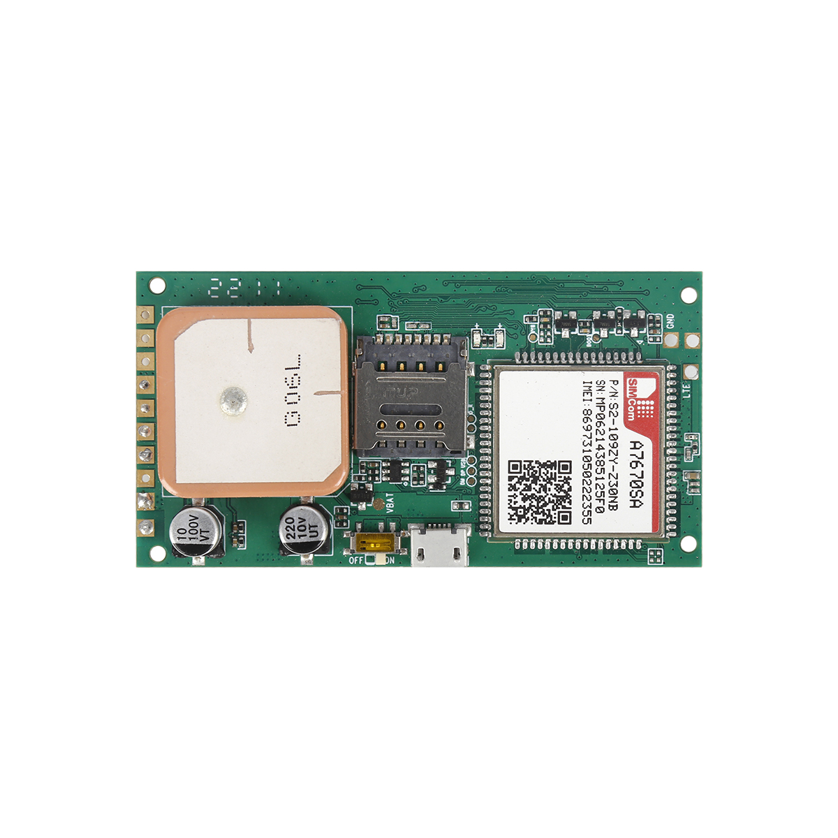
4. There are GSM antennas and GPS antennas in the device, and it should be installed with the front facing up (to the sky).
data reception
Under the implied conditions, the GPS module SiRFStarIII accepts the data of every two output positions, usually the data in the $GPRMC reduced data format, including latitude, longitude, speed (knot), movement direction angle, year, month, hour, minute, second , milliseconds, positioning data is valid or invalid, and other important information. The statement format is as follows:
$GPRMC,,,,,,,,,,,,,*,HH
Only need to know the location information, so in reading only, can be practically applied.
<1>: Local time represents UTC. Format "When every minute, hour, minute and second 2.
<2>: Work represents the country. "" shows available data, "V" means accept alert, no data available.
<3>: Represents latitude data. "The format of the sub-level. Points points."
<4>: "N" or "S" represented by the latitude hemisphere.
<5>: represents longitude data. Format and LD
Status quo; degree minutes. sub-sub-sub-sub.”
<6>: represents the longitude hemisphere, which is "E" or "
The software reads the latitude and longitude data to obtain the user's location for analysis, and determines the user's specific location to establish peace in the area. The method is to determine the latitude and longitude of the center and the latitude and longitude of the center based on the user's settings and calculate that the activity maintaining the current object can exceed the predetermined radius of the peaceful activity. Based on the results of discrimination, set the corresponding flags.
Read recommendations:
P901 4G ID Card GPS Tracker Smart Walkie-talkie
Does the GPS positioner consume a lot of power?gps tracker no monthly fee wholesaler
Compared with the difference between Beidou positioning and GPS positioning.cat gps tracker Manufact
Last article:GPS common signal location
Next article:GPS service platform
Related Information
Car gps tracking Production
2023-04-23Dog gps tracker Factory
2023-04-23car gps tracker custom
2023-04-11Pet GPS Tracker wholesaler
2023-03-16mini gps tracker supplier
2023-04-23rastreador tracker
2023-03-16obd2 tracker supplier
2023-03-16Cantrack G05
2023-04-11simple gps tracking supplier
2023-04-23SecumorePlus
2023-03-16TK103B
2022-06-20Mini Sized GPS Tracker PCBA
2022-06-176000mAh Magnetic Asset GPS Tracker
2026-04-29G01 Smallest Personal Old People Mini GPS Tracker for Kids
2022-06-19G08L - 4inch Smart Tail Light GPS Tracker
2022-06-20Compared with the difference between Beidou positioning and GPS positioning.gps tracker for trailer
2023-06-17Why do cars load a car GPS positioner.rastreador de GPS wholesale
2023-03-15Application of GPS
2022-09-24Application in emergencies GPS.plug & play Obd gps tracker Production
2023-05-06Why is the gps tracker showing offline?
2022-09-08gps vehicle tracker.The System Architecture and Main Functions of Bus GPS Monitoring and Dispatching
2023-11-03GPS/GPRS power-off terminal
2022-12-20Navigator classification.Mouth and word buckle price
2023-06-06Features and functions of in car GPSD
2023-07-27Gps speed limiter.What are the functions implemented after the installation of the car GPS on-board
2023-10-13Solar GPS positioning tracker solve worries
2023-02-23GPS system architecture and analysis
2022-09-01What is the difference between vehicle-mounted GPS locator and vehicle-mounted GPS?Fleet management
2023-03-23What are the information methods sent by GPS reference stations.gps tracker app Manufacturing
2023-06-14Beiqi Foton independently researches and develops the Internet of Vehicles system, Beidou and GPS du
2022-08-11Related Articles

A suitable global GPS tracker manufacturer should provide multi-band 4G LTE Cat 1 devices, confirm network compatibility for the destination market, and support GPS tracking platforms, APIs, OEM/O...

A reliable GPS tracker manufacturer should provide stable 4G real-time tracking, accurate multi-mode positioning, a wide range of device types, fleet and asset management functions, OEM/ODM customizat...

Firstly, let's take a look at why GPS locators are inaccurate and have large errors. GPS positioning accuracy, generally within 10 meters if obtaining Beidou or GPS signals; If it is a signal...

GPS differential positioning technology is an important method to improve the positioning accuracy of the Global Positioning System (GPS). In traditional GPS positioning, satellite signals are af...

Vehicle GPS Navigation System Vehicle mounted GPS navigation system is an indispensable and important device in modern automobiles, providing drivers with convenient and accurate navigation service...

Handheld GPS positioning device is a portable and practical positioning tool widely used in outdoor exploration, geological exploration, forestry investigation and other fields. Handheld GPS posi...
alger.qin@6gpstracker.com
 Phone: +86 198 7412 0903
 Tel: +86 755 2370 2092
 WhatsApp: +86 198 7412 0903
 Add: FL5, BLDG B, Lianxing Industrial Park, JiangJun Rd, Qiuchang, HuiYang District, Huizhou, Guangdong, China
Copyright © Huizhou Cantrack Technology Co., Ltd. All Rights Reserved. Sitemap “仲达荣”商标为惠州市仲达荣科技有限公司所有


Product

About
Support
News
Contact Us


 Language


 EN
EN

