
Multiple data collection G138 supports traditional handheld aircraft, routes, track records, editing and other operations, which increases the data [1] storage limit. Rich data format Data form

source:Industry News release time:2022-10-14 Hits: Popular:realtime gps tracker online
Multiple data collection
G138 supports traditional handheld aircraft, routes, track records, editing and other operations, which increases the data [1] storage limit.
Rich data format
Data formats take into account professional and navigation applications, support data import and export. The output formats include SHP, MIF, DXF, CSV, GDB, TXT, KML, KMZ and other GIS data formats, and the functions of loading maps loading maps (With a 5M-3000km ratio of a large reduction display function. The built-in world version of the map, the national road network map, the national city detailed map. And it can be introduced to various custom map formats, which can achieve the collective display of the collection data in the map.
Flexible area measurement
The G138 supports the area of the route and the track measurement. It has a professional area measurement function and is suitable for different measurement objects. It effectively improves the accuracy of the measurement area.
Leading battery compatibility
It is designed with a compatible battery warehouse with 2 AA batteries and lithium batteries. At the same time, it improves the standby time of the machine to more than 12 hours, and fully meets long -term continuous operation.
Massive storage space
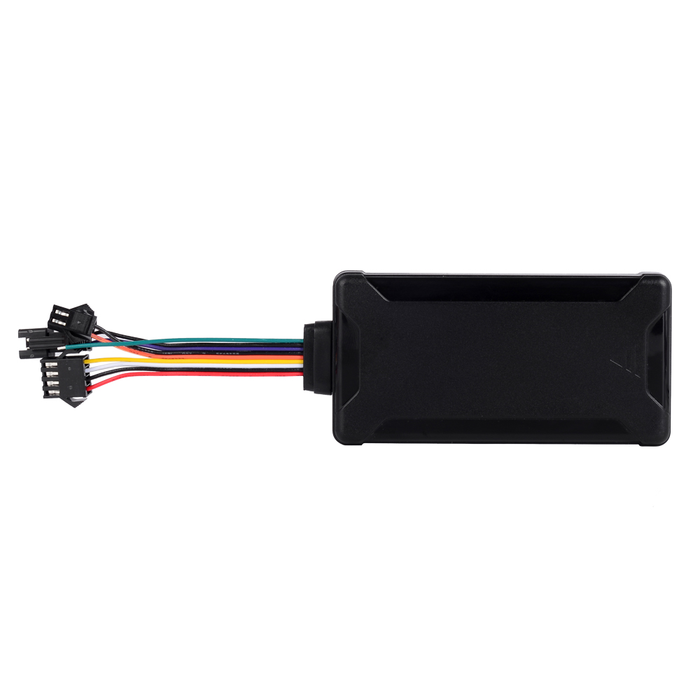
128MB SDRAM, 4GB Flash, supports TF memory expansion.
Intimate operation design
The G138 adopts the currently most leading technical system architecture design, and on the basis of handheld products, it takes into account professional applications. Unique joystick keys to truly achieve one -handed flexible operation; highly integrated design, beautiful, small, lightweight.
Visual effect is super strong
The G138 uses an industrial-grade screen suitable for outdoor work-2.4-inch TFT color screen. It uses humanized software UI design. The screen is still clearly visible under the strong sunlight.
Industrial three defense quality
IP67 -level dustproof and waterproof level to meet the harsh operating environment.
Easy intelligent navigation
G138 has a detailed map of the country, supports linear navigation and intelligent navigation (navigation along the road), built -in information about various interest points, and supports interest in query and navigation.
Read recommendations:
The principle of GPS indoor positioning technology
Why do cars load a car GPS positioner.rastreador de GPS wholesale
Last article:The role of GPS module in GNSS UAV
Next article:The core chip is one of the key parts of a GPS system
Related Information
4G GPS Tracker manufacturer
2023-04-23car gps tracker Processing
2023-04-23Pet GPS Tracker Factory
2023-03-16obd2 gps tracker verizon wholesale
2023-03-16mini gps tracker Vendor
2023-04-23pet gps tracker cat
2023-04-11mini gps tracker Manufacturing
2023-04-23gps vehicle tracker manufacturer
2023-04-23personal gps tracker wholesaler
2023-03-16realtime gps tracker online
2023-04-11G200(L) -Magnet GPS Tracker
2022-06-20TK103B
2022-06-20G900LM iButton GPS Tracker
2026-05-29P02L Smart Walkie-Talkie Tracker
2026-04-29C32Plus (9~90V E-bikes/Motorcycle/Car gps tracker)
2022-06-21How to reduce the risk of car loan in car positioning terminals
2023-02-16What are the cases of GPS positioner?gps tracker no monthly fee manufacturer
2023-03-28Positioning Technology Based on GPS Mobile Network
2022-10-10Development Trend of Automobile GPS Positioning System
2022-12-07Handheld GPS Device
2022-08-18GPS module NMEA0183 standard statement.portable gps tracker Factory
2023-07-12Electric car is equipped with GPS positioning function and recovered the same day after being stolen
2022-08-11GPS_GPRS system composition and characteristics
2022-10-28What kind of Bluetooth GPS do you choose?fleetmanagement webfleet solutions
2022-11-16What are the advantages of electric vehicle GPS positioner?
2023-04-03GPS Function Introduction
2022-10-27How to implement GPS monitoring function.trailer gps tracker Solution
2023-07-10GPS expansion function.gps tracker for Car wholesale
2023-06-21The role of GPS satellite.GPS Tracker for vehicles manufacture
2023-04-21GPS cooperation for multiple wins.mini gps tracker
2023-09-23Related Articles

A suitable global GPS tracker manufacturer should provide multi-band 4G LTE Cat 1 devices, confirm network compatibility for the destination market, and support GPS tracking platforms, APIs, OEM/O...

A reliable GPS tracker manufacturer should provide stable 4G real-time tracking, accurate multi-mode positioning, a wide range of device types, fleet and asset management functions, OEM/ODM customizat...

Firstly, let's take a look at why GPS locators are inaccurate and have large errors. GPS positioning accuracy, generally within 10 meters if obtaining Beidou or GPS signals; If it is a signal...

GPS differential positioning technology is an important method to improve the positioning accuracy of the Global Positioning System (GPS). In traditional GPS positioning, satellite signals are af...

Vehicle GPS Navigation System Vehicle mounted GPS navigation system is an indispensable and important device in modern automobiles, providing drivers with convenient and accurate navigation service...

Handheld GPS positioning device is a portable and practical positioning tool widely used in outdoor exploration, geological exploration, forestry investigation and other fields. Handheld GPS posi...
alger.qin@6gpstracker.com
 Phone: +86 198 7412 0903
 Tel: +86 755 2370 2092
 WhatsApp: +86 198 7412 0903
 Add: FL5, BLDG B, Lianxing Industrial Park, JiangJun Rd, Qiuchang, HuiYang District, Huizhou, Guangdong, China
Copyright © Huizhou Cantrack Technology Co., Ltd. All Rights Reserved. Sitemap “仲达荣”商标为惠州市仲达荣科技有限公司所有


Product

About
Support
News
Contact Us


 Language


 EN
EN

