
GPS is a kind of precise satellite navigation system. The system consists of 24 satellites orbiting the Earth that continuously send information about their position and time. These satellites are



 Home > News > Other information > truck tracking webfleet solutions > The basic architecture and characteristics of GPS
source:truck tracking webfleet solutions release time:2022-10-15 Hits: Popular:realtime gps tracker online
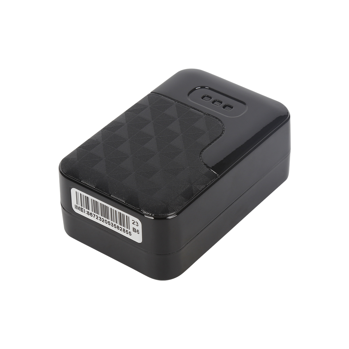
GPS is a kind of precise satellite navigation system. The system consists of 24 satellites orbiting the Earth that continuously send information about their position and time. These satellites are evenly distributed in six orbits with four satellites in each orbit. Ground-based GPS receivers can receive signals from 5 to 12 satellites. In order to realize the ground positioning function, the GPS receiver needs to receive at least four satellite signals, three of which are used to calculate the latitude, longitude and altitude of the GPS receiver, and the fourth signal provides synchronization time calibration.
GPS system is mainly divided into three parts: first, the satellite, in the sky to provide positioning information; Second, the control system maintains the normal operation of the satellite on the ground to ensure the health of the satellite; Third, the receiver, the part used by ordinary users. The principle of positioning is to divide the Earth into 12 transverse sections, each of which has two positioning satellites at an Angle of 180 degrees, so that standing at any point on the earth, there are always 12 positioning satellites overhead. The distance, coordinates and angles between satellites are known, and the distance between satellites and people can be measured. According to the geometric principle, the receiver can usually determine the two-dimensional coordinates, namely longitude and latitude, as long as it receives the information of three satellites, and the altitude can be determined after receiving the information of four satellites.
The current network of satellites (up to 27) operates in asynchronous, low-Earth orbit and covers the globe, keeping the positioning system operational. GPS receivers need to lock on at least four stars to provide location information. These long series of codes (or combinations of numbers) broadcast or transmitted by satellite are called pseudo-random codes. The GPS receiver can calculate the transmission time of the satellite through the known satellite pseudo-random code, the speed of light and the query table to maintain the satellite position, and then convert the transmission time to distance. Under the condition of multiple satellites (more than 4), the position of the GPS receiver can be calculated by solving the trigonometric equation, and the position of the user is also provided.
The GPS chip is composed of a radio frequency integrated circuit, a digital signal processing circuit and standard embedded GPS software. Radio frequency integrated circuit used in GPS rf signal detection and processing, digital signal processing circuit for processing intermediate frequency signal, the standard embedded GPS software used to search and track the GPS satellite signal, and according to these signals to solve the user coordinate and speed, its main market is in the equipment, automobile, wireless portable computational devices as well as some CPS professional users. FIG. 1 shows the block diagram of the handheld GPS system chip structure.
Read recommendations:
Last article:Advantages of traditional GPS and new technology GPS solutions
Next article:The application processor completes the GPS/Galileo function
Related Information
simple gps tracking company
2023-04-23personal gps tracker
2023-03-16Pet GPS Tracker Vendor
2023-03-164G GPS Tracker manufacture
2023-04-23obd-II port gps tracker
2023-04-234G GPS Tracker for vehicles Vendor
2023-04-23fleet gps trackers price
2023-04-23gps tracker with magnet
2023-03-16gps tracker with magnet
2023-04-11Car gps tracking manufacturer
2023-04-236000mAh Magnetic Asset GPS Tracker
2025-03-314G OBD2 GPS Tracker
2026-04-29G900LM J16-4G Car GPS Tracker
2026-04-29G900LS 8 Lines-4G Car GPS Tracker
2026-04-29TK08AL- RFID Car GPS Tracker
2023-10-07GPS tracking monitoring promotes mobile logistics management
2022-08-17Application of GPS as Satellite Altimeter
2022-08-02Xiaobian Xiaobian tells you the role of the truck installation of the Beidou positioning system.plug
2023-04-25GPS position difference principle
2022-10-11The editor tells everyone where car GPS is usually installed.obd-II port gps tracker sales
2023-06-16GPS module NMEA0183 standard statement.portable gps tracker Factory
2023-07-12What is the Galileo Plan?
2022-12-12There are three parts to the GPS plan
2022-08-12Introduction to GPS module.Dog gps tracker manufacturer
2023-07-12What kind of Bluetooth GPS do you choose?fleetmanagement webfleet solutions
2022-11-16GPS commonly used term.obd2 gps tracker verizon price
2023-06-05This section describes GPS working modes
2022-11-01GPS Principal Component Analysis
2022-11-09V2V technology combined with GPS technology and wireless communication technology
2022-12-12GPS introduction.real-time gps tracking Vendor
2023-05-27Related Articles
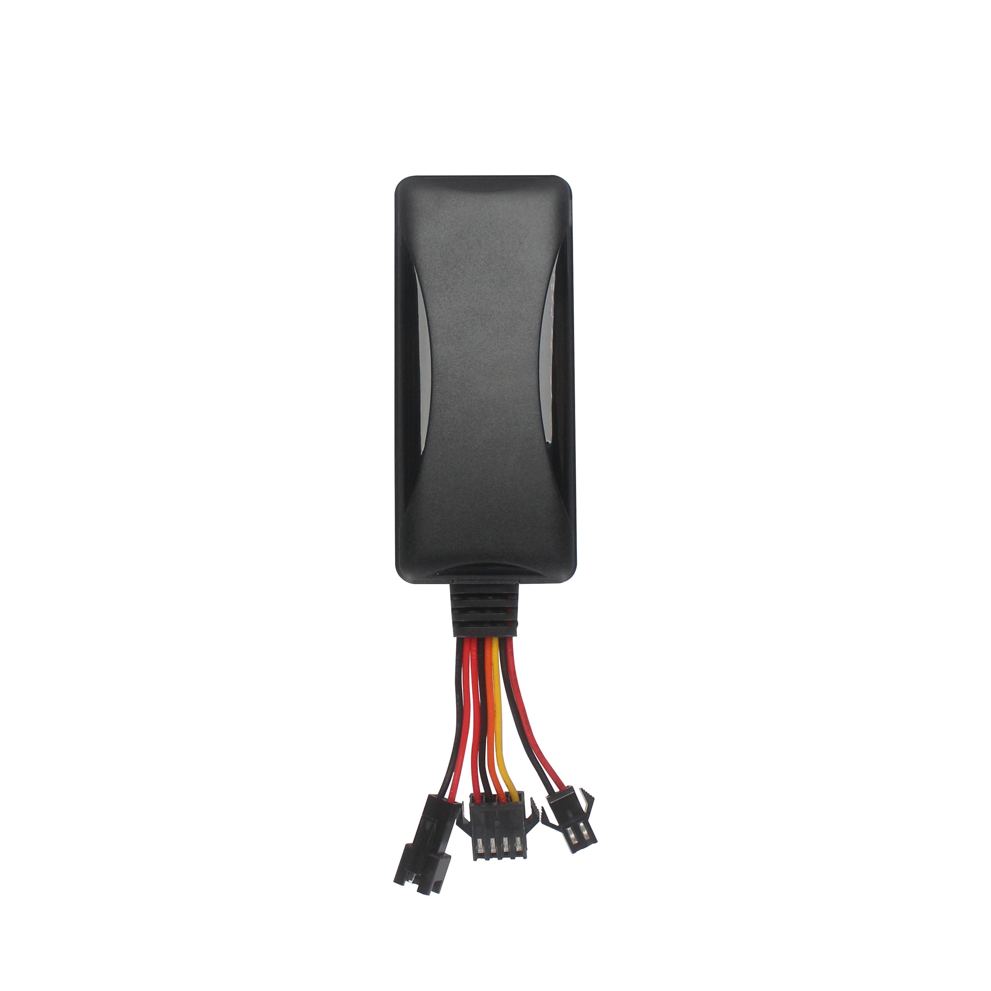
A suitable global GPS tracker manufacturer should provide multi-band 4G LTE Cat 1 devices, confirm network compatibility for the destination market, and support GPS tracking platforms, APIs, OEM/O...
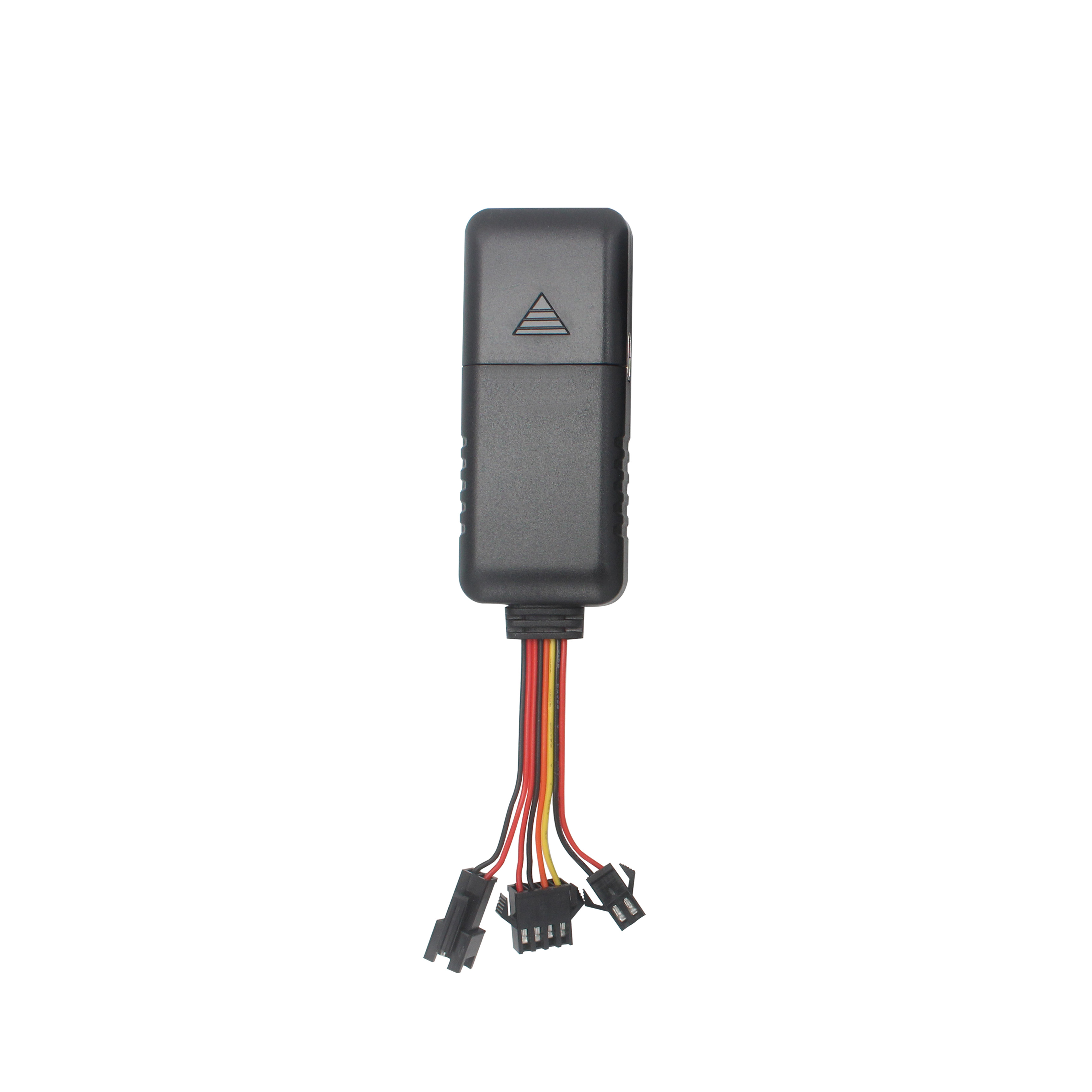
A reliable GPS tracker manufacturer should provide stable 4G real-time tracking, accurate multi-mode positioning, a wide range of device types, fleet and asset management functions, OEM/ODM customizat...
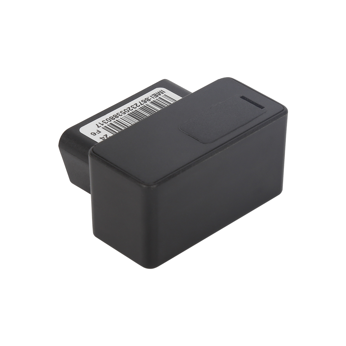
Firstly, let's take a look at why GPS locators are inaccurate and have large errors. GPS positioning accuracy, generally within 10 meters if obtaining Beidou or GPS signals; If it is a signal...
GPS differential positioning technology is an important method to improve the positioning accuracy of the Global Positioning System (GPS). In traditional GPS positioning, satellite signals are af...
Vehicle GPS Navigation System Vehicle mounted GPS navigation system is an indispensable and important device in modern automobiles, providing drivers with convenient and accurate navigation service...
Handheld GPS positioning device is a portable and practical positioning tool widely used in outdoor exploration, geological exploration, forestry investigation and other fields. Handheld GPS posi...
alger.qin@6gpstracker.com
 Phone: +86 198 7412 0903
 Tel: +86 755 2370 2092
 WhatsApp: +86 198 7412 0903
 Add: FL5, BLDG B, Lianxing Industrial Park, JiangJun Rd, Qiuchang, HuiYang District, Huizhou, Guangdong, China
Copyright © Huizhou Cantrack Technology Co., Ltd. All Rights Reserved. Sitemap “仲达荣”商标为惠州市仲达荣科技有限公司所有


Product

About
Support
News
Contact Us







 Language














 EN
EN