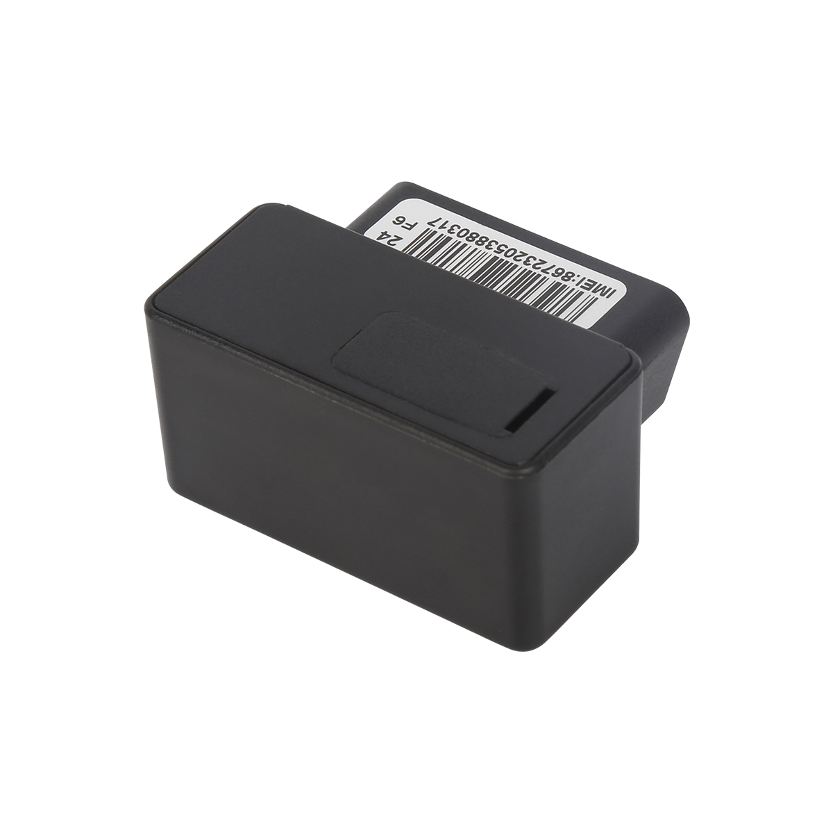
source:truck tracking webfleet solutions release time:2023-12-22 Hits: Popular:realtime gps tracker online

The handheld GPS navigator can collect various data and has basic functions such as positioning navigation, altitude measurement, distance measurement, etc. It is mainly used in field exploration and outdoor exploration. In addition, various industry application functions with specific requirements can be customized to meet the personalized usage needs of users. Old donkey friends often pay more attention to the following five elements when choosing a handheld GPS navigator:
The accuracy and speed of GPS positioning are the decisive factors in determining the quality of handheld GPS. Generally, it should be compatible with various mainstream handheld GPS platform software, equipped with a professional navigation engine, with professional waypoint markings, and equipped with a three-axis electronic compass. Even without GPS signal, it will not lose its direction.
The three defense capabilities of handheld GPS must be strong in terms of waterproofing, shock resistance, and dust prevention, as outdoor exploration and exploration require crossing mountains and mountains, exposure to sunlight and rain. General requirements include IPX7 waterproof performance, 1 meter underwater, waterproof within 30 minutes, and 1 meter natural drop resistant design to meet the stringent requirements of outdoor operations.
Due to the long duration of outdoor exploration, there is also a high demand for the endurance of handheld GPS. Traditional navigation devices, such as those with a range of less than 4 hours, are far from sufficient. Generally, the battery life is required to be at least 15 hours. An external battery pack can be prepared, but attention should be paid to the reliability and stability of the power interface.
Before departure, it is best to plan your itinerary based on an understanding of the terrain and traffic, which requires a handheld GPS with a terrain map. Its map function should have built-in national transportation details, accompanied by geographical details of each region, detailed to townships and villages, with contour lines and other terrain data maps, which can be upgraded and refined for life.
The functional application of handheld GPS should also have certain characteristic functions, such as mobile GIS data collection, field mapping, waypoint storage coordinates, calculation of length, area angle, and various field measurement data functions; Photo taking function, Bluetooth wireless transmission, additional functions such as photo browsing, calendar, sun, moon, astronomy, calculator, etc.
Read recommendations:
VSL100 GPS Speed Limiter, Speed Governor
Last article:gps vehicle tracker.What is the difference between Apple Watch cellular version and GPS
Next article:gps vehicle tracker.Galileo and Beidou positioning system
Related Information
Dog gps tracker sales
2023-04-23Gps speed limiter manufacture
2023-04-23pet gps tracker cat Manufacturing
2023-03-16simple gps tracking manufacturer
2023-04-23gps vehicle tracker Solution
2023-04-23GPS Tracking
2023-04-11Vehicle tracking device
2023-03-164G GPS Tracker for vehicles distributors
2023-04-23mini gps tracker custom
2023-04-23Gps speed limiter maker
2023-04-23GF30 Magnet GPS tracker with Voice listen
2022-06-2110000mAh Magnetic Asset GPS Tracker
2025-04-08G01 Smallest Personal Old People Mini GPS Tracker for Kids
2022-06-19TK08AL- RFID Car GPS Tracker
2023-10-07Mini Sized GPS Tracker PCBA
2022-06-17Application of GPS in Car Navigation and Traffic Management
2022-07-13GPS positioning technology
2022-11-24Hardware Design of GPS System
2022-11-10GPS establishes network connection
2022-10-19Do not illegally install GPS trackers
2022-09-14GPS vehicle tracking and dispatching function
2023-02-02mini gps tracker.Target Customer Classification of Automotive Beidou GPS Positioning and Monitoring
2023-11-06GPS locator installation
2022-10-27The complete installation step of the wiring car GPS positioner
2023-03-28What are the GPS satellites?gps tracker for trailer manufacturer
2023-04-21GPS establishes network connection
2022-10-19GPS selection.Hidden GPS Trackers wholesale
2023-06-28The main problems affecting the development of the GPS industry
2023-02-16Simulator test GPS
2022-10-10Xiaobian Xiaobian tells you the role of the truck installation of the Beidou positioning system.plug
2023-04-25